Essex, Montana
Looking for the best photography in Essex? We've got you covered with the top trails, trips, hiking, backpacking, camping and more around Essex. The detailed guides, photos, and reviews are all submitted by the Outbound community.
Top Photography Spots in and near Essex
-
Essex, Montana
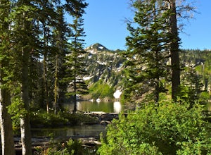
Hike to Dickey Lake
5.2 mi / 1463 ft gain*Parking for this hike is very limited, as the parking area can hold one, maybe two, vehicles. This 5.2 mile roundtrip hike begins near Essex, Montana, at 4,620 feet of elevation, and leads to a small, hidden lake nestled in the Great Bear Wilderness. Immediately after leaving the parking area, ...Read more -
Bigfork, Montana
Swim in Graves Bay Swimming Hole
To get to this swimming hole you drive south from Hungry Horse on the West Side Road (Forest Road 895) 33.6 miles to the Graves Creek Campground. Park in the small parking lot with the bear box and outhouse, opposite the campground closer to the lake. Follow the path as it leads you past the casc...Read more -
Bigfork, Montana
Explore Graves Creek Falls
Graves Creek Falls are a series of pleasant waterfalls viewable without much effort. To get here From Hungry Horse drive south on the West Side Road (Forest Road 895) 33.6 miles to the Graves Creek Campground. From here turn right into the campground, park and take a short walk of a couple hundre...Read more -
West Glacier, Montana
Snowshoe Skiumah Trail
1.9 miThe trailhead for Skiumah Creek Trail is located just off of highway 2, and is well marked from both directions of the road. It is roughly 15 miles East on Highway 2 from the West Glacier Entrance of Glacier National Park. Parking is located on the other side of Highway 2 than the actual trailhea...Read more -
Kalispell, Montana
Backpack to Black Lake
7 mi / 1500 ft gainBegin at Camp Misery (elev. 5,717 ft). This is a total misname by the way! It should be titled Camp On The Way To Awesomeness! Anyway, head .6 miles on Trail 8 to the intersection of trail. From here turn right on Trail 68 and hike .7 miles until the intersection where you turn right on Trail 7 f...Read more -
Kalispell, Montana
Backpack to Clayton Lake
9 mi / 1500 ft gainFrom the Camp Misery Trailhead (elev. 5,717 ft) take the left Trail 8 for .6 miles. At the junction continue left for a 1.3 mile gently ascent into Jewel Basin. Nearing Twin Lakes continue left on Trail 7 for .6 miles until you reach Trail 55. Continue right, and make sure that after a short .3 m...Read more -
Kalispell, Montana
Hike to Summit of Mount Aeneas
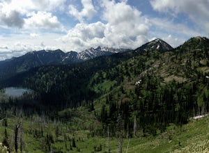
4.96 mi / 1700 ft gainThis hike can easily be overlooked since it is in such a geographically rich area, with Glacier National Park and the Bob Marshall Wilderness so close, but it is absolutely a hidden gem that doesn't get enough attention. Mount Aeneas sits at just over 7,500 feet and from the summit it gives amazi...Read more -
Glacier County, Montana
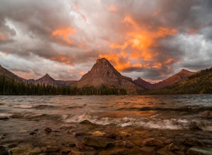
Explore Two Medicine Lake
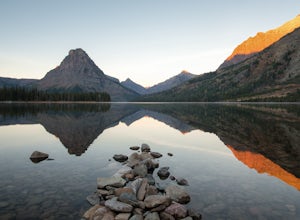
5.0Two Medicine Lake sits in the southeastern part of Glacier NP away from the more popular Going-to-the-Sun Road. The 2-mile long lake has a 100 site campground that serves visitors on a first-come-first-serve basis; the campground opens mid-April and closes in November. From the main parking area...Read more -
Glacier County, Montana
Hike to Scenic Point in Glacier National Park
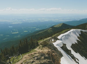
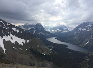
5.07.74 mi / 2205 ft gainPark at the trailhead and begin the hike. The trail starts out relatively flat until you reach a small waterfall. Then, hike up the switchbacks for about 4 miles while gaining around 2300 feet. From the top, you can see both Upper Two Medicine Lake and Two Medicine Lake. The views are stunning. ...Read more -
East Glacier Park, Montana
Dawson Pass
5.012.01 mi / 2450 ft gainThis is a somewhat strenuous but extremely rewarding hike in Glacier National Park. It is much less crowded than the more popular Logan Pass and High Line trails, and in my opinion, more rewarding. Dawson Pass is on the Continental Divide at an elevation of 7,598 feet. It sits between Mt. Helen ...Read more -
Glacier County, Montana
Pitamakan Pass
15.36 mi / 3064 ft gainThis gripping, 16 mile round trail reveals adventure at every turn. Nestled behind Pray Lake in Glacier National Park, the Pitamakan Pass hike will begin at the North Shore Trailhead. To access this trailhead, a fifteen dollar fee may be payed to cross Pray Lake by boat. If your pocket book is ru...Read more -
Glacier County, Montana
Upper Two Medicine Lake
9.67 mi / 719 ft gainI did this trip during the end of autumn, and was pretty much the only person on the entire lake. With it being so serene and so quiet, I had the perfect nature getaway. I made sure to watch an epic sunrise on Two Medicine Lake, then spend the day taking my time to the upper lake and back, with a...Read more -
Martin City, Montana
Drive around Hungry Horse Reservoir
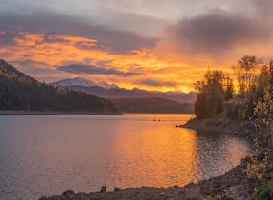
About 100 miles of mostly gravel roads (14 miles of pavement) will take you around this beautiful reservoir. With that many miles of road and the shoreline to go with it, it is obvious that there is plenty to see and do in the Hungry Horse area. Check out some of my other adventures for ideas of...Read more -
Glacier County, Montana
Running Eagle Falls
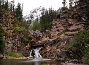
5.00.68 mi / 33 ft gainRunning Eagle Falls is located just 1.1 miles west from the Two Medicine entrance in Glacier National Park. The trailhead parking lot is just off the main road going to the lake– it is essentially impossible to miss. It mimics parking spots on the side of a city street. This hike is handicap ac...Read more -
Flathead County, Montana
Hike to Blaine Mountain
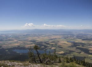
7.3 mi / 2350 ft gainTo reach the trailhead for this hike, it is about an hour's drive from nearby Kalispell. You will drive around Hungry Horse Reservoir on the West Side Road, and turn off onto Doris Creek Road. Be sure NOT to get this mistaken with the nearby Doris Ridge Road. Once turning onto Doris Creek Road, i...Read more -
West Glacier, Montana
Capture Sunrise or Sunset at Lake McDonald
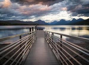
5.0Lake McDonald doesn't offer the close-up views of glaciers and mountains like some of the other spots in Glacier NP, but it does offer sweeping views of park's west side. The most popular spot to photograph this grand perspective is along the southwest beach and dock. The dock makes the most in...Read more

