Essex, Montana
Looking for the best photography in Essex? We've got you covered with the top trails, trips, hiking, backpacking, camping and more around Essex. The detailed guides, photos, and reviews are all submitted by the Outbound community.
Top Photography Spots in and near Essex
-
West Glacier, Montana
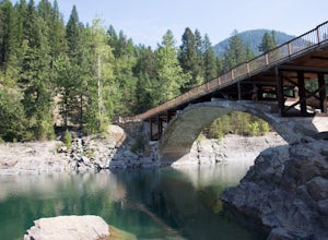
Swim at the Belton Bridge
2.0The Belton Bridge is the old entrance to glacier. You can get there by turning right down old river bridge road, which is the first right when you turn in to the West Glacier village. There are some 5-8 ft rocks to jump off, but be sure to check the water below them first. The water is gorgeous, ...Read more -
Glacier County, Montana
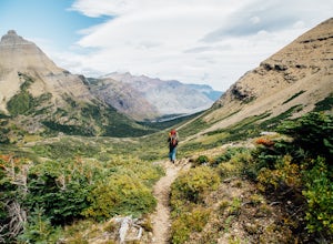
Triple Divide Pass Trail to Red Eagle Lake
29.22 mi / 5499 ft gainA couple of notes to keep in mind before you start... this is a loop that takes you to a different part of the park so you will either need two vehicles (one for the pickup spot and one to take you to the trailhead) or you will need to hitchhike back to you drop off vehicle. Also you will need to...Read more -
Hungry Horse, Montana
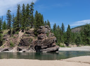
Relax at Spotted Bear Beach
Spotted Bear Beach is a secluded white sand beach in the middle of Montana. To get here from the town of Hungry Horse, drive east on Highway 2 for ½ mile to the East Side Reservoir Road #38. Turn right (south) onto Road #38 and drive on through the town of Martin City. After two miles the pavemen...Read more -
West Glacier, Montana
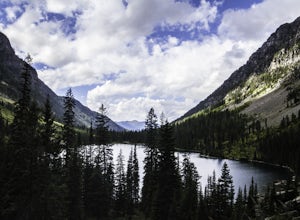
Backpack to Lincoln Lake
16.75 mi / 3747 ft gainIt's a 1600 ft slow increase in elevation. You can walk around the loose rocks going around the lake for an additional 2 miles of hiking. There is a back-country campground at the base of the glacier-fed lake and an amazing waterfall at the opposite end of the of the campground. To camp overnig...Read more -
West Glacier, Montana
Camp at Sprague Creek Campground on Lake McDonald
4.5Ten miles long and nearly 500 feet deep, Lake McDonald, the largest lake in Glacial National Park. Sprague Creek is a small 25-site campground on the northeast shore of the lake, about 9 miles from the west entrance of the park. Campsites are on a first-come, first-serve basis and fill up early....Read more -
Bigfork, Montana
Hike to Bond Lake
5.011.6 mi / 2300 ft gainFrom Kalispell, head south towards Swan Lake along Highway 83 until a sign for Bond Creek Trailhead is located on the east side oft the road near mile marker 71. Turning onto Forest Service Road #680 and after 1.5 miles, turning on FS Road #9507, the trailhead will be 2.3 miles after the intersec...Read more -
Flathead National Forest, Montana
Hike Montana's Swan Crest Trail
47 miGetting There: Coming from Seeley Lake, take the road towards Bigfork. Continue until you get to mile marker 27 and turn right into the Morrell/Clearwater turn off. Stay on the road most traveled until you dead end at the trail head roughly 7 miles up the road. Park here. The Trail: The trail ...Read more -
Hungry Horse, Montana
Hike to the Blue Lakes
2 mi / 100 ft gainThe drive out to the trailhead where this hike starts is an adventure in and of itself. As the Forest Service website describes it. "Silvertip Trailhead is accessed from Highway 2. From the town of Hungry Horse, drive east on Highway 2 for ½ mile to the East Side Reservoir Road #38. Turn right (s...Read more -
Browning, Montana
Hike to Sun Point
5.01.6 mi / 250 ft gainWith panoramic views of St. Mary Lake and it’s surrounding peaks, Sun Point is the perfect spot to chill/relax in Glacier National Park. It can be reached via the Sun Point Nature Trail or the Sun Point picnic area.To reach Sun Point via the nature trail, start at Sunrift Gorge parking area. Cl...Read more -
Browning, Montana
Baring, St. Mary, and Virginia Falls in Glacier NP
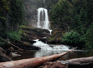
4.75.43 mi / 500 ft gainThis 5.4 mile out-and-back hike will take you to Baring, St. Mary, and Virginia Falls. Start your hike at the Sunrift Gorge parking area. Hike down the stairs on the south side of the road. Here you’ll see the trailhead for Baring Falls. Descend until you reach the Baring Falls/Sun Point junc...Read more -
Browning, Montana
Gunsight Pass to Gunsight Lake Campsite
5.013.06 mi / 1667 ft gainHow to Get There: Get your backcountry pass at the St. Mary visitor center and then head over to the hike, which begins from the Jackson Glacier Overlook, located 12.6 miles west of the center on the Going-to-Sun-Road. The Hike: The first mile of the hike is a downhill, and then the trail is ...Read more -
Glacier County, Montana
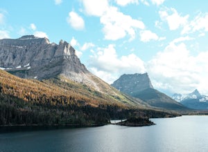
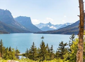
Photograph Wild Goose Island
5.0Wild Goose Island in Glacier National Park is one of the most iconic photography locations in the park. As a subject it differs wildly from time of year and time of day; a gorgeous 14' tall element surrounded by a vast alpine lake in the heart of a glaciated valley set against glacier-carved peak...Read more -
Browning, Montana
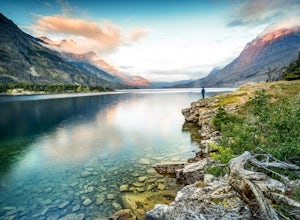
Capture Sunrise at St. Mary Lake
5.0One of the more popular spots to photograph this lake is from the Wild Goose Island pullout. However, I prefer to get off the beaten path a little bit and avoid the crowds. The pin on the map will take you to the next pullout just east of Wild Goose Island, but before you get to Rising Sun campgr...Read more -
Browning, Montana
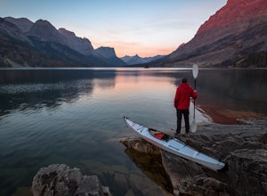
Kayak Saint Mary Lake, Glacier National Park
Glacier National Park, one of the United States' finest national parks, is home to some of the most spectacular glacially carved lakes in the country. Situated along the famous Going-to-the-Sun (GTTS) road, Saint Mary Lake, the park's second largest lake, offers some of the finest views in the pa...Read more -
Browning, Montana
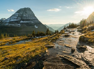
Photography on Logan Pass
5.0Disclaimer: Glacier National Park has closed any off-trail activity in this area. The majority of the photos can be taken on-trail. Please be sure to adhere to the park's policy.With a short window of opportunity for visiting, Logan Pass offers a wealth of photographic options. As the winter sno...Read more -
Browning, Montana
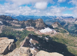
Reynolds Mountain
4.511 mi / 2500 ft gainReynolds Mountain stands high above the Logan Pass Visitors Center. Because of it's easy location, be prepared to get caught in the heavy rush of tourists on the way up. Though most will not be going to Reynolds Mountain, you will still need to "wade" through heavy tourism to reach the trail he...Read more

