Minnesota
Looking for the best hiking in Minnesota? We've got you covered with the top trails, trips, hiking, backpacking, camping and more around Minnesota. The detailed guides, photos, and reviews are all submitted by the Outbound community.
Top Hiking Spots in and near Minnesota
-
Grand Marais, Minnesota
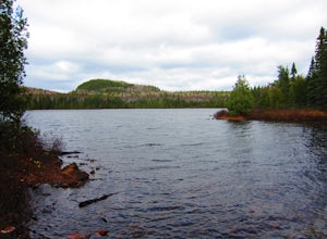
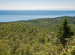
Hike Eagle Mountain
5.07 mi / 554 ft gainThis moderate hike takes you to the highest point in Minnesota, at all of 2,301 ft in elevation. The first part of the hike, which runs along Whale Lake, is a gentle upwards climb. You gain most of the hike's elevation in the final push to the top, within the last mile of the hike. Enjoy the view...Read more -
Northome, Minnesota
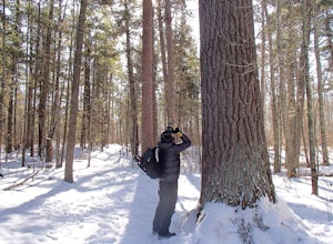
Hiking The Lost Forty
4.5A little known section of the Chippewa National Forest called “The Lost Forty" leads day hikers through some of the last remaining virgin red and white pine trees in Minnesota. These trees are 300-400 years old and measure between 22 and 48 inches in diameter. But even more incredible than the ag...Read more -
Spring Grove, Minnesota
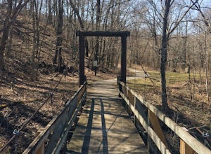
Hike the Beaver Creek Valley Trail
5.06.2 mi / 250 ft gainThis beautiful, green hike takes you along Beaver Creek, as it winds through a lush gorge within the bluffs. Park at the entrance to Beaver Creek Valley State Park, where the park ranger can direct you to the trailhead. Here is a helpful map of the park.Read more -
Minnesota City, Minnesota
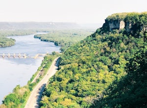
Climb Mt. Charity at John A. Latsch State Park
5.01 mi / 500 ft gainJohn A. Latsh State Park is directly off of Hwy. 61 a few miles north of Winona. Begin your hike at the parking lot, following the signs for the Riverview Trail. The hike itself is a short, but steep climb on a series of steps up the side of the Mt. Charity Bluff. Winding through verdant valley f...Read more -
Waskish, Minnesota
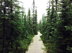
Walk the Big Bog Boardwalk
4.72 miBig Bog, an uninspired name for the 500 sq. mile bog in north central Minnesota (the largest in the continental United States), is sometimes called Minnesota's last true wilderness. The Boundary Water Wilderness is so remote, unvisited, and uninhabitable that all attempts at settlement failed - t...Read more -
Schroeder, Minnesota
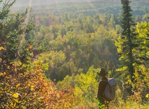
Hike to Carlton Peak
4.06.2 mi / 325 ft gainOne of the trailheads for this hike begins at Temperance River State Park. Parking can be found alongside Highway 61. The Superior Hiking Trail passes through this park and this is the trail you will follow to reach Carlton Peak. The trail follows the Temperance River and is relatively flat until...Read more -
Grand Marais, Minnesota
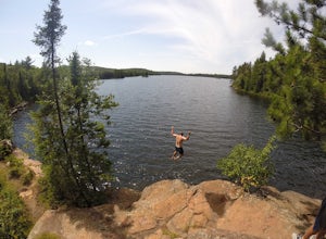
Cliff Jump at Beth Lake in the BWCA
Beth Lake is part of the "Lady Chain" of lakes in the Boundary Waters Canoe Area. It's secluded, serene and worth the trip, especially if you're up for an afternoon of cliff jumping.You can reach Beth Lake in half of a day, assuming you set out in the morning and are efficient with your time. But...Read more -
Marine on Saint Croix, Minnesota
Riverside Trail Loop
5.02.66 mi / 272 ft gainFrom the Visitor Center Parking lot follow the Riverside Trail along the side of the lot and down the main road. You will go under the bridge and while walking next to the road you can see great views of Lake Alice. When you reach the bottom of the hill, turn right to walk alongside the lake. On ...Read more -
Ely, Minnesota
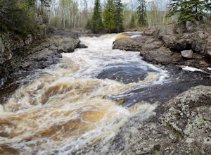
Kawishiwi Falls
4.01 mi / 121 ft gainThe trail to Kawishiwi Falls begins at the parking lot and winds through a wooded trail with minimal elevation gain. There are several different vantage points of the falls that are accessible from the trail (above, below, and from the side). The trail is also part of the portage between Garden a...Read more -
Grand Portage, Minnesota
Hike to the top of Mount Josephine
5.03 mi / 700 ft gainTo get to the trailhead coming from Grand Marais, drive northeast on highway 61 until you come to Grand Portage Village. Turn right onto Store Rd (73) and continue straight until you come to a T (Mile Creek Rd/17). Turn left and continue straight on Upper Rd until you come to a small parking lot ...Read more -
Silver Bay, Minnesota
Hike along the Baptism River to Cascade Falls
1.5 miOnce you pull into the Visitor Center Parking Lot, drive down towards the Baptism River and park before crossing the river. The trailhead is just on the other side of the river. The trail follows the river towards the falls with several small trails down to enjoy the river and rapids at differen...Read more -
Lutsen, Minnesota
Hike to White Sky Rock
5.00.6 mi / 230 ft gainFrom Hwy 61 in Lutsen, you'll turn on Caribou Trail (Hwy 4). You'll drive about 4 miles and turn right for the public boat launch area. There will be a small parking area on your left before the boat launch. This trail is apart of the Superior Hiking Trail. Follow the short little trail up to the...Read more -
Silver Bay, Minnesota
Hike to Fantasia Overlook
3 mi / 170 ft gainGetting to the trailhead:From Hwy. 61, turn left onto Hwy. 1 (at milepost 59.3) and travel 0.8 miles to the Superior Hiking Trail (SHT) parking lot on the left side of the road (very easy to miss!). The Hike:Once you get to the parking lot, cross Hwy. 1 and walk up the road to meet the SHT that c...Read more -
Lynd, Minnesota
Hike the Dakota Valley Trail at Camden State Park
5.02.4 mi / 200 ft gainThe easy 2.4 mile hike follows the route of the Dakota Valley trail. Beginning at the swimming beach, located at the very bottom of the Redwood River Valley, the trail slowly climbs, winding its way through all of the different ecosystems the park has to offer. It summits at an overlook where you...Read more -
Grand Marais, Minnesota
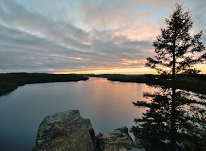
Catch a Sunset at Honeymoon Bluff
5.00.5 mi / 128 ft gainGetting to the trailhead:The trailhead for the Honeymoon Bluff trail is just off of Co 66 (Clearwater Rd) which is 30 miles up the Gunflint Trail. From Grand Marais, turn north on the Gunflint Trail (Co Rd 12) and go about 27 miles until you reach Co 66. Turn right and continue for 3.25 miles to ...Read more -
Tofte, Minnesota
Hike to Britton Peak
0.6 miThis hike is very short and rewarding. It doesn't take longer than 15 minutes if you wanted to make it a quick pit stop before or after you hike Carlton Peak.From Hwy 61 just near Tofte, MN take Sawbill Trail. Go roughly 2.5 miles and the parking lot will be on your right. Once you are on the tra...Read more

