Williamsburg, Michigan
Top Spots in and near Williamsburg
-
Glen Arbor, Michigan
Hike the Ghost Forest Trail and the Dunes of Glen Haven
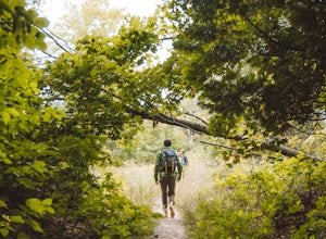
3 miPark your car at the Sleeping Bear Point Trailhead in Glen Haven, Michigan, once parked find your way to the sign for point of reference with the map. You'll find that the Ghost Forest Trail is a 2.8 mile loop. You can start the loop at the trailhead which is near the bathroom, or at the sign whe...Read more -
Glen Arbor, Michigan
Hike the Sleeping Bear Point Trail
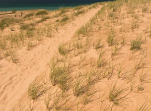
5.02.8 miThe Sleeping Bear Point Trail is a 2.8 mile loop through the sand dunes with amazing views of Lake Michigan and South Manitou Island. There is a 0.5 mile spur hike from the trailhead to the Lake Michigan beach. It is less strenuous than the hike from the Dune Climb to Lake Michigan.Read more -
Empire, Michigan
Sleeping Bear Dunes Overlook
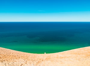
0.26 miLocated along the Pierce Stocking Scenic Drive within Sleeping Bear Dunes National Lakeshore, this lookout towers over Lake Michigan and provides sweeping vistas of the lake and the surrounding lakeshore and peninsula. After parking in the lot, head along the paved path to the overlook. Once the...Read more -
Honor, Michigan
Camp at White Pine Campground
4 mi / 200 ft gainThis is one of the cheapest ways to stay near Sleeping Bear Dunes National Lakeshore overnight. You'll have access to the beach right near your campsite. It's remote enough to be quiet, and it's not a very long hike.There are only 6 campsites available, and they come on a first come, first serve ...Read more -
Mesick, Michigan
Manistee River Trail Loop
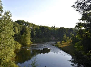
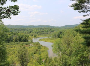
21.69 mi / 2615 ft gainDay 1: Arrive at Seaton Creek Campground and pay for parking for the number of nights you plan on hiking the loop. For this particular trip, I hiked the loop in 2.5 days and 2 nights. Hike 1.4 miles from Seaton Creak Campground to a suspension footbridge on the banks of the Manistee River. At...Read more -
Mesick, Michigan
Backpack the Manistee River Trail
4.017.6 miStarting at the Red Bridge River Access Area just off North Coates Hwy (about 8 miles east of Brethren, Michigan) there is a small parking lot opposite of the trailhead where you can leave your car. The trail is part of the North Country Trail (NCT) so it is well marked with signs leading the way...Read more -
Honor, Michigan
Paddle the Platte River
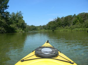
2.0Starting at Riverside Canoe Rentals (located near the intersection of M-22 and Lake Michigan Rd), or the small park across the river, this trip will take you roughly 3 hours to float, but shorter if you are paddling. But beware, starting here will require you to cross a small lake - not very dif...Read more -
Boyne Falls, Michigan
Snowshoe at Boyne Mountain
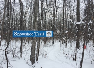
3.1 miThe trailhead for the snowshoe trail is located across the street from the Boyne Cross Country Ski center parking lot. The trail starts out by winding through the woods sandwiched between the Boyne Mountain Resort maintenance facility and a road, so you’ll hear traffic and equipment noise for th...Read more -
Leland, Michigan
North Manitou Island Loop
4.513.55 mi / 1010 ft gainNorth Manitou Island Loop is a loop trail that takes you by a lake located near Maple City, Michigan.Read more -
Charlevoix, Michigan
Camp at Fisherman's Island State Park
0 mi / 0 ft gainLocated just south of Charlevoix is Fisherman's Island State Park. The park offers miles of biking/hiking trails, and campsites directly on the beach of Lake Michigan. Although located just outside of town, there is no service in this area, leaving you completely cut off from the outside world. ...Read more -
Harrietta, Michigan
Manistee River Trail South
4.63 mi / 663 ft gainManistee River Trail South is a point-to-point trail that takes you by a river located near Harrietta, Michigan.Read more -
Frankfort, Michigan
Elberta Dunes South
5.01.59 mi / 335 ft gainElberta Dunes South is a loop trail that takes you through a nice forest located near Elberta, Michigan.Read more -
Frankfort, Michigan
Explore Point Betsie Lighthouse
5.0If you find yourself cruising M22 between Crystal Lake and Lake Michigan, be sure to check out this beautiful lighthouse. Turn off of M22 on to Point Betsie Rd. and follow the curving road all the way to Lake Michigan. There isn't a designated parking lot for the lighthouse, but you can park anyw...Read more -
Roscommon, Michigan
Paddle the Mason Tract
The Mason Tract is a massive protected wilderness area encompassing 4,493 acres. The crystal clear AuSable River runs right through the heart of this forest. On this trip, you will encounter enormous old trees with beautiful remote scenery around each riverbend. Bald eagles and black bears are pl...Read more

