Holyoke, Massachusetts
Top Spots in and near Holyoke
-
Salisbury, Connecticut
Explore Riga Falls
The best part of the adventure is finding this hidden gem also known as Riga Falls. Riga Falls is actually one of Connecticut's lesser known waterfalls, but arguably the most scenic. A helpful hint is that the waterfall lies beside dirt road, keep your ears open! I've already said too much, happy...Read more -
Meriden, Connecticut
Higby Mountain Trail
2.11 mi / 486 ft gainThe popular route for this hike is to park your car at the base of the trail which is located right before merging onto 91-S in Middlefield, CT. The parking lot does seem to get crowded mid-day, especially if the weather is nice! The beginning of the hike is mostly flatter land and an incline w...Read more -
Middletown, Connecticut
Explore Wadsworth Falls
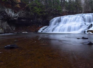
5.00.25 miWhen it comes to exploring Wadsworth Falls its ease of access couldn't be better. As soon as you pull into the parking lot you hear the falls roaring. Take the quick walk to see the picturesque scenery.Facts about Wadsworth Falls:Height: 25ft tall and doubled in width Rock: Hampden Basalt -the ro...Read more -
Franklin, Connecticut
Hike Baileys Ravine at Ayer's Gap Preserve
1.6 mi / 314 ft gainIt's steep and rocky in the beginning but it levels out after a while! When standing in the parking lot, the trailhead is hidden! Look to the right. The trail ends on Ayer's Road so you have to walk back a little ways on the road.Read more -
Sutton, Massachusetts
Hike the Purgatory Chasm Trail
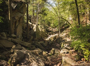
4.71 mi / 115 ft gainFor this 1-mile hike, you can park at the Purgatory Chasm Visitor Center. From there hit the trail and explore the unusual gap between the tall granite walls, which might be adorned with climbers. Great for all ages and dogs are welcome too. The trail is open March-November.Read more -
Meriden, Connecticut
Hike the Metacomet, Blue, and Yellow Loop
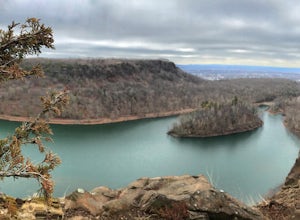
5.04.5 mi / 976 ft gainStart from the Castle Craig road entrance. Walk until you're greeted by a beautiful reservoir. You'll notice the strange but beautiful Mine Island in the middle of all this. You'll also notice markers for White Trails and Yellow Trails. The White Trail is an easier/wider trail. The Yellow Trail C...Read more -
Sharon, Connecticut
Hike the Pine Knob Loop, Housatonic Meadows SP
5.02.5 mi / 770 ft gainThe Pine Knob loop is a 2.5 mile loop trail that takes you through beautiful thick woods filled with vistas, wild flowers and tons of wild life. You will start your adventure at the Pine Knob Trail head where you will be able to a Connecticut Appalachian trail guide. Pine Knob is a blue blaze ...Read more -
Plainfield, Connecticut
Hike Sugar Brook Loop Trail
4.03.3 mi / 200 ft gainSugar Brook Loop Trail is a 3.3 mile loop hike that takes you by a river located near Plainfield, Connecticut.Read more -
Washington, Connecticut
Hike the Mount Tom Tower Trail
1.3 mi / 337 ft gainStarting from the parking lot of Mt. Tom State Park, hop onto the Tower Trail (yellow trail) which leads more into the woods. During winter time, the trail may be slippery, please use your best judgement and always know your limits. Gaining about 300 feet in total elevation in approximately 1 mil...Read more -
Clinton, Massachusetts
Watch a Sunset at Wachusett Reservoir
4.5Wachusett Reservoir is located in central Massachusetts, northeast of Worcester. Easy location and parking, you can go anytime of the day and you won't be disappointed. The Reservoir is the second largest body of water in the State of Massachusetts, taking place in 5 cities around the area, West ...Read more -
Ashburnham, Massachusetts
Summit Mount Watatic via the Wapack Trail
5.03 mi / 800 ft gainEntering Mount Watatic in your GPS will take you to Rindge State Road (119), continue about two minutes down the road past where the GPS tells you. on the Right hand side you will will see a sign for Mount Watatic Parking area or just enter in coordinates: 42.696796, -71.904521 You will begin the...Read more

