Holyoke, Massachusetts
Looking for the best hiking in Holyoke? We've got you covered with the top trails, trips, hiking, backpacking, camping and more around Holyoke. The detailed guides, photos, and reviews are all submitted by the Outbound community.
Top Hiking Spots in and near Holyoke
-
Holyoke, Massachusetts
Whiting Street Reservoir Loop
3.74 mi / 138 ft gainWhiting Street Reservoir Loop is a loop trail that takes you by a lake located near Holyoke, Massachusetts.Read more -
Hampden, Massachusetts
Goat Rock Trail
2.67 mi / 659 ft gainGoat Rock Trail is an out-and-back trail where you may see beautiful wildflowers located near Hampden, Massachusetts.Read more -
Deerfield, Massachusetts
South Sugarloaf Trail
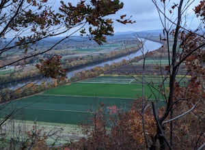
1.48 mi / 404 ft gainSouth Sugarloaf Trail is a loop trail that takes you by a river located near South Deerfield, Massachusetts.Read more -
Granby, Connecticut
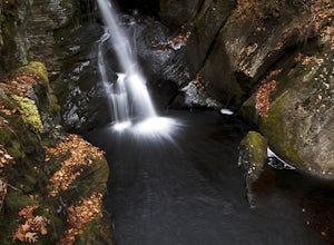
Hiking Enders Falls
4.0Enders State Forest sprawls over approximately 2000 acres, and is found within the towns of Granby and Barkhamsted in Connecticut. Enders has a good sized parking lot directly on Route 219. From the junction of Route 219 and Route 20, visitors will proceed west on Route 219 for 1.2 miles and tu...Read more -
Simsbury, Connecticut
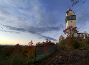
Hike to the Heublein Tower on Talcott Mountain
4.32.54 mi / 404 ft gainThe Heublien Tower Trail, located just inside the Talcott Mountain State Park entrance off of Route 185 in Simsbury CT, is a short 1.25 miles. While the hike isn't long, the first 1/3 of a mile is a steep incline that will get your heart pumping. The trail itself it very well kept, and although ...Read more -
Erving, Massachusetts
Rattlesnake Loop to Red Trail
1.97 mi / 676 ft gainRattlesnake Loop to Red Trail is a loop trail that provides a good opportunity to view wildlife located near Erving, Massachusetts.Read more -
Norfolk, Connecticut
Hike to Campbell Falls
4.01.4 mi / 187 ft gainCampbell Falls, one of the most beautiful parks in CT. Don't let the size of the park fool you, that's what adds to the beauty. With it's strong pine and fresh flower scented woods you slowly forget that you're even in Connecticut. The trails aren't labeled the greatest but still can be made out....Read more -
Great Barrington, Massachusetts
Mt. Wilcox and Beartown Mountain Trail Loop
5.09.29 mi / 981 ft gainMt. Wilcox and Beartown Mountain Trail Loop is a loop trail that takes you by the lake located near Great Barrington, Massachusetts.Read more -
Savoy, Massachusetts
Tannery Falls Loop
0.54 mi / 135 ft gainThe hike to Tannery Falls may be a little confusing, I'll clear it up for you before you even go there! To get to The falls you will travel down a dirt road that isn't very well maintained during the winter. As you keep driving down the dirt road you will notice a pond , which means you are almos...Read more -
Stockbridge, Massachusetts
Laura's Tower and Ice Glen
5.02.4 mi / 676 ft gainYou will park at the end of Park Street in Stockbridge, Massachusetts. From the parking are you will cross a beautiful bridge over the Housatonic River. The trail crosses railroad tracks and immediately begins to climb into the woods. You will reach a split in the trail, a left will take you...Read more -
Glastonbury, Connecticut
Blackledge Falls
4.01.46 mi / 207 ft gainAlthough the park contains hiking trails, a pond and a streambelt, the primary draw of this parcel of land is the 25 foot waterfall. The falls flow varies depending on the volume of precipitation, from a trickle in the dry months to a three-pronged vertical drop after some consistent snow melt or...Read more -
Mansfield, Connecticut
Hike Nipmuck Trail
5.08.3 mi / 748 ft gainNipmuck Trail is a 8.3 mile out and back hike that takes you past wildlife located near Mansfield Center, Connecticut.Read more -
Great Barrington, Massachusetts
Hike Monument Mountain
4.02 mi / 720 ft gainAt 1642 feet (with a total elevation gain of 720 feet), Squaw Peak is a great spot to see both Mt Greylock along the Vermont border, and the Catskills in New York. There are several trail options here to get to the summit, but no matter which combination you choose, you can keep your trip under ...Read more -
Glastonbury, Connecticut
Hike the Cotton Hollow Nature Preserve
5.03 miThere are two parking locations for Cotton Hollow, the location tagged in the directions is the shortest hike to the old gun powder mill. Suggestions when it comes to exploring the preserve are to stay on the trails, know your limits, and enjoy! There are swimming holes along the river, but swim ...Read more -
Chaplin, Connecticut
Hike to Diana's Pool
4.01.3 mi / 45 ft gainThe drive to Diana's Pool is worth it in an of itself, taking you through the backroads of Eastern Connecticut. To begin the hike just simply enter the woodland path and follow the trail. In order to go under the bridge just simply take the first left in the path and there will be a stream that f...Read more -
Southington, Connecticut
Hike the Crescent Lake & Metacomet Trail Loop
4.02.4 mi / 269 ft gainThe hike to view Crescent Lake is peaceful. You can either walk through the woods where you will be blessed with natures finest birds and wildlife or you can take the trail along the lake edge. Both are similar distances and lead to the same hill at the end! Once you get to the top take a left on...Read more

