Holyoke, Massachusetts
Top Spots in and near Holyoke
-
Chaplin, Connecticut
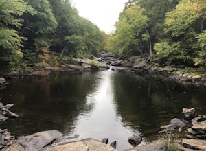
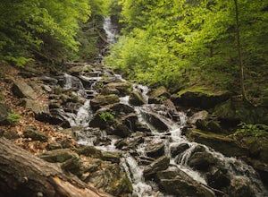
Hike to Diana's Pool
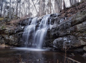
4.01.3 mi / 45 ft gainThe drive to Diana's Pool is worth it in an of itself, taking you through the backroads of Eastern Connecticut. To begin the hike just simply enter the woodland path and follow the trail. In order to go under the bridge just simply take the first left in the path and there will be a stream that f...Read more -
Southington, Connecticut
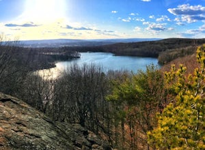
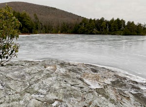
Hike the Crescent Lake & Metacomet Trail Loop
4.02.4 mi / 269 ft gainThe hike to view Crescent Lake is peaceful. You can either walk through the woods where you will be blessed with natures finest birds and wildlife or you can take the trail along the lake edge. Both are similar distances and lead to the same hill at the end! Once you get to the top take a left on...Read more -
Berlin, Connecticut
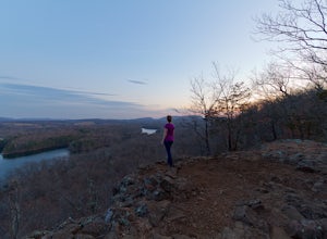
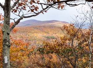
Hike the Ragged Mountain Memorial Preserve
4.55.5 mi / 560 ft gainRagged Mountain main loop is approximately 5.5 miles long, and is known for its expansive bare-rock vistas, vertical cliff faces, and scenic views overlooking cliff-side reservoirs and ponds. The trail is rated moderate, with some flat stretches among the trees, mixed with some uneven rocky foot...Read more -
Westminster, Massachusetts
Summit Mt. Wachusett via the West Side Trail
5.01.2 mi / 750 ft gainSet your GPS to Wachusett Mountain ski area. Coming from Rt. 2 turn onto Mile Hill Rd and look for your first right to take Bolton Rd. Take this road all the way until it intersects with West Princeton Rd. Turn left. and drive down W Princeton Rd for 1.2 miles and there should be a small parkin...Read more -
Sheffield, Massachusetts
Hike to Race Brook Falls
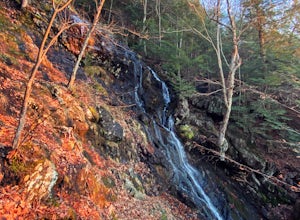
4.03.4 mi / 1174 ft gainHiking along the Appalachian trail I made a detour in Mt Everett State reservation. About a 2.5 mile detour lead me down to a beautiful 100ft waterfall called Race Brook falls. The waterfall felt made me feel like i was in the tropical jungle in Hawaii. Adding to the beauty of the waterfall were ...Read more -
Williamstown, Massachusetts
Hike the March Cataract Falls Trail
4.02.2 mi / 511 ft gainPark at the Junction of Sperry Rd and Rockwell Rd. To get to the trailhead, hike along Sperry Road for about 30 minutes. (Not to the end of the road, see map below.) Then hike along the March Cataract Trail, an out-and-back. You can bring dogs on leash. The trail is short but steep in some parts ...Read more -
Canaan, Connecticut
Explore Great Falls
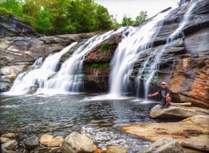
3.00.5 miStumbled upon Great Falls in the Falls Village section of Canaan, CT. The stunning 50ft waterfall doesn't disappoint. very easy hike from parking lot, you must cross the river in order to get close for bottom view. Hop on top of turtle rock and relax as the waterfall tumbles in the distance.Read more -
Southington, Connecticut
Rock Climb Ragged Mountain
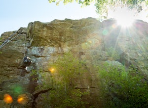
The main face of Ragged Mountain (elev. 761 feet) is home to a lot climbing in central Connecticut. It runs north-south for about 600 feet. Its max height of 100 feet. The crag is home to several rock climbing guides and schools. Routes range in difficultly from great for the beginner (5.3) to su...Read more -
Williamstown, Massachusetts
Hike Mt. Greylock via Money Brook Trail
9.7 mi / 3034 ft gainPark in the parking lot on Hopper Rd. Walk to the end of the road where you will find the Hopper Trailhead. Take the right fork. The Money Brook trail will take you to a waterfall, the Mt. Greylock summit, and back to the end of Hopper Rd. The trail is long but worth the hike, exploring parts of ...Read more -
Mount Washington, Massachusetts
Guilder Pond and Mount Washington Lookout Trail
3.92 mi / 909 ft gainGuilder Pond and Mount Washington Lookout Trail is a loop trail that takes you by the lake located near Copake Falls, New York.Read more -
Salisbury, Connecticut
Bear Mountain Loop
4.56.05 mi / 1516 ft gainAt 2,316 feet, Bear Mountain is the highest peak in Connecticut. The peak is about a half-mile south of the Massachusetts state line on the Appalachian Trail. The views are great. On a clear day you can see some of the peaks in southern New Hampshire. The remnants of a stone tower are on the summ...Read more -
Litchfield, Connecticut
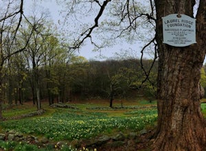
Photograph Daffodils at Laurel Ridge
Laurel Ridge is a private owned Farm , the owners are generous enough to let people visit these flowers so please be respectful of there rules. You may see the Daffodils from Sunrise-Sunset and usually fully bloomed Early April-May. Laurel Ridge is the perfect way to start Spring, the smell and ...Read more -
Middlesex County, Connecticut
Hike to Glen Falls
5.00.75 miAccessing Glen Falls may be a little tricky at first. Parking will be very minimal, you will park on Grist Mill Ln. Hop onto the road and you will see the trail map on the left side. The adventure begins when you cross the street and go through the gate with the yellow blaze symbol. Keep followin...Read more -
Mount Washington, Massachusetts
Mount Frissell and Brace Mountain Loop Trail
5.08 mi / 807 ft gainMount Frissell and Brace Mountain Loop Trail is a loop trail where you may see beautiful wildflowers located near South Egremont, Massachusetts.Read more -
Douglas, Massachusetts
Hike the Coffeehouse Loop, Douglas State Forest
3.02.2 mi / 500 ft gainDouglas State Forest is located off of Rte 16 in south central Massachusetts. To access trails and the lake, head to the parking area on Wallum Lake Park Road. From the parking lot, you can access the Coffeehouse Loop Trail, as well as a few other shorter trails by the lake. The Coffeehouse Loop ...Read more -
Mount Washington, Massachusetts
Explore Bash Bish Falls
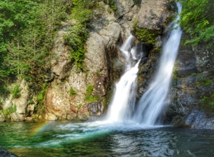
4.21 miOne of my favorite walks to a spectacular falls. The trail is easy to follow and one mile from NY parking lot and 0.5 from the parking lot. The apparent place to swim. There are several very nice, family safe swimmable pools in the creek above and after the falls. There are signs at the top of t...Read more

