Concord, Massachusetts
Top Spots in and near Concord
-
Douglas, Massachusetts
Hike the Coffeehouse Loop, Douglas State Forest
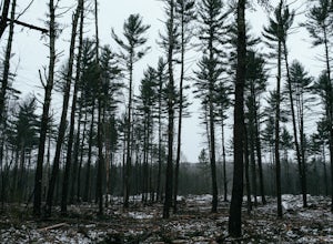
3.02.2 mi / 500 ft gainDouglas State Forest is located off of Rte 16 in south central Massachusetts. To access trails and the lake, head to the parking area on Wallum Lake Park Road. From the parking lot, you can access the Coffeehouse Loop Trail, as well as a few other shorter trails by the lake. The Coffeehouse Loop ...Read more -
Hanson, Massachusetts
Burrage Pond Indian Trail
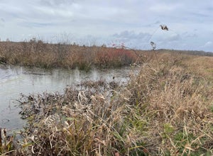
5.03.39 mi / 194 ft gainBurrage Pond Indian Trail is an out-and-back trail where you may see beautiful wildflowers located near Hanson, Massachusetts.Read more -
Temple, New Hampshire
Hike the North & South Peaks of Pack Monadnock
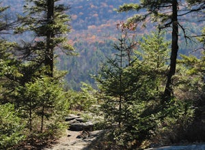
5.08.3 mi / 2290 ft gainThis route will take you to both peaks and on most of the trails in this section of the park! Take the Wapack Trail (1.4 miles, rocky, challenging) to the summit of South Pack (2290') and climb the fire tower for some incredible views! On a clear day, you can see the Boston skyline. Then continue...Read more -
Temple, New Hampshire
Hiking Pack Monadnock at Miller State Park
4.02.8 miMiller State Park is the oldest State park in New Hampshire and offers the perfect spring, summer or fall hike. From the parking area, visitors can choose from one of three trails: The Marion Davis Trail (1.4 miles to peak), The Wapack Trail (1.4 miles to peak) or the Auto-road (~ 1.0 miles to pe...Read more -
Taunton, Massachusetts
Kayak Lake Rico
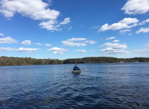
4.3Lake Rico is a decent sized lake located in East Taunton, MA. You can spend hours out kayaking and exploring. From the parking lot the lake looks pretty small but there is an opening towards the back that leads into three larger sections. There is also an island in the back that is great for sett...Read more -
Providence, Rhode Island
Neutaconkanut Loop
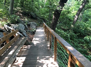
5.01.49 mi / 171 ft gainTo enter the park, you first have to go through a field and past a baseball park. Next, you will see a high slope, you can either enter the trails through here or the stairs at the side. Some of the trails are overgrown and may have ticks or poison ivy so be careful. This place is good for kids a...Read more -
Jaffrey, New Hampshire
Mount Monadnock via White Dot & White Cross Loop
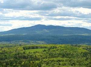
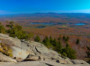
4.53.7 mi / 1686 ft gainThe White Dot Trail is the shortest, steepest ascent to the summit, while White Cross has a slightly easier grade down with very little difference in distance. Therefore, per the park's rangers, the best way to conquer this loop is White Dot up, White Cross down.The White Dot Trail begins at Mon...Read more -
Jaffrey, New Hampshire
Mount Monadnock via White Dot Trail
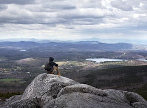
4.43.46 mi / 1699 ft gainMonadnock State Park is located in and around the 3,165-ft. Mount Monadnock. Mount Monadnock is crisscrossed by many miles of well-maintained hiking trails. The popular White Dot Trail (2.2 miles) is the shortest but steepest ascent to the summit, accessible from the Monadnock State Park headquar...Read more -
Jaffrey, New Hampshire
Hike MT Monadnock via White Arrow Trail
4.3 mi / 1485 ft gainArriving at the Old Toll Road/Halfway House Trail head you will have $5 entrance fee. Starting on the Old Toll road you'll find yourself walking on a gradual incline into the beautiful New Hampshire wilderness. Everything you see and smell is fresh and vibrant. Following the road for 1.1 miles yo...Read more -
Jaffrey, New Hampshire
Summit Mt. Monadnock via Marlboro Trail
5.04 mi / 2300 ft gainStart at the Marlboro Trailhead (you can enter this in Google maps) off Shaker Road. There's parking and porta-potty bathrooms. The trail is well-marked with white dashes/M marks all the way up. Once on trail, the initial 800 ft climb is through forested terrain with a few brooks and streams alon...Read more

