Amherst, Massachusetts
Looking for the best hiking in Amherst? We've got you covered with the top trails, trips, hiking, backpacking, camping and more around Amherst. The detailed guides, photos, and reviews are all submitted by the Outbound community.
Top Hiking Spots in and near Amherst
-
Mansfield, Connecticut
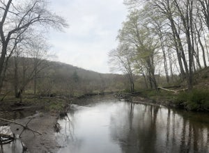
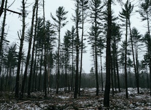
Hike Nipmuck Trail
5.08.3 mi / 748 ft gainNipmuck Trail is a 8.3 mile out and back hike that takes you past wildlife located near Mansfield Center, Connecticut.Read more -
Williamstown, Massachusetts
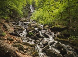
Hike Mt. Greylock via Money Brook Trail
9.7 mi / 3034 ft gainPark in the parking lot on Hopper Rd. Walk to the end of the road where you will find the Hopper Trailhead. Take the right fork. The Money Brook trail will take you to a waterfall, the Mt. Greylock summit, and back to the end of Hopper Rd. The trail is long but worth the hike, exploring parts of ...Read more -
Norfolk, Connecticut
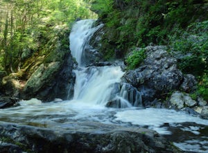
Hike to Campbell Falls
4.01.4 mi / 187 ft gainCampbell Falls, one of the most beautiful parks in CT. Don't let the size of the park fool you, that's what adds to the beauty. With it's strong pine and fresh flower scented woods you slowly forget that you're even in Connecticut. The trails aren't labeled the greatest but still can be made out....Read more -
Sutton, Massachusetts
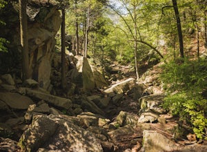
Hike the Purgatory Chasm Trail
4.71 mi / 115 ft gainFor this 1-mile hike, you can park at the Purgatory Chasm Visitor Center. From there hit the trail and explore the unusual gap between the tall granite walls, which might be adorned with climbers. Great for all ages and dogs are welcome too. The trail is open March-November.Read more -
Chaplin, Connecticut
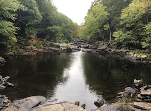
Hike to Diana's Pool
4.01.3 mi / 45 ft gainThe drive to Diana's Pool is worth it in an of itself, taking you through the backroads of Eastern Connecticut. To begin the hike just simply enter the woodland path and follow the trail. In order to go under the bridge just simply take the first left in the path and there will be a stream that f...Read more -
Douglas, Massachusetts
Hike the Coffeehouse Loop, Douglas State Forest
3.02.2 mi / 500 ft gainDouglas State Forest is located off of Rte 16 in south central Massachusetts. To access trails and the lake, head to the parking area on Wallum Lake Park Road. From the parking lot, you can access the Coffeehouse Loop Trail, as well as a few other shorter trails by the lake. The Coffeehouse Loop ...Read more -
Great Barrington, Massachusetts
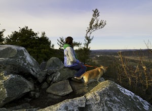
Hike Monument Mountain
4.02 mi / 720 ft gainAt 1642 feet (with a total elevation gain of 720 feet), Squaw Peak is a great spot to see both Mt Greylock along the Vermont border, and the Catskills in New York. There are several trail options here to get to the summit, but no matter which combination you choose, you can keep your trip under ...Read more -
Glastonbury, Connecticut
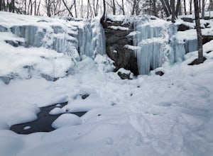
Blackledge Falls
4.01.46 mi / 207 ft gainAlthough the park contains hiking trails, a pond and a streambelt, the primary draw of this parcel of land is the 25 foot waterfall. The falls flow varies depending on the volume of precipitation, from a trickle in the dry months to a three-pronged vertical drop after some consistent snow melt or...Read more -
Harvard, Massachusetts
Hike along the Nashua River and the Oxbow National Wildlife Refuge
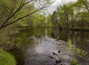
9.5 mi / 0 ft gainPark in the lot on Tank Road to access the Nashua River Trail. Keep your eyes peeled for turtles, chipmunks, birds, and other wildlife! This trail is open from April to October. The trail can become flooded and muddy after a rain/ snow, so for a shorter alternative to the 9.5 miles, you can take...Read more -
Glastonbury, Connecticut
Hike the Cotton Hollow Nature Preserve
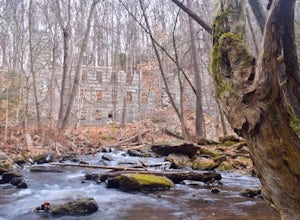
5.03 miThere are two parking locations for Cotton Hollow, the location tagged in the directions is the shortest hike to the old gun powder mill. Suggestions when it comes to exploring the preserve are to stay on the trails, know your limits, and enjoy! There are swimming holes along the river, but swim ...Read more -
Woodford, Vermont
Woodford State Park Loop
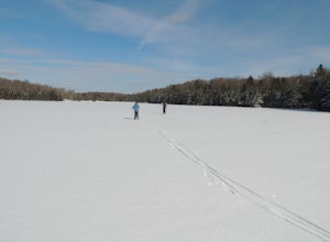
2.41 mi / 203 ft gainA great loop for the summer, Woodford is also amazing when winter winter comes to the State Park. It also comes earlier than just about anywhere else in Southern Vermont. At 2,400 feet above sea level, this is an easy spot to find winter without spending a fortune at the local ski resorts. Woodfo...Read more -
Temple, New Hampshire
Hike the North & South Peaks of Pack Monadnock
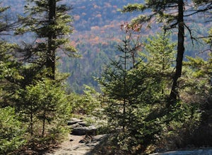
5.08.3 mi / 2290 ft gainThis route will take you to both peaks and on most of the trails in this section of the park! Take the Wapack Trail (1.4 miles, rocky, challenging) to the summit of South Pack (2290') and climb the fire tower for some incredible views! On a clear day, you can see the Boston skyline. Then continue...Read more -
Temple, New Hampshire
Hiking Pack Monadnock at Miller State Park
4.02.8 miMiller State Park is the oldest State park in New Hampshire and offers the perfect spring, summer or fall hike. From the parking area, visitors can choose from one of three trails: The Marion Davis Trail (1.4 miles to peak), The Wapack Trail (1.4 miles to peak) or the Auto-road (~ 1.0 miles to pe...Read more -
Sheffield, Massachusetts
Hike to Race Brook Falls
4.03.4 mi / 1174 ft gainHiking along the Appalachian trail I made a detour in Mt Everett State reservation. About a 2.5 mile detour lead me down to a beautiful 100ft waterfall called Race Brook falls. The waterfall felt made me feel like i was in the tropical jungle in Hawaii. Adding to the beauty of the waterfall were ...Read more

