Amherst, Massachusetts
Looking for the best hiking in Amherst? We've got you covered with the top trails, trips, hiking, backpacking, camping and more around Amherst. The detailed guides, photos, and reviews are all submitted by the Outbound community.
Top Hiking Spots in and near Amherst
-
Holyoke, Massachusetts
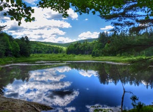
Whiting Street Reservoir Loop
3.74 mi / 138 ft gainWhiting Street Reservoir Loop is a loop trail that takes you by a lake located near Holyoke, Massachusetts.Read more -
Deerfield, Massachusetts
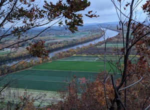
South Sugarloaf Trail
1.48 mi / 404 ft gainSouth Sugarloaf Trail is a loop trail that takes you by a river located near South Deerfield, Massachusetts.Read more -
Erving, Massachusetts
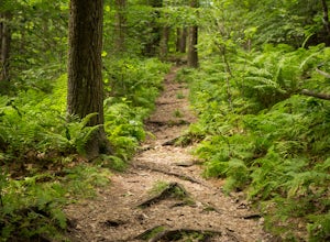
Rattlesnake Loop to Red Trail
1.97 mi / 676 ft gainRattlesnake Loop to Red Trail is a loop trail that provides a good opportunity to view wildlife located near Erving, Massachusetts.Read more -
Hampden, Massachusetts
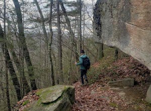
Goat Rock Trail
2.67 mi / 659 ft gainGoat Rock Trail is an out-and-back trail where you may see beautiful wildflowers located near Hampden, Massachusetts.Read more -
Westminster, Massachusetts
Summit Mt. Wachusett via the West Side Trail
5.01.2 mi / 750 ft gainSet your GPS to Wachusett Mountain ski area. Coming from Rt. 2 turn onto Mile Hill Rd and look for your first right to take Bolton Rd. Take this road all the way until it intersects with West Princeton Rd. Turn left. and drive down W Princeton Rd for 1.2 miles and there should be a small parkin...Read more -
Savoy, Massachusetts
Tannery Falls Loop
0.54 mi / 135 ft gainThe hike to Tannery Falls may be a little confusing, I'll clear it up for you before you even go there! To get to The falls you will travel down a dirt road that isn't very well maintained during the winter. As you keep driving down the dirt road you will notice a pond , which means you are almos...Read more -
Granby, Connecticut
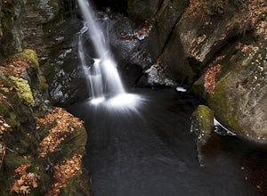
Hiking Enders Falls
4.0Enders State Forest sprawls over approximately 2000 acres, and is found within the towns of Granby and Barkhamsted in Connecticut. Enders has a good sized parking lot directly on Route 219. From the junction of Route 219 and Route 20, visitors will proceed west on Route 219 for 1.2 miles and tu...Read more -
Simsbury, Connecticut
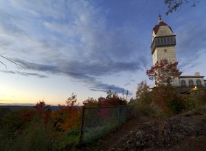
Hike to the Heublein Tower on Talcott Mountain
4.32.54 mi / 404 ft gainThe Heublien Tower Trail, located just inside the Talcott Mountain State Park entrance off of Route 185 in Simsbury CT, is a short 1.25 miles. While the hike isn't long, the first 1/3 of a mile is a steep incline that will get your heart pumping. The trail itself it very well kept, and although ...Read more -
Ashburnham, Massachusetts
Summit Mount Watatic via the Wapack Trail
5.03 mi / 800 ft gainEntering Mount Watatic in your GPS will take you to Rindge State Road (119), continue about two minutes down the road past where the GPS tells you. on the Right hand side you will will see a sign for Mount Watatic Parking area or just enter in coordinates: 42.696796, -71.904521 You will begin the...Read more -
Jaffrey, New Hampshire
Hike MT Monadnock via White Arrow Trail
4.3 mi / 1485 ft gainArriving at the Old Toll Road/Halfway House Trail head you will have $5 entrance fee. Starting on the Old Toll road you'll find yourself walking on a gradual incline into the beautiful New Hampshire wilderness. Everything you see and smell is fresh and vibrant. Following the road for 1.1 miles yo...Read more -
Williamstown, Massachusetts
Hike the March Cataract Falls Trail
4.02.2 mi / 511 ft gainPark at the Junction of Sperry Rd and Rockwell Rd. To get to the trailhead, hike along Sperry Road for about 30 minutes. (Not to the end of the road, see map below.) Then hike along the March Cataract Trail, an out-and-back. You can bring dogs on leash. The trail is short but steep in some parts ...Read more -
Jaffrey, New Hampshire
Mount Monadnock via White Dot & White Cross Loop
4.53.7 mi / 1686 ft gainThe White Dot Trail is the shortest, steepest ascent to the summit, while White Cross has a slightly easier grade down with very little difference in distance. Therefore, per the park's rangers, the best way to conquer this loop is White Dot up, White Cross down.The White Dot Trail begins at Mon...Read more -
Jaffrey, New Hampshire
Mount Monadnock via White Dot Trail
4.43.46 mi / 1699 ft gainMonadnock State Park is located in and around the 3,165-ft. Mount Monadnock. Mount Monadnock is crisscrossed by many miles of well-maintained hiking trails. The popular White Dot Trail (2.2 miles) is the shortest but steepest ascent to the summit, accessible from the Monadnock State Park headquar...Read more -
Jaffrey, New Hampshire
Summit Mt. Monadnock via Marlboro Trail
5.04 mi / 2300 ft gainStart at the Marlboro Trailhead (you can enter this in Google maps) off Shaker Road. There's parking and porta-potty bathrooms. The trail is well-marked with white dashes/M marks all the way up. Once on trail, the initial 800 ft climb is through forested terrain with a few brooks and streams alon...Read more -
Stockbridge, Massachusetts
Laura's Tower and Ice Glen
5.02.4 mi / 676 ft gainYou will park at the end of Park Street in Stockbridge, Massachusetts. From the parking are you will cross a beautiful bridge over the Housatonic River. The trail crosses railroad tracks and immediately begins to climb into the woods. You will reach a split in the trail, a left will take you...Read more -
Great Barrington, Massachusetts
Mt. Wilcox and Beartown Mountain Trail Loop
5.09.29 mi / 981 ft gainMt. Wilcox and Beartown Mountain Trail Loop is a loop trail that takes you by the lake located near Great Barrington, Massachusetts.Read more

