Strunk, Kentucky
Looking for the best running in Strunk? We've got you covered with the top trails, trips, hiking, backpacking, camping and more around Strunk. The detailed guides, photos, and reviews are all submitted by the Outbound community.
Top Running Spots in and near Strunk
-
Jamestown, Tennessee
Rock Creek Loop
6.76 mi / 1043 ft gainRock Creek Loop is a loop trail that takes you by a river located near Oneida, Tennessee.Read more -
Jamestown, Tennessee
Natural Bridge Loop
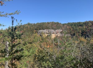
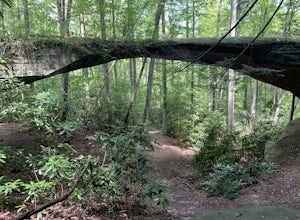
1.05 mi / 148 ft gainThis trail is located in Pickett State Park which is a close neighbor to Big South Fork National Recreation Area. This is one of the many trailheads that connect to the Natural Bridge loop however, this trailhead is the closest to the natural bridge. From the road it is only a few hundred feet wa...Read more -
Jamestown, Tennessee
Hazard Cave and Natural Bridge Trail
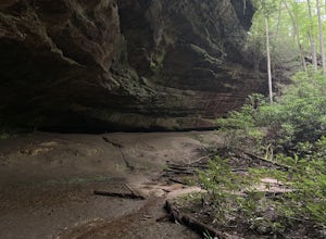
2.33 mi / 240 ft gainHazard Cave and Natural Bridge Trail is a loop trail combining two of the major attractions of Pickett CCC Memorial State Park located near Jamestown, Tennessee. This hike is about two and a third miles, with 240 feet of elevation gain. It will take a little over an hour to complete the loop if y...Read more -
Jamestown, Tennessee
Hike to Indian Rockhouse
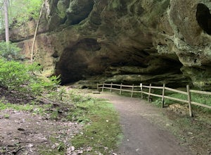
0.4 mi / 65 ft gainThis hike is a great, short hike for all ages. It shows the sandstone formation of the area very well and features a large cliff, an overhang, and a small stream at the bottom. The hike is only 0.4 of a mile total and has a small elevation change. It is probably the easiest hike in this area. Th...Read more -
Andersonville, Tennessee
Norris Dam State Park Campground Trail
14.6 mi / 2310 ft gainNorris Dam State Park Campground Trail is a loop trail that takes you by a lake located near Rocky Top, Tennessee.Read more -
Knoxville, Tennessee
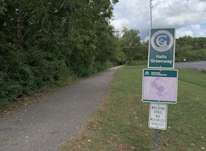
Bike or Run the Halls Greenway
2 miThis place is located right in the middle of Halls Crossroads. There are multiple access points along the Greenway. There is the Halls Community Center which is where the GPS of this adventure will lead you or there is a small parking area next to the Halls Food City. There are other entrances fr...Read more -
Knoxville, Tennessee
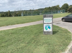
Strechi Hills Greenway
4.2 mi / 0 ft gainThis greeway is located in north Knoxville near the Sterchi Hills neighborhood. The greenway is 2.1 miles one way so it can make for a good run through the woods. All of the greenway is paved and most of it is under tree cover so it is shaded most of the time. This is a great trail to see birds a...Read more -
Knoxville, Tennessee
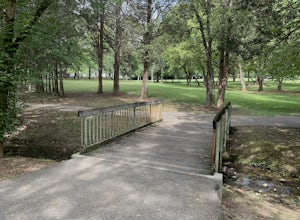
Adair Park
1.5 miThis Urban park is located in North Knoxville. The park is only a few minutes from downtown Knoxville. This park is small but offers a nice wilderness in the city. There is a lot of wildlife at this park. The park has many hiking/biking trails through the park. In total there is 1.5 miles of gree...Read more

