Grayson, Kentucky
Top Spots in and near Grayson
-
Olive Hill, Kentucky
Hike to Lick Falls
5.03 miThe Grayson Lake State Park has two trails – the Lick Falls Loop Trail, and the 0.8 mile Beech-Hemlock Forest Trail. Lick Falls is best done after a rain, to make sure the falls are flowing. A trail map of the park can be found here.Read more -
Garrison, Kentucky
Paddle Kinniconick Creek
For information on put-in locations, mileage, gauge readings, and fishing refer to the Kentucky Department of Fish and Wildlife's website: http://fw.ky.gov/Fish/Pages/Ki... Make sure to check the gauge levels before putting in to ensure a proper water depth. If you have two vehicles, it is ideal...Read more -
1091-1111 Elklick Road, Kentucky
Hike to Hickory Flats Firetower
5.01.2 mi / 435 ft gainTo find the starting point navigate straight to the marker pin. At the end of the paved road, a gravel road will start. Just a couple hundred feet up the gravel road on the left there is a gate. Park infront of the gate (not in the road). Vehicles are not permitted but the Daniel Boone National F...Read more -
Huntington, West Virginia
Hike Overlook Trail
4.01.4 mi / 250 ft gainLocated about 30 minutes from Huntington, the Overlook Trail gives hikers an overlooking view within Beech Fork State Park. Maps and brochures can be obtained at the park entrance. Admission is free. Upon entering the park, the trailhead is located in the first lot on your right. This trail is on...Read more -
Salt Lick, Kentucky
Hike Caney Loop Trail at Cave Run Lake
8.8 mi / 1047 ft gainStarting at the Stoney Cove Trailhead, take the trail to the left. This trail was previously marked as trail #1226. However, after the Sheltowee Trace Trail #100 was rerouted, they now run together. Therefore, the trail is very well marked by a white diamond with a turtle, signifying the Sheltowe...Read more -
Salt Lick, Kentucky
Hike to Tater Knob Fire Tower
1 mi / 200 ft gainStarting at the trailhead hikers will follow a clearly marked trail for 0.5 miles. The trail gains elevation quickly and can be strenuous. The tower is currently closed due to arson damage and is one of the few remaining in the Daniel Boone National Forest. However, the 35 foot steel structure is...Read more -
West Union, Ohio
Hike the Buzzard Roost Trail
4.4 mi / 450 ft gainOwned and operated by The Nature Conservancy, Ohio's Edge of Appalachia Preserve is home to over 19,000 acres of protected wilderness and rugged Appalachian terrain. And the greatest prize of the preserve is none other than the Buzzards Roost.Perched atop a slab of resistant limestone roughly 500...Read more -
Vanceburg, Kentucky
Hike the Joyce Bender Trail in the Crooked Creek Nature Preserve
1.35 mi / 200 ft gainThe Crooked Creek Nature Preserve features many unique and rare plant species including an oak barrens community, oak-hickory forest, and prairie species such as: Big Bluestem, Little Bluestem and Prairie Dock. In addition to these species are five rare plant species including: Starry False Solom...Read more -
West Union, Ohio
Hike the Joan Jones Portman Trail
1.6 mi / 405 ft gainLocated right off the road next to an old shed, across the road from the main pavilion and barn, the trailhead for the Joan Jones Portman Trail winds upwards 0.8 miles one way across a creek and through a narrow section of prairie clinging to the hillsides of Southern Ohio. This is one of the ste...Read more -
Wellington, Kentucky
Rock Climb Foxfire at the Red River Gorge
Directions to Eagle Point Buttress from the Shell gas Station.Head west on KY-15 for 1.6 miles then turn left onto KY 77. Stay on KY-77 for 5.1 miles. While you are on this road you will go through a oneway tunnel so be careful of cars coming out from the other side. Once you cross a bridge over ...Read more -
Sky Bridge Loop - Trail #214, Kentucky
Hike Sky Bridge Loop
0.9 mi / 300 ft gainThe trailhead parking lot is located just off of KY 715. If coming from the North you will cross the Red River at Osborne Bend and continue up the steep hill until the very top. The parking lot access road is in a hairpin curve at the top of the hill. It is marked very well with signs so it is ve...Read more
Top Activities
Camping and Lodging in Grayson
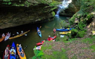
Grayson, Kentucky
Grayson Lake Damsite Shelters
Overview
Grayson Lake Dam Site Shelters are just seven miles south of Grayson, Kentucky on state Route 7 on Grayson Lake. Recreational ac...
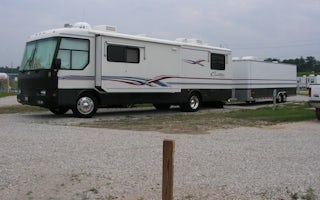
Grayson, Kentucky
Ashland / Huntington West KOA Holiday
Check out this beautiful campground in the northeast corner of Kentucky. It's less than 1 mile from I-64 with easy-on/easy-off access. Th...
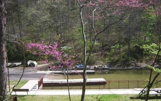
Pedro, Ohio
Lake Vesuvius Recreation Area
Overview
Lake Vesuvius Recreation Area, named for the old Vesuvius iron furnace, is the Wayne National Forest's premier developed recreat...
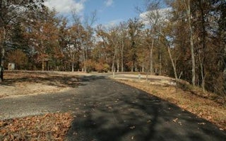
Pedro, Ohio
Oak Hill Lake Vesuvius
Overview
Oak Hill Campground is one of two camping areas within Lake Vesuvius Recreation Area. It has recently renovated and upgraded wit...
Pedro, Ohio
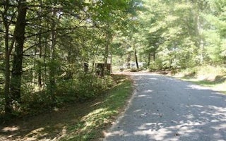
Iron Ridge Lake Vesuvius
Overview
Iron Ridge is one of two campgrounds in the Vesuvius Recreation Area in southeastern Ohio's Wayne National Forest. Iron Ridge of...
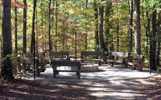
Clearfield, Kentucky
Boat Gunnel Group Campground
Overview
Boat Gunnel Group Campground is located in the Daniel Boone National Forest on Cave Run Lake. Widely known for its scenic beaut...


