Bowling Green, Kentucky
Top Spots in and near Bowling Green
-
Bowling Green, Kentucky
Visit Lost River Cave
4.51.1 mi / 110 ft gainIn the last 200 years, Lost River Cave has been used as a site for mills, a camp for Civil War soldiers, and a nightclub. Its history goes back many years before that—thousands in fact. Prehistoric nomadic Native American tribes used the cave for shelter and water as they hunted this valley. The ...Read more -
Brownsville, Kentucky
Hike the Cedar Sink Trail
5.01.6 mi / 333 ft gainStarting at the parking lot off of National Park Boundary Road, you will follow the marked sign on the path until you hit a set of metal stairs heading downward. Take the stairs to the bottom and take the first left on the trail to the observation deck that overlooks the Cedar Spring.A map of the...Read more -
Brownsville, Kentucky
Cedar Sink Trail
5.01.55 mi / 184 ft gainCedar Sink Trail is an out-and-back trail where you may see beautiful wildflowers located near Park City, Kentucky.Read more -
Mammoth Cave, Kentucky
Hike Echo River Spring Trail in Mammoth Cave National Park
2.2 mi / 83 ft gainBluff lines, wildlife, wildflowers, streams, and cave entrances abound on this hike in Mammoth Cave National Park. The pathway is mostly paved and has interactive exhibits and viewing platforms around the spring. The highlight of the trail is a “blue hole” on the edge of the Green River. Water ...Read more -
Park City, Kentucky
Mammoth Cave Railroad Trail
5.016.21 mi / 1604 ft gainMammoth Cave Railroad Trail is an out-and-back trail where you may see beautiful wildflowers located near Park City, Kentucky.Read more -
Park City, Kentucky
Tour the Diamond Caverns
0.5 miOne of the main reasons we chose the Diamond Caverns tour vs The Mammoth Caves tours, is we could use flash when taking pictures. Our kids were very excited to tour the caves and take pictures of them. When we found out that the Mammoth Caves does not permit flash photography, we decided to tour ...Read more -
Mammoth Cave, Kentucky
Hike to Sunset Point
5.00.3 mi / 0 ft gainThis small hike is inside of the Mammoth Cave National Park is well know and provides a great place for small kids and is handicap accessible. The pathway itself is a flat boardwalk and is only about .3 of a mile. It features beautiful views of the mountains and lots of wildlife. The hike is also...Read more -
Mammoth Cave, Kentucky
Hike the River Styx Spring Trail
4.51.2 mi / 250 ft gainStarting from the Mammoth Cave Visitor's Center, take the "Historic Entrance" trail that descends down the hill between the Visitor's Center and the Mammoth Cave Hotel. After 0.2 miles you will reach the historic entrance of Mammoth Cave on your right side. You cannot go in the cave without a gui...Read more -
Springfield, Tennessee
Run the Springfield Greenway
5.03 mi / 20 ft gainThe scenic Springfield Greenway meanders along a lush tree-lined creek in northern Springfield, just a half hour north of Nashville. The pathway is paved, flat and smooth, making for easy walking or riding, and has only one street crossing.Parks at either end (Garner Street Park on the west side ...Read more -
Adams, Tennessee
Port Royal State Historic Park
0.5 miThe town of Port Royal was established in 1797, one year after Tennessee became a state. This was a major port for flat boats transporting of tobacco and other goods. The Red River was the life blood of the entire region. Today, the park encompassing 30 acres, preserves and provides recreation ...Read more
Top Activities
Camping and Lodging in Bowling Green
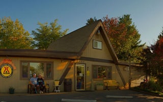
Bowling Green, Kentucky
Bowling Green KOA Holiday
Bowling Green is home of the National Corvette Museum and the General Motors Bowling Green Assembly Plant (check if tours are available)....
Scottsville, Kentucky
Tailwater
Overview
The Tailwater Campground offers 48-sites located along the Barren River, just below the dam. This lazy riverside campground is q...
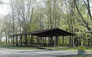
Scottsville, Kentucky
Baileys Point
Overview
Bailey's Point campground is the largest of the Army Corps of Engineers' campgrounds on Barren River Lake. This campground offer...
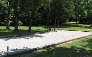
Lucas, Kentucky
The Narrows
Overview
The Narrows is a family-friendly campground on Barren River Lake, perfect for water lovers and anglers. The Narrows Campground i...
Mammoth Cave, Kentucky
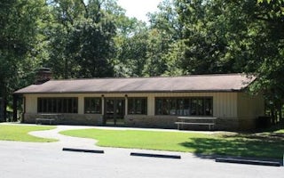
Mammoth Picnic Shelters
Overview
There are three shelters available at the Mammoth Cave Picnic Area for visitor use, two of which can be reserved.
Shelter G-...
Mammoth Cave, Kentucky
Maple Springs
Overview
At Maple Springs, visitors can enjoy the serenity of the campground and surrounding backcountry trails, or spend their days expl...


