LaFayette, Georgia
Top Spots in and near LaFayette
-
Cartersville, Georgia
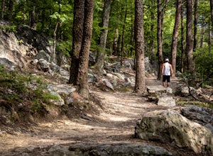
Pine Mountain Loop
4.62.11 mi / 597 ft gainThe Pine Mountain Trail winds and climbs its way to awesome summit views, along massive granite outcrops and serene forest. Hike over wooden bridges, across sparkling streams, past misty waterfalls & rock outcroppings, varied forest, scenic overlooks, & leaping deer. This local gem is tuc...Read more -
Cartersville, Georgia
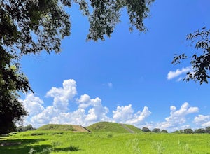
Etowah Indian Mounds Interpretive and River Walk Trails
4.01.08 mi / 105 ft gainEtowah Indian Mounds Interpretive and River Walk Trails is a loop trail that takes you by a river located near Cartersville, Georgia.Read more -
Sherwood, Tennessee
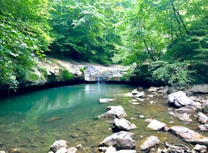
Walls of Jericho via Tennessee Trailhead
5.07.74 mi / 1667 ft gainWalls of Jericho via Tennessee Trailhead is an out-and-back trail that takes you by a waterfall located near Belvidere, Tennessee.Read more -
Reliance, Tennessee
Hike the Scenic Spur Trail
5.03.9 mi / 426 ft gainVery little elevation gain leads to an easy hike along a river right outside of the Ocoee river region. First .7 miles is very flat, then leads to some slight elevation gain but nothing too serious. This trail traverses through the lush forest for a short distance when you come across a small cre...Read more -
Reliance, Tennessee
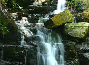
Rainbow Falls, Cherokee National Forest
4.83.37 mi / 531 ft gainStarting at the parking lot, head up the trail (Clemmer #302/Scenic Spur #78) and it should say "1.7 miles to waterfalls". At the top of the hill in approximately 0.1 miles, veer to the right on trail #78. Continue for another 0.6 miles trail - #86 cuts across but continue straight on #78. From t...Read more -
Grove Oak, Alabama
Cliff Jump at High Falls Park
4.9This park is fairly small and definitely off the beaten path on Alabama's back roads, so be sure to pay attention to which streets you're on.From Birmingham or Chattanooga, take Interstate 59 to Exit 218 in Fort Payne. Take Highway 35 West to Rainsville, then turn left onto Highway 75. Follow Hig...Read more -
Estillfork, Alabama
Walls of Jericho via Alabama Trailhead
4.55.8 mi / 1417 ft gainAround 5pm, we hiked down the only clearly marked trail that departs from the parking lot. The path begins with gentle switchbacks and great views of the forest, occasionally passing by small waterfalls, sinkholes, and caves; and arriving at the Hurricane Creek crossing (log with handrail) after ...Read more -
Benton, Tennessee
Hike to Benton Falls
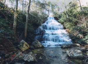
5.03.2 mi / 318 ft gainStart this hike from the parking lot of the Chilhowee Day Use Area (here you must remember to bring $3 cash to pay the day use fee). To begin, walk along the path to the left of the facilities until you come to the trailhead. Start here continuing along the left-side of the lake. After passing t...Read more

