LaFayette, Georgia
Top Spots in and near LaFayette
-
Ellijay, Georgia
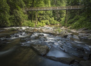
Hike the Tumbling Waters Trail
5.01.3 mi / 160 ft gainJust North of Carters Lake lies one of its tributaries, Tails Creek. The Tumbling Waters Trail follows along a scenic stretch of this creek as it cascades its way towards the lake. This trail is moderately trafficked and considered a local favorite. The Tumbling Waters trailhead also contains a...Read more -
Sequatchie, Tennessee
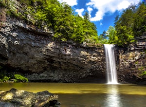
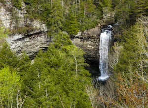
Foster Falls Loop
4.62.19 mi / 574 ft gainFoster Falls State Park is part of the South Cumberland State Park system. A short 45 minute drive from Chattanooga, Foster Falls boasts a stunning 60 foot waterfall that is worth visiting during any season of the year. The trailhead for this 2 mile hike starts from the Foster Falls parking lot a...Read more -
Sequatchie, Tennessee
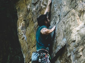
Climb Gravity Boots and After Burner
Foster Falls State Park is a sport climber's paradise, with most climbs tailored to advanced and expert climbers. Gravity Boots and After Burner are two climbs found on the Rocket Slab which is a standalone piece of rock to the left of the Sanford Wall. Both climbs run about 40'-50' and are bol...Read more -
Sequatchie, Tennessee
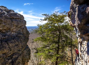
Climb at Foster Falls SP
5.04.5 miFoster Falls will suit any climber. A novice climber can find routes here, and an expert can find new and exciting projects. There are a few camping sites near the climbing area. Father Adams which is a primitive spot, and Foster Falls campground which has a shower and toilets (around $16 a night...Read more -
Ellijay, Georgia
Mountain Biking Bear Creek
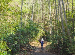
Bear Creek is a southern favorite amongst the mountain biking community. There are many variations and add-ons to make this ride more challenging, but the classic up and back from the parking lot at the base of Bear Creek is one of the most rewarding and adrenaline pumping runs you will find in ...Read more -
Scottsboro, Alabama
Explore Tumbling Rock Cave
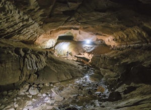
5.02.4 mi / 200 ft gainAs Tumbling Rock Cave is a private property owned and controlled by SCCI, a permit is required to access the cave. Permits can only be applied for online here, and once granted, SCCI will provide the exact location of the cave. Caving is not only an inherently dangerous activity due to difficul...Read more -
Euharlee, Georgia
Paddle the Lower Etowah (Euharlee Road to 411)
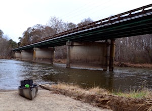
The nine mile stretch of river between Euharlee Road and 411 provides a beautiful getaway near Cartersville. As it sits downstream of Allatoona Lake, this is considered the Lower Etowah, and the temperament of the current depends largely on whether or not the Corps is releasing water upstream fro...Read more -
Ocoee, Tennessee
Whitewater Raft the Middle Ocoee River
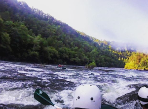
5.0The middle Ocoee River offers Class III and Class IV rapids through the southern Appalachian Mountains. Those with their own vessels can put into the river just below the Ocoee #2 TVA Dam. For those who do not have a vessel, there are numerous river guide companies who offer guided adventures. Th...Read more -
Copperhill, Tennessee
Hike the Beech Bottom Trail to Jacks River Falls
5.09 mi / 315 ft gainJacks River Falls is one of Georgia's most impressive waterfalls. Containing several cascades that combine to an 80 foot waterfall, this destination provides spectacular views and refreshing pools to take a dip in. You can approach the falls from either Jacks River Falls trail or the Beech Bott...Read more -
Tracy City, Tennessee
Sycamore Falls
4.52.18 mi / 236 ft gainSycamore Falls is located in the Fiery Gizzard region of South Cumberland State Park. The trailhead is located just past Tracy City Elementary School on Fiery Gizzard Road. There is a large parking lot with restrooms at the trailhead. Start your hike at the south end of the parking lot. This ...Read more -
Tracy City, Tennessee
Hike the Fiery Gizzard Trail
5.013.5 miStart this journey from the Grundy Forest Trailhead, where you will quickly begin a decent along the Little Fiery Gizzard Creek. At the 0.7-mile split, be sure to turn left and cross the bridge to stay on the Fiery Gizzard Trail. For the next 0.8-mile journey, you'll encounter the gorgeous Black ...Read more -
Tracy City, Tennessee
Firey Gizzard, Dog Hole and Ravens Point
5.08.42 mi / 1302 ft gainFirey Gizzard, Dog Hole and Ravens Point is an out-and-back trail that takes you by a waterfall located near Tracy City, Tennessee.Read more -
Benton, Tennessee
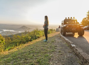
Watch the Sunset from Sugarloaf Overlook
The overlook is easily accessible from a parking circle located off Oswald Road. Follow U.S. Highway from Ocoee, Tennessee for 8 miles then turn left onto Oswald Road. Follow Oswald Road for 2.5 miles until you encounter the overlook on your left. The overlook will be clearly marked with signage....Read more -
Benton, Tennessee
Take in the View at Chilhowee Overlook
5.0Catch the sunset, bring friends and a picnic, or gaze at the stars from this classic Tennessee overlook! To reach Chilhowee Overlook, follow U.S. Highway from Ocoee, Tennessee for 8 miles then turn left onto Oswald Road. Follow Oswald Road for 3.75 miles until you encounter the overlook on your r...Read more -
Leesburg, Alabama
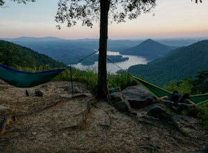
Camp at Sand Rock
5.01 mi / -100 ft gainWe camped in a rooftop tent, but many people used traditional tents and hammocks. After purchasing a camping permit, drive right up to your campsite. There are three general camping areas.First is the more exposed (to the often strong winds) campsites along the tops of the cliffs that are closest...Read more -
Leesburg, Alabama
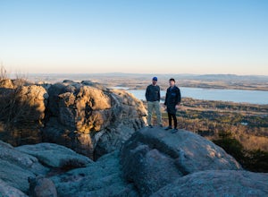
Climb Sand Rock
4.5Sand Rock is a unique set of rock outcropping that erupts from Shinbone Ridge overlooking scenic Lake Weiss. The climbable rock runs for about a quarter of a mile along the ridge and is a maze of trails, small caves and literally wall-to-wall climbing.You can find just about any climb to satisfy...Read more

