Hiawassee, Georgia
Looking for the best fitness in Hiawassee? We've got you covered with the top trails, trips, hiking, backpacking, camping and more around Hiawassee. The detailed guides, photos, and reviews are all submitted by the Outbound community.
Top Fitness Spots in and near Hiawassee
-
Helen, Georgia
Raven Cliff Falls
4.64.78 mi / 584 ft gainThe hike to Raven Cliff Falls round-trip is about 5 miles. The scenery is amazing the whole way through with beautiful cascading waterfalls and running streams filled with wildlife everywhere you look. Along the way, there are a few campsites where during the warm months you'll see many tents set...Read more -
Clayton, Georgia
Hike the James E. Edmond trail to Lookoff Mountain Overlook
4.07.5 mi / 2378 ft gainBlack Rock Mountain State Park is Georgia's highest elevation State Park. It is adorned with several waterfalls, sweeping overlooks, blooming Rhododendron's, and plenty of miles of trail. The James E. Edmond trail is the longest and by far most challenging hike in the park. Its medium-long dis...Read more -
Murphy, North Carolina
Hike to Panther Top Fire Tower
1.5 mi / 450 ft gainThe Panther Top fire tower is located in the Nantahala National Forest outside of Murphy, NC. To get there you get off of US 74 then turn onto panther top rd and continue till you see the signs for the tower. Once you get there the hike is about .75 there mostly up on the way to the top of the to...Read more -
Cleveland, Georgia
Hike and Climb to Yonah Mountain
4.94.53 mi / 1417 ft gainThe trail starts at "Mt. Yonah Trailhead" and is 4.4 mile round-trip with elevation of 1,500' to 3,166'. The trail stays below moderate tree coverage until around the halfway point where you will come upon a clearing known as the first LZ (landing zone). The mountain is shared with hikers by Army...Read more -
Cleveland, Georgia
Hike the Appalachian Trail to Preachers Rock
5.02.1 mi / 425 ft gainThe Appalachian Trail is arguably the most famous thru-hike in the world. Along its 2,181-mile journey, there are many beautiful mountain views, and Preachers Rock is definitely one of them. A large granite slab near the summit of Big Cedar Mountain reveals mountain views that are truly the epi...Read more -
Highlands, North Carolina
Explore Cullasaja Falls
5.00.3 mi / 200 ft gainThis is an awesome waterfall that offers views from several different spots along the road as well as a quick hike down to the base! The small pull-off area is located towards the top of the falls. There isn't much space (3 maybe 4 cars at a time), but there are additional pull-off areas further ...Read more -
Tellico Plains, Tennessee
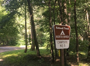
Camp at North River Campground and Dispersed Campsites
North River Road is located in the Nantahala National Forest near Tellico Plains. To get to North River Campground you can either drive up the Cherohala Skyway about 6 miles then turn when you see the sign for the campground and bald river falls. Another way to get to the campsites along North Ri...Read more -
Sylva, North Carolina
Hike to Cowee Bald Fire Tower
4.4 mi / 400 ft gainThe Cowee Bald Fire Tower is located in the Nantahala National Forest near Bryson City North Carolina. To get there you can either drive almost all the way to the top about .2 miles from the top but to get there you will need to have a 4WD or a higher clearance vehicle to cross a small stream. Ho...Read more -
Highlands, North Carolina
Explore Cashiers Sliding Rock
0.2 mi / 70 ft gainThis waterfall is located just outside of Cashiers, NC. The trailhead to the waterfall is right off of the road and has a good amount of parking. The trial itself is very nice and has new steps at the beginning of the trail. The trail is very wide and is mostly flat the entire way there. Once you...Read more -
Dawsonville, Georgia
Hike to Springer Mountain
3.519 mi / 4346 ft gainBegin your journey from Amicalola Falls State Park. Despite the steep climb, you should park at the base of the falls and climb the steps for a great view of one of the grandest falls in the South. (For more on that hike, see: "Climb the Stairs to Amicalola Falls"). From the top of the falls, fol...Read more -
Dawsonville, Georgia
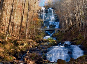
Amicalola Falls
4.30.73 mi / 292 ft gainAdventurers access the falls through the state park entrance. From the parking lot, hikers follow the clearly marked signs to the base of the falls. The incline begins by the pond at the base of the falls. From the pond, follow the incline along the cascading portion of the falls to the stairs. A...Read more -
Cashiers, North Carolina
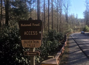
Hike to Silver Run Falls
0.25 mi / 100 ft gainThe hike to this waterfall is very short and well worth it. The waterfall is about 40 feet tall and has a large volume of water. This makes for a great place to swim. The bottom of the pool is about 15 feet deep and offers cool mountain water. To get there it is just outside of Cashiers, North C...Read more -
Bryson City, North Carolina
Deep Creek Loop
5.05.01 mi / 892 ft gainAfter parking in the Deep Creek Campground parking lot follow the signs for the Deep Creek Trailhead. The Tom Branch waterfall is just .3 miles on the right side. Hike another .5 miles, at the next intersection stay right, and you will approach Indian Creek Falls. After viewing the falls you ca...Read more -
Copperhill, Tennessee
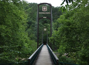
Explore Ocoee Whitewater Center
This location showcases the Ocoee river and the area used in the 1996 Olympics. This area is beautiful and has some amazing views. The drive to the whitewater center is called the Ocoee Scenic Byway and is the first national forest byway. The drive is gorgeous and features some amazing mountain v...Read more -
Glenville, North Carolina
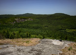
Hike to Blackrock Overlook
3 mi / 700 ft gainThis is probably one of my favorite hikes I've done in Panthertown Valley. Its also one of the easier views to access. You start from the Salt Rock Gap Parking lot, taking the Blackrock Trail (447) up Blackrock Mountain. This trail is located about 100 yards to the left if you are standing lookin...Read more -
Tuckasegee, North Carolina
Hike to Cedar Cliff Rock
2.4 mi / 830 ft gainCedar Cliff Rock is one of those local places that exemplifies the Blue Ridge mountains oh-so-well. From the top you can see the Tuckaseegee River along with both Cedar Cliff and Bear Creek Reservoirs. While there are a few homes in between, much of the view is untouched, allowing a big mountain ...Read more

