Gainesville, Georgia
Looking for the best chillin in Gainesville? We've got you covered with the top trails, trips, hiking, backpacking, camping and more around Gainesville. The detailed guides, photos, and reviews are all submitted by the Outbound community.
Top Chillin Spots in and near Gainesville
-
Roswell, Georgia
Climb and Chill at Allenbrook
4.0You’re going to be really surprised you’re still in Roswell, or in the Atlanta area at all. When you get out of your car and start walking down the wooden stairs at the start of the trail, the busy sounds of the rushing cars on Atlanta Street fade away into the wind flowing through the Tulip Popl...Read more -
Sandy Springs, Georgia
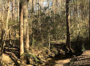
Hike through Big Trees Forest Preserve
4.02 mi / 120 ft gainBig Trees is truly a backyard beauty. The entrance connector brings you through to the beginning of the trails. If you are low on time, try out the Big Trees Loop (1/2 mile) which appears slightly before the major Backcountry trail system. Without going too deep into the preserve, you can still e...Read more -
Stone Mountain, Georgia
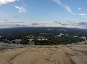
Stone Mountain
4.22.23 mi / 650 ft gainStone Mountain sits on the outskirts of downtown Atlanta. Located in the center of Stone Mountain Park, this 1,686 ft. granite mound provides visitors with a challenging cardio workout and excellent panoramic views of the Atlanta metropolitan area. Those who want to climb Stone Mountain should...Read more -
Tallulah Falls, Georgia
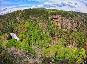
Camp at Tallulah Gorge State Park
4.7Tallulah Gorge is a must-see feature of Georgia. Campers can lay low and experience the gorge from its floor, engaging in river activities such as kayaking or swimming. Those seeking a thrill can hike the rim trails of the gorge, and even cross an 80' high suspension bridge. (Hikers who may be fe...Read more -
Clarkesville, Georgia
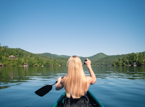
Paddle Lake Burton
3.0Lake Burton is, in my opinion, Georgia's most scenic large lake. It is completely surrounded by the Blue Ridge Mountains and has some of the clearest water in the state. Moccasin Creek State Park is a great launching point for all of your paddling adventures, whether you own your own vessel or ...Read more -
Woodstock, Georgia
Kayak to Lake Allatoona Waterfall
4.1Kayak from the Olde Rope Mill Park to the Lake Allatoona Waterfall (1.5 mile paddle from park to waterfall). This easy lake paddle is great for beginners. Waterfall Coordinates: 34.1436403,-84.5330342 If it is warm, bring a bathing suit and play in the water! There are also numerous spots to ha...Read more -
Tiger, Georgia
Hike to Glassy Mountain
5.01 mi / 3415 ft gainIn order to find this hidden gem, you'll have to drive quite a ways up the mountain first, otherwise it is a very steep incline. There will be limited parking at the gate that stops you from driving the whole way up. You will turn onto a road called "Glassy Mountain Rd" and that will be the road ...Read more -
Atlanta, Georgia
Take a Stroll through Blue Heron Nature Preserve
0.7 miBlue Heron Nature Preserve is located directly off of the heavily trafficked Roswell Road in Buckhead. The preserve boasts seven acres of greenery, wetlands, meadows, wildlife, and wildflowers. There is even an educational facility located on the grounds for those extra curious explorers. This...Read more -
Atlanta, Georgia
Morningside Nature Preserve Loop
4.52.01 mi / 154 ft gainPark your car on the residential road and look across the street into the woods for the trail. The trail winds around through a bamboo forest with streams winding in and out. The trail splits and you can either take the high road or low road closer to the river. Both trails meet back up near the...Read more -
2126-2144 Ponce De Leon Avenue Northeast, Georgia
Stroll through Deepdene Park
4.02 miDeepdene Park is the eastern most segment of the Olmsted Linear Park system that borders Ponce de Leon Avenue, connecting the Poncey-Highland community to the Druid Hills neighborhood. The parks included in this system are Springdale, Vigilee, Shadyside, Dellwood, and lastly, Deepdene. While the...Read more -
Clayton, Georgia
Camp at Tallulah River Campground
Tallulah River Campground is located in the Chattahoochee-Oconee national forest. It is just outside of Clayton, Georgia. The campground has about 15 spots that are big enough for a small to medium sized RV. Each camping spot also has a nice tent pad for a big tent. Most spots are also on the riv...Read more -
Morganton, Georgia
Camp at Morganton Point
Morganton Point Campground is one of the most well-maintained campgrounds in North Georgia. There are sites available for both RVs and tents, but the tent section is separate from the RV area so don't worry about any noisy generators! I camped at Site F, a tent-only campsite. This campsite (and ...Read more -
Comer, Georgia
Explore Watson Mill Covered Bridge
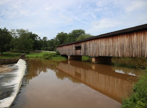
Watson Mill State Park has many different things to offer. The main attraction is the Watson Mill covered bridge. It is the longest covered bridge in Georgia it was built in 1885. The bridge is still driveable today as long as you are in a smaller vehicle I did it in a minivan and had plenty of r...Read more -
Atlanta, Georgia
Eastside Trail of the Atlanta Beltline
4.71.93 mi / 164 ft gainTo visit the Eastside Trail of the Atlanta Beltline, park in the paid public parking (different pricing Monday-Thursday & Friday-Sunday) at the far southeast corner of Piedmont Park, behind the Park Tavern restaurant and brewery. From there, walk to the intersection of Monroe Dr. and 10th St....Read more -
Clayton, Georgia
Hike to Martin Creek Falls
5.00.6 miThere are two different ways to get to this waterfall.The easiest way is through a trail in the Warwoman Wildlife Management Area. To get to this trail head, drive east on Warwoman Road from Clayton, GA. At approximately 3.5 miles, take a left onto Finney Creek Road (FS 152). You will see a sign ...Read more -
Marietta, Georgia
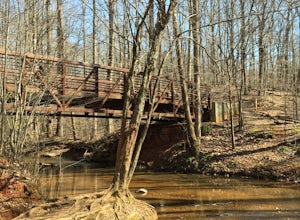
Hike to Noses Creek
3.52 miStarting at the Burnt Hickory Parking lot on Kennesaw National Battlefield, you head south on a pretty flat trail. After a mile and a half you will come across a bridge that goes over Noses Creek. If you're looking to cover more ground, the trails around the creek expand for miles in any directio...Read more


