Euharlee, Georgia
Looking for the best photography in Euharlee? We've got you covered with the top trails, trips, hiking, backpacking, camping and more around Euharlee. The detailed guides, photos, and reviews are all submitted by the Outbound community.
Top Photography Spots in and near Euharlee
-
Cartersville, Georgia
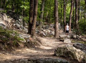
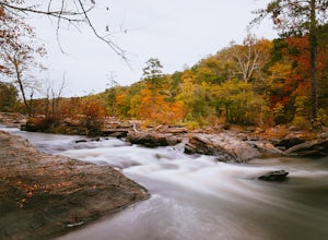
Pine Mountain Loop
4.62.11 mi / 597 ft gainThe Pine Mountain Trail winds and climbs its way to awesome summit views, along massive granite outcrops and serene forest. Hike over wooden bridges, across sparkling streams, past misty waterfalls & rock outcroppings, varied forest, scenic overlooks, & leaping deer. This local gem is tuc...Read more -
Cartersville, Georgia
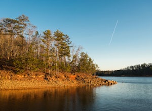
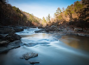
Camp at Red Top Mountain State Park
4.5Red Top Mountain State Park finds itself just 30 minutes up I-75 from the urban sprawl of Atlanta, and it is surprising how quickly you can forget exactly how close you are to the city with just one night of camping here. The State Park has a range of activities to offer, so there is bound to be...Read more -
Acworth, Georgia
Hike and Swim at Red Top Mountain
4.54.74 mi / 472 ft gainThe Georgia summer is no joke. Fortunately, Red Top Mountain's Homestead Trail hosts enough shade and swimming for all adventurers. The 5.5 mile loop is located on a large peninsula stretching out into Lake Allatoona. Hikers enter a lush forest of wildlife and will encounter moderate elevation...Read more -
Marietta, Georgia
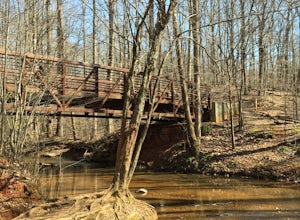
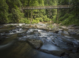
Hike to Noses Creek
3.52 miStarting at the Burnt Hickory Parking lot on Kennesaw National Battlefield, you head south on a pretty flat trail. After a mile and a half you will come across a bridge that goes over Noses Creek. If you're looking to cover more ground, the trails around the creek expand for miles in any directio...Read more -
Lithia Springs, Georgia
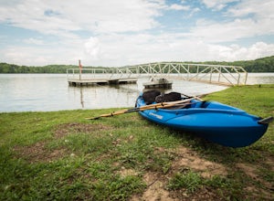
Kayak George H. Sparks Reservoir
Sweetwater Creek State Park has a lot to offer in terms of adventure. One of the best things about this park is its proximity to the city of Atlanta. It is incredible how easy it is to feel like you are hours away from the city, even though Sweetwater is only several miles west of the city. It mi...Read more -
Lithia Springs, Georgia
Sweetwater Creek White Loop
4.54.87 mi / 371 ft gainSweetwater Creek State Park offers a breath of fresh air and beautiful sights only 15 miles from Atlanta. The park has 9 miles of trails to choose from. The shortest of the three trails is the Red Trail (1 mile, one-way). After a half mile you will arrive at the impressive 5 story New Manchester ...Read more -
Lithia Springs, Georgia
Sweetwater Creek Red Trail
4.81.48 mi / 46 ft gainSweetwater Creek State Park lies just about 20 minutes West of Downtown Atlanta. An easy drive along I-20 from the large city makes this park a very popular destination, especially on the weekends. Out of the parks three main trails, the Red Trail is by far my favorite. Scenic river views and ...Read more -
Roswell, Georgia
Climb and Chill at Allenbrook
4.0You’re going to be really surprised you’re still in Roswell, or in the Atlanta area at all. When you get out of your car and start walking down the wooden stairs at the start of the trail, the busy sounds of the rushing cars on Atlanta Street fade away into the wind flowing through the Tulip Popl...Read more -
Atlanta, Georgia
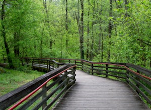
Hike the Cascade Springs Trail
5.01.9 miA quick and local getaway from the hustle and bustle of Atlanta city life, Cascade Springs Nature Preserve offers over 100 acres of forested trails that lead to Utoy Creek and Cascade Falls.The trail starts at the parking area and leads to a boardwalk where old historical structures stand alongsi...Read more -
Ellijay, Georgia
Hike the Tumbling Waters Trail
5.01.3 mi / 160 ft gainJust North of Carters Lake lies one of its tributaries, Tails Creek. The Tumbling Waters Trail follows along a scenic stretch of this creek as it cascades its way towards the lake. This trail is moderately trafficked and considered a local favorite. The Tumbling Waters trailhead also contains a...Read more -
Atlanta, Georgia
Morningside Nature Preserve Loop
4.52.01 mi / 154 ft gainPark your car on the residential road and look across the street into the woods for the trail. The trail winds around through a bamboo forest with streams winding in and out. The trail splits and you can either take the high road or low road closer to the river. Both trails meet back up near the...Read more -
Atlanta, Georgia
Eastside Trail of the Atlanta Beltline
4.71.93 mi / 164 ft gainTo visit the Eastside Trail of the Atlanta Beltline, park in the paid public parking (different pricing Monday-Thursday & Friday-Sunday) at the far southeast corner of Piedmont Park, behind the Park Tavern restaurant and brewery. From there, walk to the intersection of Monroe Dr. and 10th St....Read more -
Fort Payne, Alabama
Explore Little River Falls
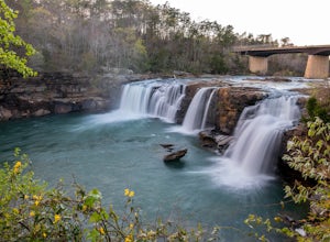
4.0Little River Falls is a popular site within the Little River Canyon National Preserve, a 12 mile long, 600 ft deep canyon.The 45-foot falls can be accessible from two different vantage points – either via a paved but steep path from the parking lot down to an overlook, or by driving to a higher l...Read more -
Fort Payne, Alabama
Swim at Little Falls (Martha's Falls)
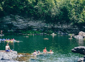
4.41.5 miLittle Falls, also referred to as Martha Falls and the “Hippie Hole” by the locals, is a popular swimming hole a part of Little River Canyon National Preserve, located along the state line of Alabama and Georgia. Perks include free parking and free admission. Drive up Lookout Mountain and pull i...Read more -
Chatsworth, Georgia
Hike the Gahuti Trail
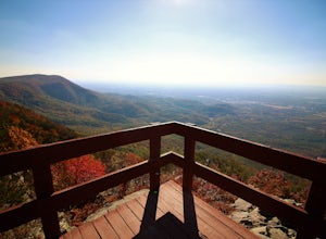
4.08.1 mi / 1223 ft gainFort Mountain rises prominently from the plateau to the West, serving as the start of the Blue Ridge Mountain range in Georgia. The Gahuti Backcountry Trail circumnavigates the mountain, with several overlooks with views in all directions. At 8.1 miles, this hike is moderately difficult, but can...Read more -
Chatsworth, Georgia
Hike the West Overlook Trail and CCC Stone Tower Trail Loop
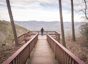
4.71 mi / 200 ft gainFort Mountain State Park is filled with horse trails, biking trails, walking trails, camping sites, and a lake. Once you arrive at the park you pay a $5 entrance fee and will receive a park map. While visiting I walked the West Overlook Trail and came back down the CCC Tower Trail. This is a 1 mi...Read more

