Top Spots in and near Chattahoochee National Forest
-
Clayton, Georgia
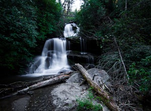
There are two different ways to get to this waterfall.The easiest way is through a trail in the Warwoman Wildlife Management Area. To get to this trail head, drive east on Warwoman Road from Clayton, GA. At approximately 3.5 miles, take a left onto Finney Creek Road (FS 152). You will see a sign ...
Read more
-
Franklin, North Carolina
4.7
2.36 mi
/ 807 ft gain
The road leading to the trailhead is rough the last mile, but doable in any car. Just make sure to take it easy going up and be careful, especially if there has been any rain or snow. You will have reached the parking area for the hike once you see a large green Appalachian trail sign and a few...
Read more
-
Alpharetta, Georgia
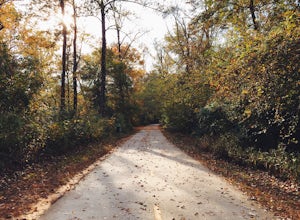
The Big Creek Greenway is a roughly 8-mile stretch of paved trail that runs from its northern Marconi Drive entrance in Alpharetta down to Old Alabama Road in Roswell. There is also an extended bit of the Greenway a little further north in Forsyth County, though these two trails do not connect. T...
Read more
-
Suwanee, Georgia
5.0
1.17 mi
/ 135 ft gain
Sims Lake Park Trail is a loop trail that takes you by a lake located near Suwanee, Georgia.
Read more
-
Long Creek, South Carolina
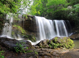
These waterfalls are absolutely beautiful during the summer greenery and fall foliage, but open to access year around.Driving Directions: From Westminister, follow US 76 West for 11.8 miles and turn left onto Brasstown Road. Follow this road 4.1 miles to FS 751. (The pavement ends in 2.6 miles.) ...
Read more
-
-
Woodstock, Georgia
Kayak from the Olde Rope Mill Park to the Lake Allatoona Waterfall (1.5 mile paddle from park to waterfall). This easy lake paddle is great for beginners.
Waterfall Coordinates: 34.1436403,-84.5330342
If it is warm, bring a bathing suit and play in the water! There are also numerous spots to ha...
Read more
-
Dillard, Georgia
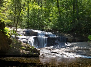
Starting at the trailhead you begin by following the yellow blazes. The trail isn't well marked so keep an eye out for the blazes you see. The trailhead starts at the dead end of Kelsey Mountain Trail. The path immediately starts to incline and doesn't stop. A few minutes in you will come to a fo...
Read more