Top Spots in and near Chattahoochee National Forest
-
Cumming, Georgia
4.0
5.35 mi
/ 823 ft gain
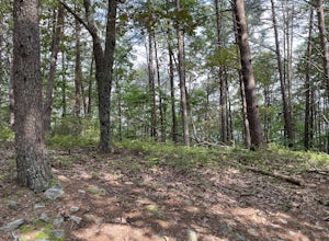
Mountainside Loop Trail is a loop trail where you may see beautiful wildflowers located near Cumming, Georgia.
Read more
-
Tiger, Georgia
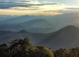
In order to find this hidden gem, you'll have to drive quite a ways up the mountain first, otherwise it is a very steep incline. There will be limited parking at the gate that stops you from driving the whole way up. You will turn onto a road called "Glassy Mountain Rd" and that will be the road ...
Read more
-
Benton, Tennessee
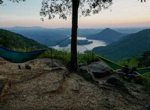
The overlook is easily accessible from a parking circle located off Oswald Road. Follow U.S. Highway from Ocoee, Tennessee for 8 miles then turn left onto Oswald Road. Follow Oswald Road for 2.5 miles until you encounter the overlook on your left. The overlook will be clearly marked with signage....
Read more
-
Benton, Tennessee
Start this hike from the parking lot of the Chilhowee Day Use Area (here you must remember to bring $3 cash to pay the day use fee). To begin, walk along the path to the left of the facilities until you come to the trailhead.
Start here continuing along the left-side of the lake. After passing t...
Read more
-
Lakemont, Georgia
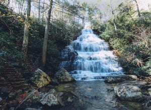
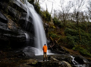
Despite their beauty, not many hikers know about Minnehaha Falls. Even more shocking, these are some of the most accessible falls in all of North Georgia. Round trip, the hike to the falls will only take about a half a mile. Hikers can park along the side of the road at the trailhead. Follow the ...
Read more
-
Robbinsville, North Carolina
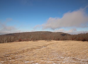
Hooper bald is one of the highest points in Graham County so the views from the top can be spectacular year round.
The trail-head starts at mile marker 8 on the Cherohala Skyway. From the trail-head you start your accent on a semi-paved trail and walk about a half-mile before reaching the edge o...
Read more
-
Tellico Plains, Tennessee
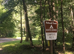
North River Road is located in the Nantahala National Forest near Tellico Plains. To get to North River Campground you can either drive up the Cherohala Skyway about 6 miles then turn when you see the sign for the campground and bald river falls. Another way to get to the campsites along North Ri...
Read more
-
Tellico Plains, Tennessee
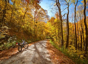
If you're looking to get off the beaten path and take the road less traveled, North River Road is your ticket to solitude.A popular loop for the locals is starting on Tellico River Road, then getting on North River Road to make your way up the mountain all the way to the Cherohala Skyway. Take th...
Read more
-
Tellico Plains, Tennessee
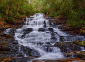
If you're looking to check out a secnic waterfall in East Tennessee, Bald River Falls is sure to be on your list. At 90 feet, you can't miss this roaring beauty during any season. Also, Tellico Plains is an awesome mountain town in itself; check it out before or after your hike.To get to Bald Riv...
Read more
-
Tellico Plains, Tennessee
Getting to the trailhead can be a challenge if there has been any heavy precipitation or icy conditions due to the fact the last two miles are one mile of broken pavement and the last mile a dirt road. You should be fine in good conditions in any car; however, just make sure to take it easy on th...
Read more
-
Lake Santeetlah, North Carolina
4.8
1.77 mi
/ 295 ft gain
Huckleberry Knob is the highest point in the Cheoah Ranger District at 5,560 feet, and it offers expansive views of the surrounding Cherokee and Natahala National Forest.
The hike is 2.4 miles roundtrip and begins at the parking lot between mile 8 and 9 up an old dirt road. You will go up the di...
Read more
-
Tellico Plains, North Carolina
You will start your hike off of the Cherohala Skyway. The trail-head is a small asphalt pull-off on the right if you are coming from Tellico Plains. From the trail-head the trail starts up and almost all of the trial is an uphill incline on the way there with about 700 feet of elevation change ov...
Read more
-
Ocoee, Tennessee
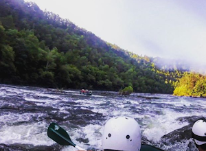
The middle Ocoee River offers Class III and Class IV rapids through the southern Appalachian Mountains. Those with their own vessels can put into the river just below the Ocoee #2 TVA Dam. For those who do not have a vessel, there are numerous river guide companies who offer guided adventures. Th...
Read more
-
Gainesville, Georgia
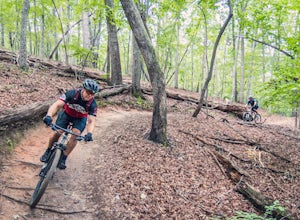
There is a designated parking lot for the Chicopee Woods mountain bike trails with plenty of parking, but it can fill up on weekends.To access the trailhead for Flying Squirrel, you have to take a few other trails (a good warm-up!) to get back to a junction known as ‘Confusion Corner’, which is w...
Read more
-
Tellico Plains, Tennessee
To get to the trailhead, drive 22.5 miles on the Cherohala Skyway from Tellico Plains, Tennessee. If you are coming from the North Carolina side, drive 20.5 miles to the trailhead. The trailhead parking area is marked by a large green sign saying West Rattlesnake and is surrounded by a low stone ...
Read more
-
Franklin, North Carolina
Begins at the parking lot for the Standing Indian Campground. (No permits are needed to park here) For the first 3.7 miles, take Kimsey Creek Trail, which runs along the water, until you meet up with the AT at Deep Gap. Rolling hills and lots of foliage throughout, leading up to Standing Indian M...
Read more

