Sedalia, Colorado
Looking for the best photography in Sedalia? We've got you covered with the top trails, trips, hiking, backpacking, camping and more around Sedalia. The detailed guides, photos, and reviews are all submitted by the Outbound community.
Top Photography Spots in and near Sedalia
-
Golden, Colorado
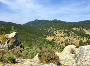
Hike to Forgotten Valley
4.33.6 mi / 852 ft gainThere are over 35 miles of hiking trails in the park. The twelve trails in Golden Gate Canyon State Park are named after an animal and marked with the animal’s footprint.For a 2.6 round trip hike, start at the Burro Trailhead in Golden Gate Canyon State Park. You’ll immediately cross over a lit...Read more -
Silver Plume, Colorado
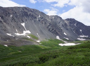
Grays and Torreys Peaks
4.37.97 mi / 3458 ft gainAt about an hour's drive from Denver, Grays Peak (14,270 ft./4338m) and its sister mountain, Torreys Peak (14,267 ft./4337m), are two of the most popular 14ers in the state. Because of this, a wealth of information is available on the internet. Rather than go into all the details of the technical...Read more -
Silver Plume, Colorado
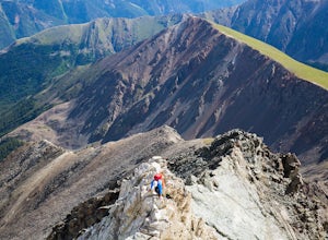
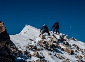
Torrey's Peak via Kelso Ridge
5.05.79 mi / 2982 ft gainThe start of this route up the Kelso Ridge is the same as doing the standard route of Gray's and Torrey's peaks. From the trailhead cross the large metal bridge and continue on the great trail as it slowly climbs away from the parking lot and trailhead. This first section is not steep, but prov...Read more -
Silver Plume, Colorado
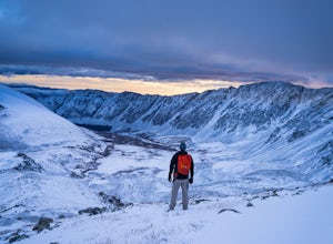
Grays Peak Trail
4.57.25 mi / 2995 ft gainThe first challenge you'll face on your way to the summit of Gray's peak is Steven's Gulch Road. My Corolla rolled up to the start of what I’ve seen described as a “4x4 road that should probably not be attempted in a low clearance vehicle”. But what the heck, it was late, and I didn't feel like w...Read more -
Golden, Colorado
Hike the Mountain Lion Trail
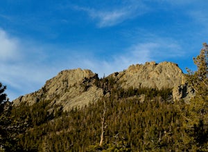
6.7 mi / 1230 ft gainThere are three parking lots with direct access to the Mountain Lion Trail. The main one is off of Crawford Gulch Road, but any of them are good starting points! This loop has pretty similar elevation gain and loss profiles no matter which way you go, so you can go any direction. This adventure ...Read more -
Golden, Colorado
Hike Racoon Trail to Panorama Point
4.03.3 mi / 750 ft gainSummer is a magical time of year in the Rocky Mountains. One great way to experience this stunning beauty is through hiking Raccoon Trail to Panorama Point at Golden Gate State Park. Raccoon Trail is 3.3 mile moderately difficult hike which can be completed in under an hour, although it will like...Read more -
Dillon, Colorado
Off-Road to Glacier Mountain
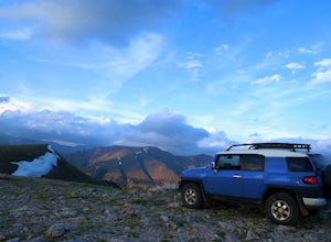
5.07.4 mi / 2100 ft gainThe trail begins just past historical Main Street Montezuma. You will see a sign on your right for St. Johns road. This road is officially marked as 275 on a map. The original road lead to St. Johns but not much of the town remains.You will cross the Snake River almost immediately after you turn ...Read more -
Fairplay, Colorado
Stay the Night in an Off-Grid Cabin in Fairplay, CO
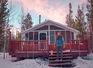
This will be an amazing experience for anyone that books this cabin, guaranteed. It's the perfect size with a kitchen, living room, bunk beds, and back porch. In addition to the main house there is a tree house that has a couch and a bed in it as well; so the property can host a decent sized grou...Read more -
Dillon, Colorado
Bakerville Scenic Snowshoe/XC Ski Trek
4.0In summer, Stevens Gulch Road, the access point to Grays Peak and Torreys Peak, is typically packed with adventurers intent on summiting a 14er or two. Once the snow comes, this unmaintained road becomes impassible, and the once busy lane transforms into a silent and pristine haven for snowshoers...Read more -
Breckenridge, Colorado
Hike Baker's Tank Loop
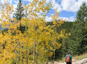
3.86 mi / 645 ft gainWhen the aspens are sporting their golden hues of autumn, Baker's Tank Loop is a perfect fall hike. The trailhead is about ten minutes from downtown Breckenridge. For part of the hike, you may have the world to yourself. But, for the road portion, you'll likely have to share with the leaf peep...Read more -
Idaho Springs, Colorado
Explore 'The Hidden Gems' of Loch Lomond
5.04.6 mi / 950 ft gainGetting There From Denver, go W on I-70 and take exit 238 for Fall River Rd. Continue on this road before taking a left on Alice Rd. Continue on Alice Rd. until you see the right hand turn for Steuart Rd. This is where you park. Do not attempt this road in a AWD or 2WD you definitely need a good ...Read more -
Idaho Springs, Colorado
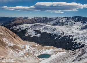
Hike to Loch Lomond
5.04.6 mi / 948 ft gainWhen you start the hike to Loch Lomond, you'll have a few options for parking. The further up the road you go the trickier it's going to be to get back out. I parked at the bottom of the road and hiked my way up. The first mile or two is mostly elevation gain and to be quite honest I thought I wa...Read more -
Dillon, Colorado
Hiking Mount Sniktau
5.04 miMount Sniktau is a great beginner 13er. This hike offers a fun ridge walk with amazing views! Make sure you come prepared, the wind can be pretty relentless. Parking is limited so make sure you arrive early.This hike will get your blood pumping from the moment you exit your vehicle. You will cli...Read more -
Dillon, Colorado
Hike Grizzly Peak at Loveland Pass
5.06 mi / 2900 ft gainWhile a typical Colorado hike may be an ascent to your destination followed by a descent back to your car, the hike to Grizzly Peak at Loveland Pass (Grizzly Peak "D") breaks that mold. At 13,427 feet, Grizzly Peak stands in the path to Torreys Peak’s west face (14,267’). Even though it is only ~...Read more -
Loveland Pass, Colorado
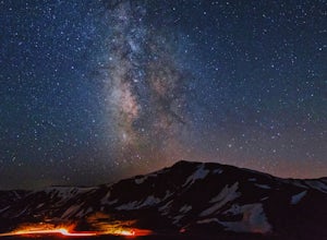
Photograph the Milky Way at Loveland Pass
Loveland Pass is often very busy during the winter as people move through the pass to access the nearby ski areas and just as popular for tourists admiring the beauty of the continental divide in the summer. It is also the start of some great hiking trails like the Mount Sniktau Trail. However, ...Read more -
Breckenridge, Colorado
Winter Climb of North Star Mountain
4.08 mi / 2400 ft gainFrom the west parking lot at the top of Hoosier Pass, take the 4x4 road as it climbs through a forest west of the pass. Before long, the trees thin and you'll stay on the road through treeline and reach a gate at just over 12,000 feet.Stay right at the gate and continue on this old mining road as...Read more

