Red Cliff, Colorado
Looking for the best camping in Red Cliff? We've got you covered with the top trails, trips, hiking, backpacking, camping and more around Red Cliff. The detailed guides, photos, and reviews are all submitted by the Outbound community.
Top Camping Spots in and near Red Cliff
-
Buena Vista, Colorado
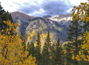
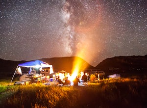
Camp at Mt. Elbert Forebay Reservoir
5.0At the base of Mt. Elbert there are three campgrounds. One is a National Forest campground - you have to pay for a spot and it is closed from October-May. The other two are first-come, first-serve free campground areas. As you drive past the south trailhead, right before the reservoir, there is a...Read more -
Twin Lakes, Colorado
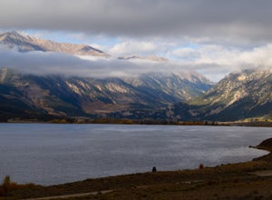
Camp at Twin Lakes' White Star Campground
4.5This area is located on the other side of Independence Pass from Aspen, which is only accessible during the summer, or can be reached year-round via Leadville, which is about 20 miles away along Highway 24. From Twin Lakes Village drive approximately 1.5 miles east on Highway 82 and take the exit...Read more -
Twin Lakes, Colorado
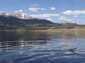
Kayak Twin Lakes
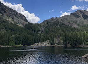
Twin Lakes are two bodies of water that are connected by a short run of water with a dam at the eastern end. There are a few different places to put in your boat including boat ramps by the access point on the east end of the lake. There is also a boat ramp and a place to seasonally rent boats by...Read more -
Independence, Ohio
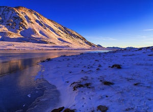
Hike Lost Man Pass via Independence Lake
5.04.5 mi / 1200 ft gainPark at the pull out just west of independence pass. From there, begin on the Linkin's Lake Trail. The trail is generally easy to follow (although it can be muddy as it is a wet area) and climbs 900 feet in the 1.8 miles to independence lake. From Independence lake it is about 0.5 miles and 400 f...Read more -
Aspen, Colorado
Hike Lost Man Loop
5.08.8 mi / 1290 ft gainThis 8.8 mile "loop" is not a true loop and the trail ends 4 miles apart along Independence Pass, so a car shuttle is recommended. I would recommend starting at the west trailhead (closer to Aspen) but will describe both trailheads so you can set up another car or shuttle at the other one.1) West...Read more -
Buena Vista, Colorado
Mt. Elbert via Black Cloud Trail
4.510.69 mi / 4967 ft gainDirections: Heading south from Leadville from U.S. 24: West on CO 82 for 10.5 miles to a hidden right turn that leads to a trail head. If you make it to the Mt. Elbert Lodge, you have gone just a bit too far. The parking lot (aka: dirt access) should be relatively empty as everyone tends to hik...Read more -
Bond, Colorado
Camp at Radium Campground
This was a rafting/camping trip. We camped at the Radium Campground and rafted 4.5 miles from Pump House Boat Launch. BLM charges $5.00 per vehicle at the boat launch sites and $10.00 per night for camping.Keep an eye out for big horn sheep. I saw them grazing on the side of the colorado river.Yo...Read more -
Parshall, Colorado
Camp at Jones Pass
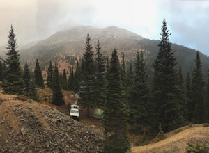
4.5To locate these campsites all you have to do is type in Jones Pass Road into google maps or your iPhone and it will take you straight there. There are road signs once you get off I-70 that will help you the rest of the way that say Jones Pass. Once you hit the dirt road and pass the Jones Pass Tr...Read more -
Silver Plume, Colorado
Torrey's Peak via Kelso Ridge
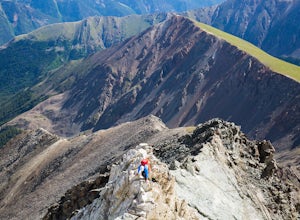
5.05.79 mi / 2982 ft gainThe start of this route up the Kelso Ridge is the same as doing the standard route of Gray's and Torrey's peaks. From the trailhead cross the large metal bridge and continue on the great trail as it slowly climbs away from the parking lot and trailhead. This first section is not steep, but prov...Read more -
Aspen, Colorado
Weller Lake Trail
4.01.17 mi / 312 ft gainWeller Lake Trail is an out-and-back trail that takes you by a lake located near Aspen, Colorado.Read more -
Aspen, Colorado
Camp Difficult Campground, Aspen
This is a great backup campground if all of Maroon Bells campgrounds are full, which in all reality is highly likely. If you're looking to beat the crowds, this is a good number campground to consider. This campground is right off the highway, 5 miles away from the town of Aspen, easy to find, an...Read more -
Aspen, Colorado
Camp on the Backside of Buttermilk Mountain
1.04 mi / 2000 ft gainPark at the Buttermilk Ski Area parking lot and begin your hike up the mountain at the bottom of the Summit Express chair lift. Follow the 4x4 dirt road the entire way up Buttermilk. There are other small hiking trails that you can follow too, and with the entire mountain being a ski area, it's s...Read more -
Dillon, Colorado
Silver Dollar Lake Trail
5.03.93 mi / 945 ft gainGuanella Pass, which connects the charming and historic town of Georgetown in the north to the blink-and-you’ll-miss-it Grant to the south, is a recreational outdoorsman’s dream. Volumes could be written on what this 22-mile scenic byway has to offer. Silver Dollar Lake Trail is just one tiny po...Read more -
Idaho Springs, Colorado
Camp at Guanella Pass
4.5This is a beautiful campground that serves as a great basecamp for many different outdoor activities in the Front Range. Whether you are looking for a casual day fishing or trying to knock one of the nearby 14ers off of your bucket list, this is an excellent place to begin. There are also abandon...Read more -
Idaho Springs, Colorado
Bierstadt, Evans, and The Sawtooth Loop
4.59.76 mi / 3438 ft gainStarting from the oddly poorly marked Guanella Pass Trailhead (Google maps directions to Guanella Campground and then drive about two miles past it to the south), the trail heads southeast toward Bierstadt, and much of your route to the first summit is visible from the parking lot. The trail to ...Read more -
Idaho Springs, Colorado
Watch the Sunrise at Guanella Pass
5.01 mi / 100 ft gainFrom Denver, take i70 to Georgetown and simply follow the signs through town to the top. This pass can also be accessed from the south via US Highway 285 at the town of Grant. Guanella Pass is closed in the winter, typically from about the last week in November through the last week of May. Watch...Read more

