Placerville, Colorado
Looking for the best hiking in Placerville? We've got you covered with the top trails, trips, hiking, backpacking, camping and more around Placerville. The detailed guides, photos, and reviews are all submitted by the Outbound community.
Top Hiking Spots in and near Placerville
-
Placerville, Colorado
Hike Wilson Peak aka Coors Peak
4.0The mountain peak that turns blue when Coors and Coors Light bottles and cans are ice cold is real. No, it is not called Coors Peak. But it is in Colorado, where Coors was born. The snow-capped mountain in the Coors logo is really Wilson Peak near Telluride, Colorado.If you want to crack a Coo...Read more -
Telluride, Colorado
Blue Lakes Trail
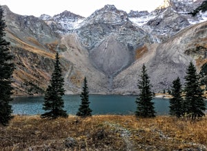
5.08.81 mi / 2635 ft gainYour adventure begins at the Blue Lakes Trailhead, elevation 9400’, in Uncompahgre National Forest. Take CO-62 from Ridgway toward Telluride, turn left onto Ouray County Road 7, and follow it into the national forest to the end of the road. Just past the trailhead, the trail splits; be sure to ...Read more -
San Miguel County, Colorado
Mystic Falls
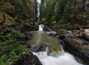
4.22.39 mi / 138 ft gainI've been visiting Telluride, CO for the last 20 years, and I'd never once heard of this place. Mystic Falls is not marked on any map I've ever seen. And even some locals seem to have never heard of it. So I feel like I lucked out on this last trip to Telluride when a friend found a blog post and...Read more -
Telluride, Colorado
Hike the Jud Wiebe Trail
5.03.1 mi / 1300 ft gainThe Jud Wiebe can be accessed from two trailheads: 1) The top of North Aspen St (opposite direction of the Gondola) and across the bridge on the left (where this adventure starts) 2) North Oak St - hike up Tomboy Road and head to the left at the sign for the Jud Wiebe trail Street parking is ava...Read more -
Telluride, Colorado
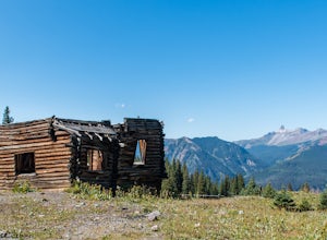
Explore Alta Ghost Town
5.00.5 miAlta Ghost Town is located about 10 miles from Telluride on Alta Lakes Road. Take the rugged dirt road approximately 2 miles until the ghost town appears on the left. Hike up the short trail to view the remnants of the old mining town with many of the buildings still standing, including the impre...Read more -
Telluride, Colorado
Hike to Cornet Creek Falls
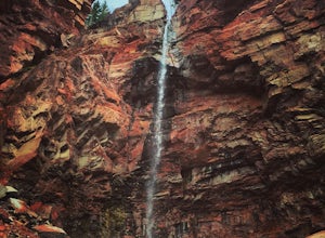
4.0Only 5 minutes from the center of Telluride, Cornet Creek Falls is the perfect hike for those seeking a serene mountain escape without having to go far away from the center of all the action.From town, head up North Aspen Street towards the Jud Wiebe Trailhead. Once arrived, continue straight up ...Read more -
Telluride, Colorado
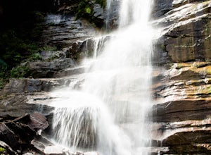
Hike to Bear Creek Falls in Telluride
5.05 mi / 1000 ft gainThe trail begins at the south end of Pine Street in Telluride, and proceeds 2.5 miles up the Bear Creek Canyon trail with an elevation gain of about 1,000'.Be sure to stay to the left at the divide with the Wasatch Trail.At the waterfall there is a small use trail that contours up to the right an...Read more -
Telluride, Colorado
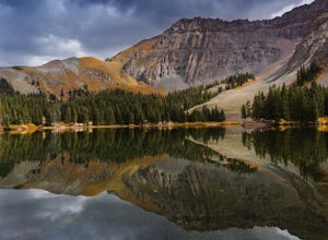
Alta Lakes Dispersed Camping
4.7Note: Camping is permitted around the lake. There are approximately 20 undeveloped campsites. For more information, head to the US Forest Service website. Camping Facilities20 campsites that are completely undevelopedCamping is permitted at only the designated campsitesPortable toilets are avail...Read more -
Ouray County, Colorado
Mount Sneffels via Yankee Boy Basin
5.01.94 mi / 1581 ft gainThe most common route, sometimes called the standard route or the Lavender Col route, begins at or near the top of Yankee Boy Basin, just outside of Ouray. Take the Camp Bird Road as far as you can, though be warned that the last few miles of the road are extremely rough and should only be attem...Read more -
Ouray County, Colorado
Climb Mt. Sneffels via the Southwest Ridge
4.53 mi / 1800 ft gainThere is a great description of this trailhead here: Hike Mount SneffelsThe SW Ridge route of Mt Sneffels is a Class III scramble in the Mount Sneffels Wilderness area of the San Juan Range located between Ouray and Telluride, Colorado. This route is 3 miles RT with 1,800 feet of elevation gain ...Read more -
Ridgway, Colorado
Explore Twin Falls in Yankee Boy Basin
While small, Twin Falls sits in the extremely photogenic backdrop of Yankee Boy Basin. To reach the falls 7.5 miles outside of Ouray follow Camp Bird road for 4.7 miles before taking a right onto Yankee Boy Basin Road. After 2.8 miles you'll reach one of several small parking areas on the left ...Read more -
Telluride, Colorado
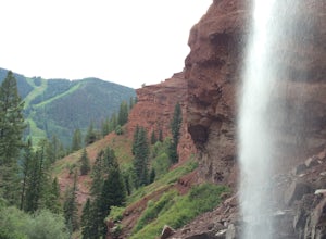
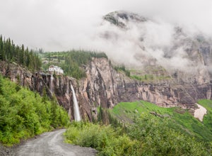
Hike to Bridal Veil Falls in Telluride
5.02.4 mi / 850 ft gainPark at the Pandora Mill just east of Telluride and lace up your footwear of choice. At 1.2 miles to the base of the falls with 850 feet of gain, this can make for a great thigh burning hike or run. The trail is a gravel road that eventually passes a gate to further trails up the Bridal Veil Ba...Read more -
Ophir, Colorado
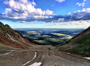
Drive Ophir Pass
4.58 mi / 2500 ft gainOphir Pass (el. 11,114’), officially known as Forest Service Road #630, is one of the easiest of the high alpine trails in the San Juan mountains, but still can provide trouble to the inexperienced or when bad weather is present, particularly on the western/Ophir downhill side. The pass and road ...Read more -
Ophir, Colorado
"Iron Way" Telluride Via Ferrata
3.15 mi / 974 ft gainThe Via Ferrata is an incredible way to enjoy Telluride from above. If you and your group have rock climbing experience this will be right up your alley. If no experience rock climbing there are guided options with great shops from town that will help you along this route. Hike up to Bridal Veil...Read more -
Durango, Colorado
Explore Clear Lake
5.0The road to Clear Lake offers wonderful views of the South Fork Mineral Creek, and the San Juan Mountains. Some people make the 9-mile round-trip hike with 2,600 feet of elevation gain, others drive as far as their vehicle will allow and hike from there, and some make the drive all the way up. It...Read more -
Telluride, Colorado
Drive Black Bear Pass & the Ingram Basin
5.012 mi / 3000 ft gainBlack Bear Pass (el. 12,840’), officially known as Forest Service Road 648, is an infamous 4WD road that runs between U.S. Highway 550 (between Silverton & Ouray) and Telluride, CO. From the pass downhill through the Ingram Basin to Telluride, the road is one-way and features switchbacks and ...Read more

