Placerville, Colorado
Top Spots in and near Placerville
-
Placerville, Colorado
Hike Wilson Peak aka Coors Peak
4.0The mountain peak that turns blue when Coors and Coors Light bottles and cans are ice cold is real. No, it is not called Coors Peak. But it is in Colorado, where Coors was born. The snow-capped mountain in the Coors logo is really Wilson Peak near Telluride, Colorado.If you want to crack a Coo...Read more -
Ridgway, Colorado
Photograph Dallas Divide
Along with Maroon Lake and Crystal Mill, Dallas Divide is one of Colorado's iconic photography locations. It's proximity to the rugged San Juan mountains makes it an ideal location to capture some of Colorado's most incredible scenery in one picture frame. Start your adventure by grabbing your t...Read more -
Mountain Village, Colorado
Mountain Bike Village Trail
Take the Gondola from either Telluride or Mountain Village and get off at mid station. Walk up the path, pass the entrance to the bike park, and continue up the gravel road until you come upon signs for the Village Trail. It will start on the maintenance road but will quickly become a narrow path...Read more -
Telluride, Colorado
Blue Lakes Trail
5.08.81 mi / 2635 ft gainYour adventure begins at the Blue Lakes Trailhead, elevation 9400’, in Uncompahgre National Forest. Take CO-62 from Ridgway toward Telluride, turn left onto Ouray County Road 7, and follow it into the national forest to the end of the road. Just past the trailhead, the trail splits; be sure to ...Read more -
San Miguel County, Colorado
Mystic Falls
4.22.39 mi / 138 ft gainI've been visiting Telluride, CO for the last 20 years, and I'd never once heard of this place. Mystic Falls is not marked on any map I've ever seen. And even some locals seem to have never heard of it. So I feel like I lucked out on this last trip to Telluride when a friend found a blog post and...Read more -
Telluride, Colorado
Hike the Jud Wiebe Trail
5.03.1 mi / 1300 ft gainThe Jud Wiebe can be accessed from two trailheads: 1) The top of North Aspen St (opposite direction of the Gondola) and across the bridge on the left (where this adventure starts) 2) North Oak St - hike up Tomboy Road and head to the left at the sign for the Jud Wiebe trail Street parking is ava...Read more -
Telluride, Colorado
Explore Alta Ghost Town
5.00.5 miAlta Ghost Town is located about 10 miles from Telluride on Alta Lakes Road. Take the rugged dirt road approximately 2 miles until the ghost town appears on the left. Hike up the short trail to view the remnants of the old mining town with many of the buildings still standing, including the impre...Read more -
Telluride, Colorado
Hike to Cornet Creek Falls
4.0Only 5 minutes from the center of Telluride, Cornet Creek Falls is the perfect hike for those seeking a serene mountain escape without having to go far away from the center of all the action.From town, head up North Aspen Street towards the Jud Wiebe Trailhead. Once arrived, continue straight up ...Read more -
Telluride, Colorado
Hike to Bear Creek Falls in Telluride
5.05 mi / 1000 ft gainThe trail begins at the south end of Pine Street in Telluride, and proceeds 2.5 miles up the Bear Creek Canyon trail with an elevation gain of about 1,000'.Be sure to stay to the left at the divide with the Wasatch Trail.At the waterfall there is a small use trail that contours up to the right an...Read more -
Telluride, Colorado
Fat Bike In Telluride
5.0There are great fat bike trails leaving directly from the town of Telluride, CO with picture-perfect views of the San Juan Mountains. You can leave directly from where the main gondola takes off and go towards Bridal Veil, to the Valley Floor, or combine both for a perfect day of adventure. If yo...Read more -
Telluride, Colorado
Alta Lakes Dispersed Camping
4.7Note: Camping is permitted around the lake. There are approximately 20 undeveloped campsites. For more information, head to the US Forest Service website. Camping Facilities20 campsites that are completely undevelopedCamping is permitted at only the designated campsitesPortable toilets are avail...Read more -
Ouray County, Colorado
Mount Sneffels via Yankee Boy Basin
5.01.94 mi / 1581 ft gainThe most common route, sometimes called the standard route or the Lavender Col route, begins at or near the top of Yankee Boy Basin, just outside of Ouray. Take the Camp Bird Road as far as you can, though be warned that the last few miles of the road are extremely rough and should only be attem...Read more -
Ouray County, Colorado
Climb Mt. Sneffels via the Southwest Ridge
4.53 mi / 1800 ft gainThere is a great description of this trailhead here: Hike Mount SneffelsThe SW Ridge route of Mt Sneffels is a Class III scramble in the Mount Sneffels Wilderness area of the San Juan Range located between Ouray and Telluride, Colorado. This route is 3 miles RT with 1,800 feet of elevation gain ...Read more -
San Miguel County, Colorado
Stand Up Paddle at Trout Lake
5.0Trout Lake is large enough to provide a good cardio workout without getting crowded and small enough to tour around for hours. It's a perfect lake for SUPing with friends, SUP games, SUP yoga and even SUP fishing.Read more -
Ridgway, Colorado
Explore Twin Falls in Yankee Boy Basin
While small, Twin Falls sits in the extremely photogenic backdrop of Yankee Boy Basin. To reach the falls 7.5 miles outside of Ouray follow Camp Bird road for 4.7 miles before taking a right onto Yankee Boy Basin Road. After 2.8 miles you'll reach one of several small parking areas on the left ...Read more -
Telluride, Colorado
Hike to Bridal Veil Falls in Telluride
5.02.4 mi / 850 ft gainPark at the Pandora Mill just east of Telluride and lace up your footwear of choice. At 1.2 miles to the base of the falls with 850 feet of gain, this can make for a great thigh burning hike or run. The trail is a gravel road that eventually passes a gate to further trails up the Bridal Veil Ba...Read more
Top Activities
Camping and Lodging in Placerville
San Miguel County, Colorado
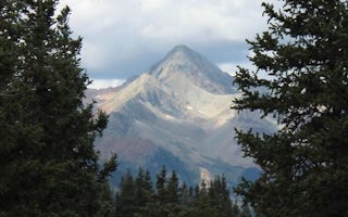
Matterhorn
Overview
Matterhorn Campground is located along the San Juan Skyway (Colorado Highway 145), near the quaint town of Telluride, at an elev...
Rico, Colorado
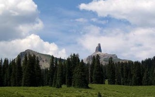
Cayton Campground
Overview
Cayton Campground is located along the San Juan Skyway (Colorado Highway 145) and the Dolores River. Visitors enjoy the area for...
Ridgway, Colorado
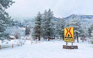
Ouray KOA Holiday
Here along the Uncompahgre River, you're at the gateway to the rugged San Juan Mountains and southwest Colorado's majestic alpine scenery...
Olathe, Colorado
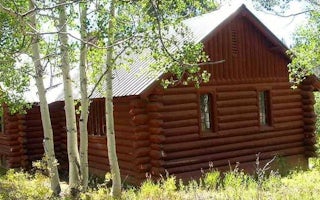
Silesca Cabin
Overview
The historic Silesca Cabin, once used as a Ranger Station, is a semi-rustic dwelling with comfortable modern conveniences like e...
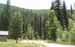
Rico, Colorado
West Dolores Campground
Overview
West Dolores Campground is located on the West Dolores Road (Forest Road 535), which branches north from Colorado Highway 145 ab...
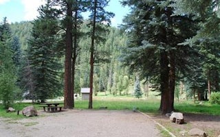
Dolores, Colorado
Mavreeso Campground
Overview
Mavreeso Campground is located on the West Dolores Road (Forest Road 535), which branches north from Colorado Highway 145 about ...


