Minturn, Colorado
Top Spots in and near Minturn
-
Idaho Springs, Colorado
Hike to Loch Lomond
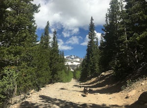
5.04.6 mi / 948 ft gainWhen you start the hike to Loch Lomond, you'll have a few options for parking. The further up the road you go the trickier it's going to be to get back out. I parked at the bottom of the road and hiked my way up. The first mile or two is mostly elevation gain and to be quite honest I thought I wa...Read more -
Idaho Springs, Colorado
Explore 'The Hidden Gems' of Loch Lomond
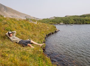
5.04.6 mi / 950 ft gainGetting There From Denver, go W on I-70 and take exit 238 for Fall River Rd. Continue on this road before taking a left on Alice Rd. Continue on Alice Rd. until you see the right hand turn for Steuart Rd. This is where you park. Do not attempt this road in a AWD or 2WD you definitely need a good ...Read more -
Idaho Springs, Colorado
Lower and Upper Chicago Lake
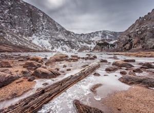
4.59.22 mi / 2270 ft gainFrom the parking lot, stay to the right of Echo Lake and you will run into the Chicago Lakes Trailhead. Follow the switchbacks down and across Chicago Creek. After crossing the creek, follow the sign indicating that the trail follows the dirt road and hang a left; from here, you'll reach the Idah...Read more -
Idaho Springs, Colorado
Explore Echo Lake Park
4.01.2 mi / 88 ft gainLocated at the base of Mt. Evans Road, Echo Lake sits next to Squaw Pass Road, providing a great jumping-off point for numerous adventures. The park serves as a trailhead for hiking or snowshoeing into the Mount Evans Wilderness, offers picnic areas, and includes a nearby campground with 17 site...Read more -
Idaho Springs, Colorado
Hike to Idaho Springs Reservoir
3.9 mi / 800 ft gainThis is a great hiking area an hour outside of Denver, Colorado. It's still easily accessible in the winter and most of the time it can be hiked without snowshoes. Starting at the Echo Lake parking lot, hike around the right side of the lake until you reach a fork in the trail. Follow the path on...Read more -
Evergreen, Colorado
Photograph Ancient Bristlecone Pines on Mt. Goliath
5.0On the way to the summit of Mt. Evans sits a small 160 acre preserve of some of the world's oldest living trees. The Mount Goliath Natural Area protects a rare site of Bristlecone Pines that make excellent photographic subjects.Immediately after parking you're surrounded by a miniature forest ful...Read more -
Evergreen, Colorado
Hike the Resthouse/Lincoln Lake Trail
4.5While the Mt. Evans Wilderness never has a shortage of visitors, thanks to its proximity to Denver, it is possible to find a more private hike if you know where to look. Lincoln Lake Trail, accessible from Echo Lake year-round, is not as glamorous as its sister trail, Chicago Lakes, but is a wond...Read more -
Idaho Springs, Colorado
Hiking James Peak (13,294')
8.3 mi / 3000 ft gainJames Peak is one of 76 13,000'+ peaks in Colorado's front range. On your way up to the peak you will pass St. Mary's Glacier. It is not an actual glacier yet a permeant snow field that is popular among skiers and snowboarders year round. St. Mary's Glaicer is a very popular destination (though m...Read more -
Idaho Springs, Colorado
Hike St. Mary's Glacier
4.32 mi / 467 ft gainJust West of Idaho Springs on I-70 take the St. Mary's Alice Exit. Take a right and stay on the main road and follow the signs for about 8 miles (watch on the right side of the road for a surprise pink pig). There are two parking lots for the trailhead. The larger one is South of the trail and a ...Read more -
Nederland, Colorado
Hike Rollins Pass to Devils Thumb
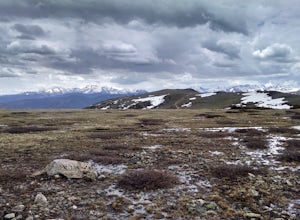
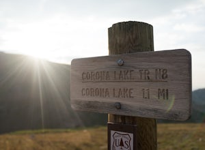
2.1 mi / 622 ft gainCorona Lake is an easy, short hike if you're pressed for time. It's scenic, secluded, and will put you in a great spot to hike to Devils Thumb the next day. There are two ways to reach Devils Thumb. This is considered the "easier" route because of the "lack of elevation gain." The sun and wind re...Read more -
Nederland, Colorado
Heart and Rogers Peak Lakes
4.88.62 mi / 2113 ft gainThe hike begins at the East Portal Trailhead outside Rollinsville. Start hiking along the South Boulder trail to the right (north) of the very obvious Moffat Rail tunnel. The trail begins with moderate grades past the Forest Lakes cutoff just 1.25 miles from the trailhead. Continue hiking straigh...Read more -
Nederland, Colorado
3 Crater Lakes via South Boulder Creek
5.06.92 mi / 1804 ft gainAfter turning on to Co. 16 (Tolland Rd.) from 119 at Rollinsville, drive about 8 miles down the dirt road along South Boulder Creek. The road will dead end at Moffat Tunnel where you'll find ample parking in a gravel lot with restrooms. You'll begin your hike along sweeping meadows until you ent...Read more -
Nederland, Colorado
Upper Forest Lakes Trail
7.86 mi / 1778 ft gainUpper Forest Lakes Trail is an out-and-back trail that takes you by a river located near Rollinsville, Colorado.Read more -
Glenwood Springs, Colorado
Relax at Glenwood Hot Springs
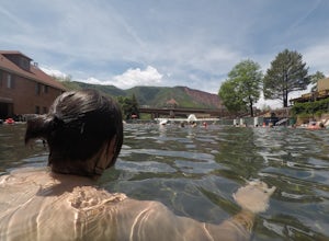
4.5Glenwood is best known for its large hot springs pool, kept between 90 and 93 degrees, while the minerals in the water are meant to provide a natural therapy to the body. There is also a smaller therapy pool, at 104 degrees, and a spa, as well. You'll find all the amenities you need here, and wi...Read more -
Garfield County, United States
Hike the Devil's Causeway Loop
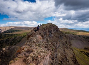
5.010.5 mi / 1550 ft gainCrossing the Devil's Causeway is a rite of passage for Colorado hikers. The dramatic exposure will terrify some and exhilarate others, but the loop offers much more than the short rocky expanse that's the draw for most people.The Approach: From the trailhead at Stillwater Reservoir, the East Fork...Read more -
Nederland, Colorado
Explore the Historic Railroad Route up Rollins Pass
5.0Rollin's Pass Road is a dirt road that follows an old railroad route from the historic town of Tolland, over the Continental Divide, and into Fraser. The road no longer allows you to drive over the summit, due to a partial tunnel collapse, but the road still takes you to within a short hike of th...Read more

