Loveland, Colorado
Top Spots in and near Loveland
-
Walden, Colorado
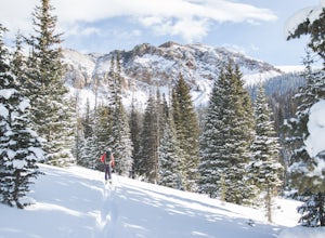
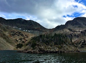
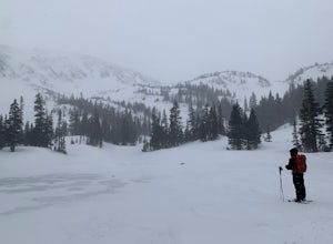
Cross-Country Ski to American Lakes
4.012 mi / 800 ft gainWARNING! AVALANCHE DANGER!Make sure you have avalanche safety knowledge and equipment. This route enters avalanche terrain.If you are looking for one of the ultimate cross-country ski treks along the northern Front Range, look no further. This trip takes you to the American Lakes at the base of t...Read more -
Walden, Colorado
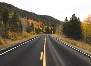
View Fall Color on Cameron Pass
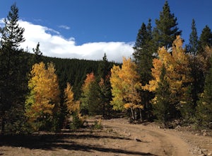
From the front range, drive west of Fort Collins, Colo. on Highway 14 towards Walden, Colo. When you enter Highway 14 from Fort Collins, look for Ted's Place. Ted's is a gas station and convenient store, stop here to hit the bathroom, fill up on gas, and grab some snacks. There will be very few f...Read more -
Walden, Colorado
Backcountry Ski or Snowboard at Cameron Pass
To get to Cameron Pass, drive west out of Fort Collins from Highway 287, to Highway 14, into Poudre Canyon. Take the drive all the way through Poudre Canyon, and soon you will climb out of the canyon and towards the continental divide at Cameron Pass. Once you see the sign at the top of the pass ...Read more -
Walden, Colorado
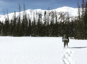
Snowshoeing at Blue Lake near Cameron Pass
10 mi / 1500 ft gainWhile the trail does have quite a bit of elevation gain you don't really feel it since it is dispersed among five miles of trail. The first part of the trail is a wider road with a few look out points of nearby Chambers Lake. About two miles in you reach the end of the National Forest area. From ...Read more -
Kremmling, Colorado
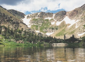
Hike to Lake Agnes
3.01.6 miIn State Forest State Park, you start at Agnes Cabin, a historic cabin built in 1925. Because of its rustic architecture, it is listed on the National Register of Historic Places by the United States Department of the Interior. It is a one-story, lodge pole pine log cabin. The cabin is empty, bu...Read more -
Golden, Colorado
Hike Mount Galbraith
5.05.8 mi / 1247 ft gainStarting at roughly 6,000 ft. this hike will take you to the Mount Galbraith Loop Trail that circles the summit of the Mountain which peaks at 7,247 ft. Getting there is very simple, from State Highway 93, take Golden Gate Canyon Road west approximately 1.5 miles to the parking area and trailhea...Read more -
Walden, Colorado
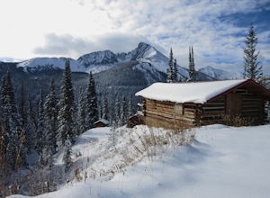
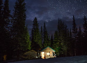
Overnight at Nokhu Hut
5.03 mi / 540 ft gainThe Nokhu Hut is part of the Never Summer Nordic Hut system, and makes for the perfect beginner Hut trip. The Hut has a stocked kitchen, wood shed, and small wood burning stove that keeps the tiny hut toasty warm.From the Hut, it is a short, easy hike to Lake Agnes - the trail often stays snowy u...Read more -
Grand Lake, Colorado
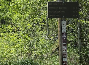
Doe Creek Trail
7.13 mi / 1617 ft gainDoe Creek Trail is a loop trail that takes you by a lake located near Granby, Colorado.Read more -
Grand Lake, Colorado
Camp at Stillwater Pass
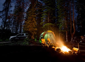
4.6Some of my best nights in Colorado were spent in Stillwater Pass. There are numerous campsites with remade fire pits. I found this site when the Timber Creek Campground in Rocky Mountain National Park was full and I did not want to head back to Denver. There is a photo of a white plastic horse a...Read more -
Nederland, Colorado
Explore the Historic Railroad Route up Rollins Pass
5.0Rollin's Pass Road is a dirt road that follows an old railroad route from the historic town of Tolland, over the Continental Divide, and into Fraser. The road no longer allows you to drive over the summit, due to a partial tunnel collapse, but the road still takes you to within a short hike of th...Read more -
Golden, Colorado
Hike South Table Mountain
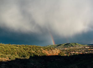
4.03.3 mi / 1500 ft gainWant to see a rainbow? Possibly some coyotes or other Colorado wildlife?This hike is full of twists and turns, mostly involving the trail, but also in surprises along the way.Drive into downtown Golden (grab some food if you're hungry) and then park at the base of the Golden Summit trail. Startin...Read more -
Denver, Colorado
Westerly Creek Trail
2.25 mi / 105 ft gainWesterly Creek Trail is an out-and-back trail that is good for all skill levels located near Denver, Colorado.Read more -
Nederland, Colorado
Upper Forest Lakes Trail
7.86 mi / 1778 ft gainUpper Forest Lakes Trail is an out-and-back trail that takes you by a river located near Rollinsville, Colorado.Read more -
Nederland, Colorado
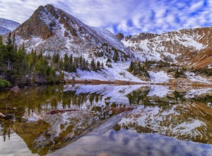
3 Crater Lakes via South Boulder Creek
5.06.92 mi / 1804 ft gainAfter turning on to Co. 16 (Tolland Rd.) from 119 at Rollinsville, drive about 8 miles down the dirt road along South Boulder Creek. The road will dead end at Moffat Tunnel where you'll find ample parking in a gravel lot with restrooms. You'll begin your hike along sweeping meadows until you ent...Read more -
Nederland, Colorado
Heart and Rogers Peak Lakes
4.88.62 mi / 2113 ft gainThe hike begins at the East Portal Trailhead outside Rollinsville. Start hiking along the South Boulder trail to the right (north) of the very obvious Moffat Rail tunnel. The trail begins with moderate grades past the Forest Lakes cutoff just 1.25 miles from the trailhead. Continue hiking straigh...Read more -
Nederland, Colorado
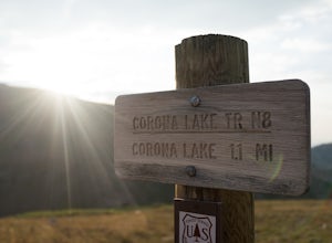
Hike Rollins Pass to Devils Thumb
2.1 mi / 622 ft gainCorona Lake is an easy, short hike if you're pressed for time. It's scenic, secluded, and will put you in a great spot to hike to Devils Thumb the next day. There are two ways to reach Devils Thumb. This is considered the "easier" route because of the "lack of elevation gain." The sun and wind re...Read more

