Loveland, Colorado
Looking for the best running in Loveland? We've got you covered with the top trails, trips, hiking, backpacking, camping and more around Loveland. The detailed guides, photos, and reviews are all submitted by the Outbound community.
Top Running Spots in and near Loveland
-
Loveland, Colorado
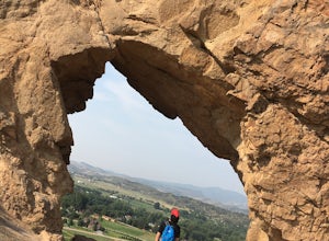
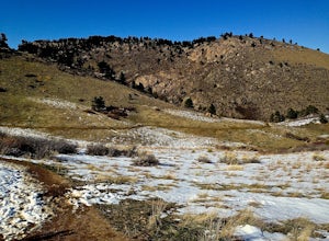
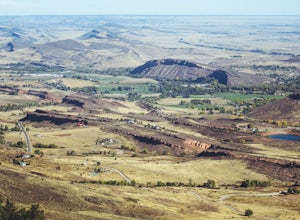
Hike the Devil's Backbone in Colorado
4.32.5 miThe Devils Backbone Open Space offers great hiking in the Front Range foothills. The main feature is the rock formation running along the western boundary of the park, but the open space also supports a large wildlife and plant population. Here, you'll find great opportunities for year-round hiki...Read more -
Fort Collins, Colorado
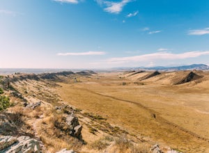
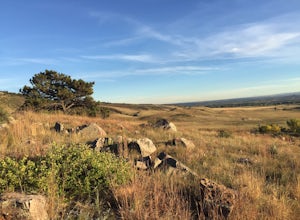
Hike the Coyote Ridge Trail
1.03 mi / 550 ft gainThe Coyote Ridge Natural Area is one of several Larimer County "gateway" preserves and Open Lands that lead into the Front Range of the Rocky Mountains, connecting the shrublands of the Great Plains to the Rocky Mountain themselves through a network of trails, parks, and preserves. The Coyote Rid...Read more -
Loveland, Colorado
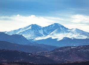
Climb Green Ridge in the Roosevelt National Forest
9.8 mi / 2400 ft gainGreen Ridge is a fantastic series of summits in the Front Range that make for excellence training hikes, but is often forgotten as it lies outside of the nearby Bobcat Ridge Natural Area and just inside of Roosevelt National Forest. The summit itself at 7,402' is fantastic, featuring a nearly 900...Read more -
Fort Collins, Colorado
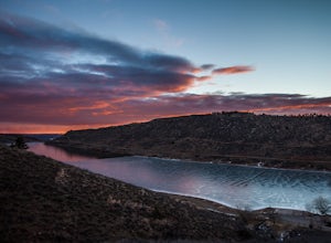
Hike to Horsetooth Rock
4.55 mi / 1440 ft gainThe Horsetooth Mountain Park Open Space is located just 4 miles from Fort Collins. The 2,886 acre park offers 29 miles of hiking, biking, and horse back riding trails.Having taken both the multi use trail and the hiking only trail, I recommend the hiking only. This trail offers you the views and ...Read more -
Fort Collins, Colorado
Hike to Horsetooth Falls
4.52.22 mi / 101 ft gainHorsetooth Mountain Park is an outdoor trail haven just minutes from downtown Ft. Collins. The 2711 acre area has 29 miles of trails of varying length and difficulty for all levels of adventurers to explore. Horsetooth Falls is one of the shortest (yet stunning) trails in the area. This hike is i...Read more -
Windsor, Colorado
Windsor Lake Loop Trail
4.02.28 mi / 36 ft gainWindsor Lake Loop Trail is a loop trail that takes you by a lake located near Windsor, Colorado.Read more -
Fort Collins, Colorado
Horsetooth Reservoir North Foothills Trail
2.64 mi / 295 ft gainHorsetooth Reservoir North Foothills Trail is a loop trail that takes you by a waterfall located near Fort Collins, Colorado.Read more -
Fort Collins, Colorado
Hike Arthur's Rock in Lory State Park
4.83.7 mi / 1150 ft gainThe climb to the summit of Arthur's Rock in Lory State Park provides relative isolation and solitude just 30 minutes from downtown Fort Collins along with great hiking, trail running, mountain biking, rock climbing, and horseback riding.Arthur's Rock Trail is the most direct route to the summit, ...Read more -
Longmont, Colorado
Hike or Trail Run on Rabbit Mountain, CO
4.03.95 mi / 472 ft gainThis is a great hike/trail run in Boulder County. It is located between Longmont and Lyons and is part of Boulder County Open Space. Rabbit Mountain has over 5 miles of trails and 2,733 acres of beautiful open space. The views are incredible as most of your hike you are looking out at the entire ...Read more -
Longmont, Colorado
McIntosh Lake Loop
4.53.6 mi / 72 ft gainMcIntosh Lake is in northwest Longmont. The 3.6-mile loop extends all the way around the lake, with the first half being on a paved cement trail with neighborhood playgrounds, basketball, volleyball, and a seasonally open restroom. The trail turns to dirt on the western half of the loop, and here...Read more -
Fort Collins, Colorado
North Shield Pond Trail
3.01.54 mi / 43 ft gainNorth Shield Pond Trail is a loop trail where you may see beautiful wildflowers located near Fort Collins, Colorado.Read more -
Fort Collins, Colorado
Hike the North Loop via Foothills Trail
5.06.5 mi / 700 ft gainDespite its singular name, the Foothills Trail in Fort Collins is an interconnected series of trails that follows the ridges and hogsbacks which comprise the majority of the eastern side of the Horsetooth Reservoir. The trail can be accessed at several points along its length (by trails also call...Read more -
Fort Collins, Colorado
Fat Tire Bike the Foothills Trail
5.08.5 mi / 1000 ft gainThe Reservoir Ridge and Foothills trail system around Horsetooth Reservoir and Fort Collins is excellent for mountain biking, trail running, and hiking. During the winter it is particularly great for fat tire mountain biking, and the Foothills Trail is one of the best. The trail itself is roughly...Read more -
Lyons, Colorado
Hike the Kruger Rock Trail
4 mi / 1000 ft gainCutting through the forested hills surrounding Estes Valley, the Kruger Rock Trail is a well-marked 4 mile loop to the top of Kruger Rock. The trail begins in Hermit Park Open Space, located just a few miles southeast of Estes Park and is a moderate hike with around 1000 feet of elevation gain. C...Read more -
Bellvue, Colorado
Hike the Black Powder Trail
1.5 mi / 450 ft gainThe Gateway Natural Area, part of the City of Fort Collins public lands system, is a wonderful (and close to the city) place to begin exploring the many outdoor assets and activities found in the greater Fort Collins area. The Black Powder Trail is a relatively easy, well-marked 1.5 mile out and ...Read more -
Estes Park, Colorado
Lumpy Ridge to Gem Lake
4.33.12 mi / 950 ft gainBegin by parking at the Lumpy Ridge trailhead, which is a couple miles outside of Estes Park on McGregor Avenue. At the trailhead, there are numerous signs indicating hiking trails, climbing routes, and other information about the area. After parking start hiking on the trail to the right of the ...Read more

