Larkspur, Colorado
Looking for the best photography in Larkspur? We've got you covered with the top trails, trips, hiking, backpacking, camping and more around Larkspur. The detailed guides, photos, and reviews are all submitted by the Outbound community.
Top Photography Spots in and near Larkspur
-
Manitou Springs, Colorado
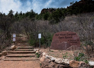
Hike Palmer Trail Loop at Section 16
5.5 mi / 1400 ft gainThe Section 16 trailhead can be found on lower Gold Camp Road. Almost immediately, the trail begins to rise in elevation. The grade is gentle at first but soon becomes a steep steady climb for about a mile and a half, until you reach the ridge. Along the way, you will see many intersecting trail...Read more -
Conifer, Colorado
Elk Falls Loop
3.512.76 mi / 1893 ft gainBegin on Staunton Ranch Trail for 3.3 miles. Switch to Bugling Elk Trail for the next 1.1 miles, then to Lion's Back Trail for the last mile to the overlook. From here, you can create the loop by backtracking to the Chimney Rock Trail, which then connects with the Elk Falls Trail. To head back to...Read more -
Denver, Colorado
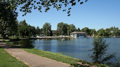
Washington Park Loop
2.34 mi / 72 ft gainWashington Park in located near Denver South High School is the perfect spot for a run, walk, or an afternoon picnic! This paved loop is just over 2 miles and offers up scenic views of both Grasmere Lake and Smith Lake. This is also a family-friendly destination with a playground for the kids and...Read more -
Florissant, Colorado
See the Stars at Florrisant Fossil Beds
While Florrisant is known mostly for its history and collection of fossils, it is also one of the darkest places in the Colorado Springs area. While the park closes daily at dusk, it has Night Sky Programs monthly which allows visitors to view the stars with the help of the Colorado Springs Astr...Read more -
Divide, Colorado
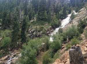
Hike to Horsethief Falls and Pancake Rocks
4.87.6 mi / 1400 ft gainHorsethief Falls and Pancake Rocks can be found on the west side of Pikes Peak, so if you want to get away from the crowds and the city, put this trail on your to do list.Most of the trail runs through the forest, which makes this an excellent candidate for hiking in July and August when the summ...Read more -
Divide, Colorado
Snowshoeing to Sentinel Point
8 miSentinel Point is an appropriately-named 12,527-foot rockpile standing watch over the broad shoulder of the Pikes Peak massif. Rarely visited, especially in winter, you are almost guaranteed solitude on this high mountain snowshoeing adventure.Beginning at the Horsethief Park trailhead off CO Ro...Read more -
Colorado Springs, Colorado
Mt. Cutler Trail
5.01.79 mi / 561 ft gainThis is a quick hike to add to the list if you're making a trip to the Cheyenne Canon area. Parking is limited to about 15 cars and fills up fast so be sure to start early or the first part of your hike might start from a further parking or pull-off along the road. This is the same parking lot a...Read more -
Colorado Springs, Colorado
Mt. Muscoco Trail
4.83.66 mi / 1453 ft gainThe Basics: Mt. Muscoco (8020 ft.) is one of the easier summits in the Colorado Springs Front Range area, and you are quickly rewarded with 360 degree views after climbing 1.8 miles and 1,400 feet. The path is well-defined and maintained after it was reconstructed in 2015. Pack water and a light ...Read more -
Colorado Springs, Colorado
Hike the Saint Mary's Falls Trail
5.06 mi / 1500 ft gainThis moderately difficult hike is a total of 6 miles, with a 1500' incline. You start from the parking lot off Gold Camp Road that intersects with High Drive, and start hiking up the part of Gold Camp Road that is closed off to vehicles. You will see a few trails stemming off from this main road,...Read more -
Colorado Springs, Colorado
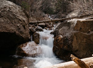
Hike the Seven Bridges Trail
4.04.75 mi / 1600 ft gainFollow North Cheyenne Creek through the canyon as it forms several cascades along the way. Due to water levels, spring is an especially good time for this hike. Most turn around just past the seventh bridge, where the trail starts to disappear.Read more -
Colorado Springs, Colorado
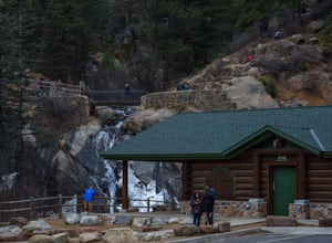
Helen Hunt Falls & Silver Cascades
4.00.65 mi / 272 ft gainPark at the log-cabin visitor's center on North Cheyenne Canyon Rd just before it turns into Gold Camp Rd. I definitely recommend arriving early, as the parking lot fills up quickly. Helen Hunt Falls is in sight of the parking area, and another 1/3 mile past that you'll run into Silver Cascades. ...Read more -
Jefferson, Colorado
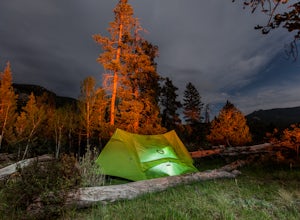
Backpack Lost Creek
4.05 miI included a trail map of where I camped. There are many sites all throughout this area. From the Lost Park Campground Parking lot follow the Lost Creek for 2.4 miles. At the 1 mile mark was the best place that we found to cross the creek (there are two logs that make a bridge across the creek). ...Read more -
Morrison, Colorado
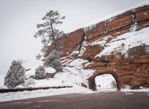
Explore Red Rocks Park in Winter
4.3Red Rocks is a bustling park in the summer when its famous amphitheater is filled with concerts. In winter though, the park dies down and becomes even more quiet when snow is falling. Grab your camera and head to the park during a winter storm to truly enjoy the beautiful red sandstone formations...Read more -
Lakewood, Colorado
Green Mountain Mountain Bike Loop
4.06.9 mi / 1047 ft gainSkip the bar and spend happy hour hiking/biking this fun and easy loop. With convenient access from the Denver-Metro Area, this spot is perfect for a quick ride after work, or hike with your dog. The park has three parking lots, and the trail can be completed as a loop system (in either directio...Read more -
Evergreen, Colorado
Pence Park's Independence Mountain Trail
4.42.09 mi / 869 ft gainPence Park, part of the Denver Mountain Parks system, is nestled between the mountain communities of Indian Hills and Kittredge on Myers Gulch Road. It's one of those places I always drove right past without bothering to check it out. From the road, it looks the same as any other place in the foo...Read more -
Evergreen, Colorado
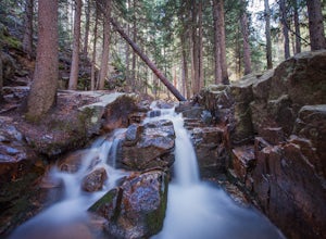
Maxwell Falls
3.43.95 mi / 928 ft gainLocated just outside of Evergreen, this beginner hike is a great escape from the city for a few hours. There are three different options to hike to the falls: Maxwell Falls Lower Trail (4 miles), Upper Maxwell Falls Trail (1.1 miles), and Maxwell Falls Bluffs Cliffside Trail Loop (5 miles). On th...Read more

