Colorado
Looking for the best hiking in Colorado? We've got you covered with the top trails, trips, hiking, backpacking, camping and more around Colorado. The detailed guides, photos, and reviews are all submitted by the Outbound community.
Top Hiking Spots in and near Colorado
-
Idaho Springs, Colorado
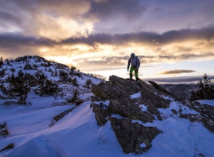
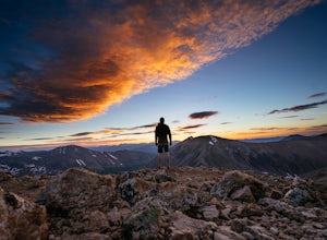
Hike Chief Mountain, CO
4.54 mi / 1100 ft gainSitting at 11,709’, Chief Mountain is not one of Colorado’s highest peaks, but the views from this mountain are spectacular nonetheless and rival the views of any 14er I’ve climbed. This mountain sits along Squaw Pass Road so you get the luxury of a high trailhead for this peak.To get there, foll...Read more -
Estes Park, Colorado
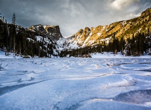
Catch a Sunrise at Dream Lake
4.92.2 mi / 402 ft gainBegin at the Bear Lake Trailhead, located at the end of Bear Lake Road, 9 miles from the entrance on Highway 36. Follow the signs to Dream Lake, passing Nymph Lake about halfway through. At 1.1 miles you will reach Dream Lake. The views of 12,713-foot Hallett Peak and 12,324-foot Flattop Mountain...Read more -
Breckenridge, Colorado
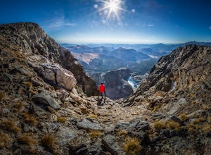
Winter Hike to Quandary Peak (14,265')
4.67 mi / 3500 ft gainQuandary Peak is a popular winter 14er because of its easy access near Breckenridge, its Class 1 designation, and its low avalanche risk. While the access roads to many 14ers are closed in winter, adding extra mileage to an already grueling hike, Quandary Peak’s access is just off Hwy. 9, and the...Read more -
Vail, Colorado
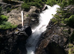
Hike to Booth Falls and Booth Lake, CO
5.010 mi / 3000 ft gainThis day hike begins as a steady climb through aspen trees for the first mile. The trail then flattens out a bit, and you reach Booth Falls at mile two. This is a beautiful 60 ft waterfall that allows for easy rock climbing and hiking through the stream upstream of the falls. This is also a popul...Read more -
Calhan, Colorado
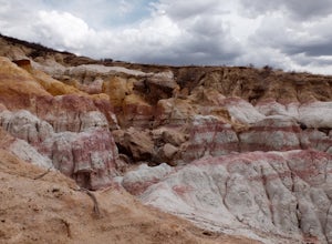
Hike the Paint Mines Interpretive Space Loop
4.54 mi / 200 ft gainThe site is an easy drive from Colorado Springs on US Route 24. There are three parking areas: the west and south parking areas are trailheads, and there is additional parking on the west side for a scenic overlook. The overlook does not attach to any trails.Through several loops, there are up to...Read more -
Leadville, Colorado
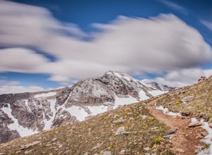
Decalibron Loop (CLOSED)
4.87.5 mi / 3000 ft gainNOTE: As of March 2023, access to parts of this loop that are on private property (including Mt. Democrat & Mt. Lincoln) are closed to the public indefinitely. (Source) Start your hike at the Kite Lake trailhead, where you can find overnight camping for a small fee, or park a bit down the ro...Read more -
Silverthorne, Colorado
South Willow Falls
4.66.17 miStart at the Willowbrook Trailhead. You’ll hit a “Y” in the trail pretty quickly - go left and you’ll soon be at the first log bridge. There are quite a few water crossings on the trail, but they are easy to maneuver. After hiking in the Willow Creek Open Space for a bit, you’ll enter Eagle’s Ne...Read more -
Estes Park, Colorado
Hike The Mummy Kill (a.k.a. Mummy Mania)
14.31 mi / 5600 ft gainWanna kill some mummies!? Of course you do! Who doesn't? Mount Chapin: 12,454 feet; Mount Chiquita: 13,069 feet; Ypsilon Mountain: 13,514 feet; Fairchild Mountain: 13,502 feet; Hagues Peak: 13,560 feet; Mummy Mountain: 13,425 feet The Mummy Kill is the perfect all-day hike for those seasoned h...Read more -
Boulder, Colorado
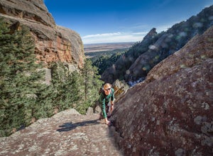
Scramble Angel's Way
5 mi / 1000 ft gainAngel's Way is an amazing 8 pitch rock climb scramble (5.2) that is tucked away in Skunk Canyon, hidden from the crowds of Chautauqua. The best part of this scramble is you only need your climbing shoes and chalk-bag. It is similar to the 'Free Way' on the Second Flatiron. I would encourage ev...Read more -
Aspen, Colorado
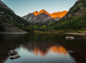
Car Camp at Maroon Lake
5.00.3 mi / 0 ft gainMaybe you've seen the photos a million times before - it's for good reason. Maroon Bells is just stunning. Watching the first rays of sunlight scratch the very top of Maroon Bells and slowly crawl their way down the massive slabs of granite is simply a must for the checklist. Taking in the sunris...Read more -
Snowmass, Colorado
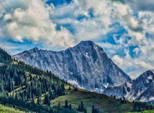
Capitol Lake via Capitol Ditch
5.012.28 mi / 2575 ft gainThe route to Capitol Lake is fairly straightforward, but not without its minor hardships. The route begins at the end of Capitol Creek Road, 9 miles from the small "town" of Snowmass (NOT Snowmass Village - that's the high-class ski resort). The last few miles of this road provide the first min...Read more -
Idaho Springs, Colorado
Hiking James Peak (13,294')
8.3 mi / 3000 ft gainJames Peak is one of 76 13,000'+ peaks in Colorado's front range. On your way up to the peak you will pass St. Mary's Glacier. It is not an actual glacier yet a permeant snow field that is popular among skiers and snowboarders year round. St. Mary's Glaicer is a very popular destination (though m...Read more -
Ouray, Colorado
Backpack to Dragon's Back via Horsethief Trail
5.016 mi / 3520 ft gainThe Uncompahgre Wilderness stretches out through the mountains and forests of southwestern Colorado, with worn trails lingering beside abandoned 19th-century mines and crossing old alpine sheep pastures. Dragon's Back is the unofficial name for Point 12,968', a small but beautiful summit at the b...Read more -
Nederland, Colorado
Hike the Arapaho Traverse
8.3 mi / 3500 ft gainBegin at the Fourth of July Trailhead. Day parking is free and overnight parking is $5. Fourth of July is a popular trailhead and to ensure parking, you should arrive early in the morning (6am-ish... cause, I mean, you gotta 7 hour day in front of you). Follow the Fourth of July trail from the ...Read more -
Divide, Colorado
Hike to Raspberry Mountain
5.05.2 mi / 900 ft gainTake US-24 west and turn left at traffic light in Divide. Drive south on US-67 for about 4 miles. Turn left to CR-62 right after you pass the entrance to Mueller State park on the right. Drive about a mile on the dirt road and you will see the new trailhead parking lot on the left side.Once you p...Read more -
Durango, Colorado
Backpack to Island Lake
5.08 mi / 3000 ft gainFrom the Ice Lakes basin Trailhead, this 8 mile round trip trail with 3000 feet of elevation gain will bring you to the Ice Lakes Basin with an abundance of beautiful lakes, especially Island Lake and Ice Lake. We camped on a little shelf above Island Lake, but you can camp anywhere you find a ni...Read more

