Colorado
Looking for the best hiking in Colorado? We've got you covered with the top trails, trips, hiking, backpacking, camping and more around Colorado. The detailed guides, photos, and reviews are all submitted by the Outbound community.
Top Hiking Spots in and near Colorado
-
Estes Park, Colorado
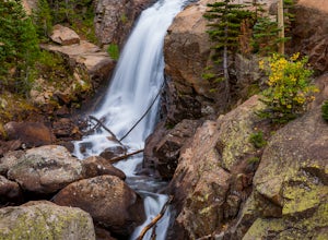
Alberta Falls Trail
4.01.66 mi / 200 ft gainHeading into the park from Beaver Meadows Entrance Station turn left at the first road in .2 miles. Follow Bear Lake Road for 8 miles until reaching the Glacier Gorge parking area on the left. Take the trail from the parking area and follow it to the intersection with the Sprague Lake Trail. Stay...Read more -
Ouray County, Colorado
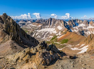
Mount Sneffels via Yankee Boy Basin
5.01.94 mi / 1581 ft gainThe most common route, sometimes called the standard route or the Lavender Col route, begins at or near the top of Yankee Boy Basin, just outside of Ouray. Take the Camp Bird Road as far as you can, though be warned that the last few miles of the road are extremely rough and should only be attem...Read more -
Evergreen, Colorado
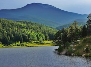
Private and Tranquil Retreat at Beaver Brook Watershed
4.0Note: This is NOT the Beaver Brook Trail in Genesee Park/Lookout Mountain! If you enjoy the scenery and ambiance of Evergreen, but Evergreen Lake has become too crowded for your tastes, Beaver Brook Watershed (owned by the City of Golden) is an excellent alternative. It’s a small, secluded area a...Read more -
Littleton, Colorado
Winter Hiking and Wildlife in Waterton Canyon
3.712.4 miWaterton Canyon is the beginning of the Colorado Trail which stretches 500 miles from Denver to Durango. Camping is allowed on the Colorado Trail but is not allowed in the first 6 miles section of Waterton Canyon, which is managed by Denver Water. The gravel road is great for running, biking, hi...Read more -
Idaho Springs, Colorado
Hike St. Mary's Glacier
4.32 mi / 467 ft gainJust West of Idaho Springs on I-70 take the St. Mary's Alice Exit. Take a right and stay on the main road and follow the signs for about 8 miles (watch on the right side of the road for a surprise pink pig). There are two parking lots for the trailhead. The larger one is South of the trail and a ...Read more -
Leadville, Colorado
North Mount Elbert Trail
4.59.07 mi / 4432 ft gainStart your trip at the North Elbert Creek trailhead, reached by taking Colorado 300 just south of Leadville, and then a left on County road 11 and a right on Halfmoon Creek road. The dirt road to the trailhead is well traveled. The trail begins from the parking lot and winds upwards past 2 clear...Read more -
Evergreen, Colorado
Pence Park's Independence Mountain Trail
4.42.09 mi / 869 ft gainPence Park, part of the Denver Mountain Parks system, is nestled between the mountain communities of Indian Hills and Kittredge on Myers Gulch Road. It's one of those places I always drove right past without bothering to check it out. From the road, it looks the same as any other place in the foo...Read more -
Twin Lakes, Colorado
Camp at Twin Lakes' White Star Campground
4.5This area is located on the other side of Independence Pass from Aspen, which is only accessible during the summer, or can be reached year-round via Leadville, which is about 20 miles away along Highway 24. From Twin Lakes Village drive approximately 1.5 miles east on Highway 82 and take the exit...Read more -
Golden, Colorado
Hike the Golden Cliffs Trail
5.0From here, you can choose a few different hiking paths. This out-and-back trek starts at the trailhead up and to the left. Along the way you'll pass a bench dedicated to Craig Luebben — a writer, photographer and climbing guide. At this point, you probably haven't even broken a sweat yet. It's ti...Read more -
Nederland, Colorado
Upper Diamond Lake via Fourth of July Trailhead
4.88.12 mi / 2037 ft gainThe trail begins at the 4th of July trailhead, which is located near the Eldora ski area and can be crowded during the summer and weekends. The road is rough in places but passable by any car when dry. From the parking area begin hiking the Arapaho pass trail, which will gently gain elevation thr...Read more -
Durango, Colorado
Camp at South Mineral Campground
4.8Some general notes: South Mineral Campground does not take reservations - all sites are first come first served. There are an assortment of designated areas along South Mineral Road where dispersed camping is allowed so there is plenty of camping in the canyon on all but the busiest days, but y...Read more -
1398 Longs Peak Road, Colorado
Storm Peak and Mount Lady Washington
4.512.57 mi / 5312 ft gainThis adventure began at the Longs Peak trailhead in southeastern Rocky Mountain National Park, Colorado. I followed the Longs Peak trail for 6 miles to the Boulderfield backcountry camping area. This is a fairly steep on-trail climb of 3,360 feet. After setting up camp at 12,760 feet, my partner...Read more -
Fort Collins, Colorado
Hike to Horsetooth Rock
4.55 mi / 1440 ft gainThe Horsetooth Mountain Park Open Space is located just 4 miles from Fort Collins. The 2,886 acre park offers 29 miles of hiking, biking, and horse back riding trails.Having taken both the multi use trail and the hiking only trail, I recommend the hiking only. This trail offers you the views and ...Read more -
Breckenridge, Colorado
Day Hike to Lower & Upper Mohawk Lakes
4.67 mi / 1800 ft gainI recently spent the weekend in Breckenridge, and not being from the area, there was one hike that was on my bucket list: Mohawk Lakes. It didn’t disappoint! In late September, the Breckenridge area is full of gorgeous golden aspen trees, providing spectacular long-range views. In summer, abundan...Read more -
Telluride, Colorado
Alta Lakes Dispersed Camping
4.7Note: Camping is permitted around the lake. There are approximately 20 undeveloped campsites. For more information, head to the US Forest Service website. Camping Facilities20 campsites that are completely undevelopedCamping is permitted at only the designated campsitesPortable toilets are avail...Read more -
Ward, Colorado
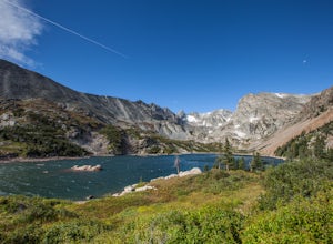
Lake Isabelle via Long Lake Trailhead
4.54.09 mi / 374 ft gainStart at the Pawnee Pass Trail No. 907 Trailhead. Long Lake is about 2 tenths of a mile and Lake Isabelle is 2 miles from the trailhead. Keep an eye out for moose grazing in the bushes or in the water near Long Lake. This is a 4 mile out and back hike with well marked trails. For an 8.75 mile hi...Read more

