Colorado
Looking for the best hiking in Colorado? We've got you covered with the top trails, trips, hiking, backpacking, camping and more around Colorado. The detailed guides, photos, and reviews are all submitted by the Outbound community.
Top Hiking Spots in and near Colorado
-
Boulder, Colorado
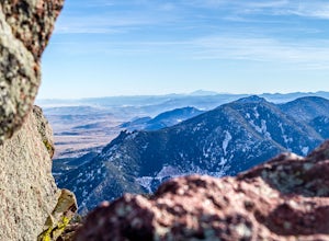
Boulder's Skyline Traverse
5.014.77 mi / 4583 ft gainHave you ever reached the bottom of a hike with some friends and thought, 'That was nice, but I'd still like to hike more... a lot more.'? Then the Skyline Traverse is for you. Instead of hiking just Green Mountain or Bear Peak, the Skyline Traverse links South Boulder Peak, Bear Peak, Green Mou...Read more -
Aspen, Colorado
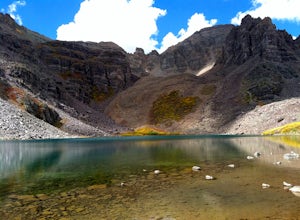
Backpack Cathedral Lake
4.75.6 mi / 2000 ft gainCathedral Lake offers an excellent alternative to escape the crowds that swarm the Maroon Bells area, especially in the peak autumn season. The drive along Castle Creek Rd towards the abandoned ski town Ashcroft is lined with aspens showing off their golden hues. Parking at the trailhead is plent...Read more -
Nederland, Colorado
Backpack to Caribou Lake
4.08.2 miThis is one of the most beautiful hikes I have ever done in Colorado. It is a great trip for photographers, fisherman or anyone who enjoys mountain views, forests filled with wildlife and peaceful meadows. Distances: Arapaho Pass: 3.2 miles, Caribou Lake: 4.2 miles, Caribou Pass: 6.4 miles, Meado...Read more -
Estes Park, Colorado
Lumpy Ridge to Gem Lake
4.33.12 mi / 950 ft gainBegin by parking at the Lumpy Ridge trailhead, which is a couple miles outside of Estes Park on McGregor Avenue. At the trailhead, there are numerous signs indicating hiking trails, climbing routes, and other information about the area. After parking start hiking on the trail to the right of the ...Read more -
Silver Plume, Colorado
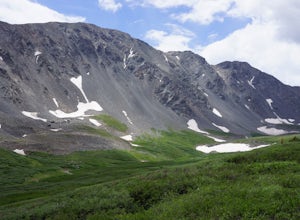
Grays and Torreys Peaks
4.37.97 mi / 3458 ft gainAt about an hour's drive from Denver, Grays Peak (14,270 ft./4338m) and its sister mountain, Torreys Peak (14,267 ft./4337m), are two of the most popular 14ers in the state. Because of this, a wealth of information is available on the internet. Rather than go into all the details of the technical...Read more -
Larimer County, Colorado
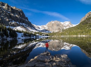
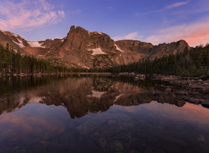
The Loch Vale Hike
5.05.53 mi / 1056 ft gainThe trail starts at the Glacier Gorge trailhead along the road to Bear Lake. After hiking for just under a mile, you'll pass Alberta Falls and continue up the trail through the gorge. At about 2 miles you'll reach a clear junction, with trails towards Mills Lake, Lake Haiyaha, and The Loch. Take ...Read more -
Estes Park, Colorado
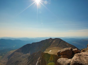
Longs Peak
5.013.3 mi / 5100 ft gainFor the most part, this hike is very straightforward, so I'll essentially skip over the first 5.5 or so miles of the hike, but, in case you don't know: Start (very early so you get a parking spot) from the trailhead right next to the parking lot (the road to it is paved - seriously this mountain...Read more -
Cascade, Colorado
Hike Barr Trail to Pikes Peak Summit
5.012 mi / 7400 ft gainBarr Trail is a 12 mile hike that travels the east face of Pikes Peak, from Manitou Springs (6700’) at the base, to the summit (14,115’). Because there are so many factors that can influence anyone’s experience of the trail (weather, fitness level, time of day, preparedness, etc.), and because ma...Read more -
Morrison, Colorado
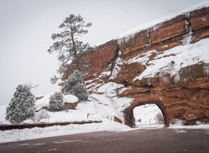
Explore Red Rocks Park in Winter
4.3Red Rocks is a bustling park in the summer when its famous amphitheater is filled with concerts. In winter though, the park dies down and becomes even more quiet when snow is falling. Grab your camera and head to the park during a winter storm to truly enjoy the beautiful red sandstone formations...Read more -
Alamosa County, Colorado
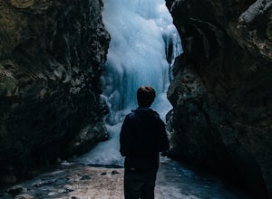
Zapata Falls
4.70.5 mi / 150 ft gainDriving towards the Sand Dunes, you will see a sign marker that indicates the road up to Zapata Falls. Turn right onto the road a follow it for about 2 miles until you hit the parking lot at the top. The road is in pretty rough condition so if your car doesn't have high clearance make sure you ta...Read more -
Idaho Springs, Colorado
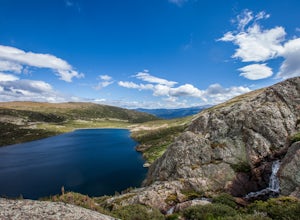
Camp and Fish at Loch Lomond
5.0The trail to Loch Lomond is very rocky. I suggest a high clearance 4x4 vehicle (I did see a small SUV and a Subaru..Not sure how they did it!!!). There are a few campsites at the lake and several along the way. I set up camp by the lake but had to move because the wind was so intense. I recommend...Read more -
Larimer County, Colorado
Lake Helene and Two Rivers Lake
5.06.18 mi / 1230 ft gainBegin the hike by following the Bear Lake trail and after ~.45 miles take the trail to the right towards Odessa Lake and Flattop Mountain. Continue along the trail as it climbs above Bear Lake to the split with the Flattop Mountain trail at approximately 1 mile. The trail continues toward Odessa ...Read more -
Sedalia, Colorado
Hike Devils Head Fire Lookout
4.72.8 mi / 951 ft gainThis is one of my favorite hikes near Denver and the lookout itself is over 100 years old! On the road to the trailhead there are many spots for camping and other activities.From Sedalia, CO head down Highway 67 for about 10 miles. Turn south onto Rampart Range Rd and continue for about 9.5 miles...Read more -
Colorado Springs, Colorado
Hike the Seven Bridges Trail
4.04.75 mi / 1600 ft gainFollow North Cheyenne Creek through the canyon as it forms several cascades along the way. Due to water levels, spring is an especially good time for this hike. Most turn around just past the seventh bridge, where the trail starts to disappear.Read more -
Morrison, Colorado
Hike the Red Rocks Trail
4.06 miWhile this is a 6 mile hike, it is relatively easy to add mileage to it and tailor it to fit your needs. Instead of simply doing the Red Rocks Trail/Morrison Slide loop, you can head all the way to the Village Walk trail in Matthews-Winters. You can also park along Red Rocks Trail Road and elimin...Read more -
Bailey, Colorado
Payne Creek Trail via Brookside McCurdy Trailhead
4.517.98 mi / 3773 ft gainDay 1: Park at the Payne Creek/Brookside Trailhead (8,040 ft.) right outside Bailey. You'll go on the trail for about a mile before the trail parts to Craig Meadows or Craig Park. If you start this in the nighttime, it's best to camp before you part ways on the trail as it's a little more spaciou...Read more

