Hartsel, Colorado
Top Spots in and near Hartsel
-
Frisco, Colorado
Frisco to Vail through Hike
5.013.55 mi / 3430 ft gainStarting at the Meadow Creek Trail head just off the turn off to Frisco this hike connects the stunning Eccles Pass and Gore Creek trails.Passing over Eccles Pass (11,917') and Red Buffalo Pass (11,742') this spectacular hike passes through dense forest, serene lakes and bubbling creeks.The Vail ...Read more -
Frisco, Colorado
Hike to Eccles Pass
10 mi / 3000 ft gainStarting at just over 9,000ft the Meadow Creek trail follows the path of the similarly named Meadow Creek. Through a canopy of aspens and pines the trail climbs at a steady, moderate rate. After a few water crossings the trees give way to an alpine meadow that offer a view of the final approach t...Read more -
Frisco, Colorado
Hike Red Buffalo Pass, Frisco to East Vail
13.2 mi / 3400 ft gainStarting at the Meadow Creek trailhead in Frisco, you'll find yourself ending up in East Vail at Gore Lake Trailhead. See all photos here. The trail in Meadow Creek starts to climb at a gradual pace for the 3-4 miles, after a mile or so, take a look back upon the views of Lake Dillion. You'll ar...Read more -
Frisco, Colorado
Sunset Shots at Lake Dillon
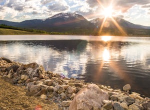
4.3To get to the southern end of the lake from Denver, head west on 70 until you reach 9. Take 9 for a few miles until you find the spot on the lake where you want to get started. On the south side of Lake Dillon, there was an abundance of old stumps lining the beach, which would occasionally drift ...Read more -
Pitkin County, Colorado
Sunset Hike to Twining Peak
4 mi / 1700 ft gainTwining Peak is a ranked 13er located 2 miles north of Independence Pass. The hike involves around 1700 feet of elevation and is mostly off-trail with some class 2 scrambling (class 3 can be had if you look hard enough). Independence Pass is a prominent and popular pass on Highway 82 between Twin...Read more -
Cripple Creek, Colorado
Drive Gold Camp Road
4.35 miGold Camp Road is a road that begins near Bear Creek Regional park. As you drive up the winding road, the road will turn to dirt. Continue driving down the dirt road, turn the corner and BAM, you're hit with some mountain views that will take your breath away. As you continue to drive Gold camp r...Read more -
Colorado Springs, Colorado
Camp along Rampart Range Road
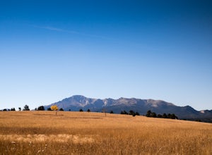
Along Rampart Range Road there are about 30 free BLM camping spots that offer scenic views of Pikes Peak and the surrounding forest. The road in is about 6 miles of gravel, however a 2WD Sedan was able to make the journey just fine! The camping spots are designated by a pre-existing fire ring and...Read more -
Green Mountain Falls, Colorado
Hike Crystal Falls Trail to Crystal Creek Reservoir
5.25 mi / 1750 ft gainThe Basics: The little town of Green Mountain Falls often gets overlooked as motorists speed up Highway 24 to Woodland Park and beyond. However, big hiking opportunities abound here. The town probably has as many miles of hiking trails as it has miles of paved roads! Being on the base of Pikes Pe...Read more -
El Paso County, Colorado
Hike to the top of Castle Rock
5.02 mi / 800 ft gainThe Basics: If you've never been to Green Mountain Falls, you're missing out! This tiny mountain hamlet, just off Hwy 24 before Woodland Park, hosts a vibrant collection of local shops and eateries around its community lake. It is also home to many lesser-known hiking trails, including the H.B. W...Read more -
Littleton, Colorado
Hike the Eagle's View Trail
4.34.3 mi / 900 ft gainReynolds Park is part of the Jefferson County Open Space system. Located a few miles south of Conifer, off Hwy 285 on S. Foxton Road, it is a foothills park geared for families, groups, and the casual hiker. The network of trails on the west side of the road offers hikers and equestrians anything...Read more -
Silverthorne, Colorado
Hike to Old Dillon Reservoir
4.51.7 mi / 137 ft gainToday, Lake Dillon is one of the biggest attractions in the Dillon Valley, attracting boaters, anglers, and campers. However, the large reservoir we know today was not the first one in the area. The Old Dillon Reservoir was built in the 1930s to supply water to the original town of Dillon, which...Read more -
Cascade, Colorado
Photograph Rampart Range Road
4.720 miFrom the starting point near Balanced Rock in Garden of the Gods, Rampart Range Road turns to dirt and begins a steady climb into the foothills west of Colorado Springs. Though dirt, the road is well-graded and perfectly suitable for passenger cars in good weather. As the road climbs, you'll trav...Read more -
Conifer, Colorado
Upper Maxwell Falls Trail
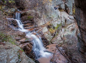
1.11 mi / 135 ft gainUpper Maxwell Falls Trail is an out-and-back trail, which is the shortest and most direct route to Maxwell Falls located near Conifer, Colorado. If you're looking for a little longer trail, check out this Maxwell Falls adventure for a roughly 4-mile loop hike.Read more -
Silver Plume, Colorado
Grays and Torreys Peaks
4.37.97 mi / 3458 ft gainAt about an hour's drive from Denver, Grays Peak (14,270 ft./4338m) and its sister mountain, Torreys Peak (14,267 ft./4337m), are two of the most popular 14ers in the state. Because of this, a wealth of information is available on the internet. Rather than go into all the details of the technical...Read more -
Silver Plume, Colorado
Torrey's Peak via Kelso Ridge
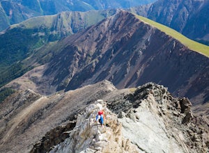
5.05.79 mi / 2982 ft gainThe start of this route up the Kelso Ridge is the same as doing the standard route of Gray's and Torrey's peaks. From the trailhead cross the large metal bridge and continue on the great trail as it slowly climbs away from the parking lot and trailhead. This first section is not steep, but prov...Read more -
Silver Plume, Colorado
Grays Peak Trail
4.57.25 mi / 2995 ft gainThe first challenge you'll face on your way to the summit of Gray's peak is Steven's Gulch Road. My Corolla rolled up to the start of what I’ve seen described as a “4x4 road that should probably not be attempted in a low clearance vehicle”. But what the heck, it was late, and I didn't feel like w...Read more

