Hartsel, Colorado
Looking for the best photography in Hartsel? We've got you covered with the top trails, trips, hiking, backpacking, camping and more around Hartsel. The detailed guides, photos, and reviews are all submitted by the Outbound community.
Top Photography Spots in and near Hartsel
-
Hartsel, Colorado
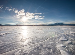
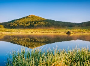
Ice Fishing Antero Reservoir
The Antero Reservoir was the first dam built on the South Platte River. The reservoir is best known for its large rainbow trout and rainbow x cutthroat hybrid trout. It's also home to brown trout, snake river cutthroat trout, cutthroat trout, brook trout, and splake.The earth filled Antero Dam wa...Read more -
Chaffee County, Colorado
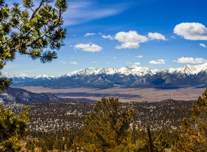
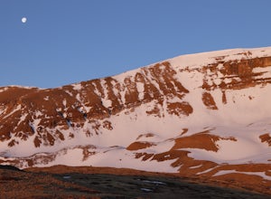
Off-Trail Hike of Limestone Ridge
4.09 mi / 1000 ft gainFinding a winter or early spring adventure that won't take you deep into dangerous mountain territory, while still providing epic vistas, is a challenge in Colorado. There are a few 10,000' tall ranges that sometimes escape deep snow, which are inviting for a first step into the alpine wonderland...Read more -
Buena Vista, Colorado
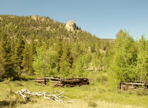
Hike Davis Meadow
5.08.6 mi / 800 ft gainThis is a great hike that is very close to Buena Vista, CO. This trail is on the east side of town and is accessible in the spring. The hardest part of the hike is locating the trail-head. It is located in the northern part of Four Mile Canyon and is in San Isabel National forest. Starting in Bue...Read more -
Lake George, Colorado
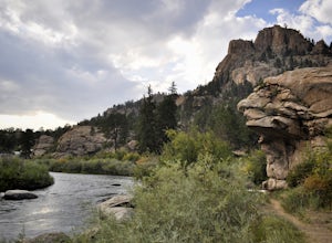
Camp and Fish at Eleven Mile Canyon
4.4Located below the dam of the Eleven Mile Reservoir, Eleven Mile Canyon is a scenic spot for camping, fishing, hiking and climbing. There are four different campgrounds to choose from (Cove, Riverside, Spillway and Springer), though only one campground remains open during the off season. Getting t...Read more -
Hartsel, Colorado
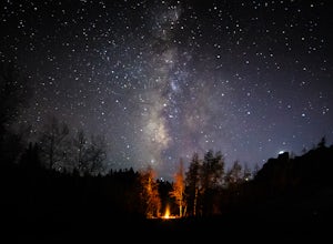
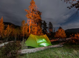
Camp at East Castle Rock Gulch
This is an awesome camp spot for individuals who do not have a 4x4 or AWD and want a secluded getaway! It does require to drive about 3 miles along a dirt road before arriving at the dead end of 188A, but can be easily cleared. From what I could see on the drive in there were only 4 camp spots de...Read more -
Buena Vista, Colorado
Backpack the Buffalo Peaks Wilderness Loop
5.011.7 mi / 2000 ft gainStarting at the Rich Creek Campground this wonderful moderate hike forms a loop by connecting the Rich Creek Trail and the Tumble Creek trail. in the Buffalo Peaks wilderness. Flanked by the Collegiate Peaks, in Spring and Summer the area is awash with rushing creeks, lush wet lowlands & deep...Read more -
Jefferson, Colorado
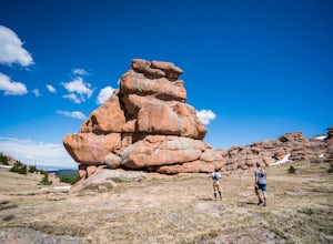
Trek through Granite Pillars on Bison Peak
12.4 mi / 4000 ft gainBison peak sits 2 hours from Denver in the mountains of the Lost Creek Wilderness. To reach the 12,431 ft. summit you'll start in low density ponderosa forest at 8,750 ft on crushed granite trail. Early starts are recommended in the summer months as the trail's high albedo can make for an extreme...Read more -
Fairplay, Colorado
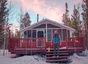
Stay the Night in an Off-Grid Cabin in Fairplay, CO
This will be an amazing experience for anyone that books this cabin, guaranteed. It's the perfect size with a kitchen, living room, bunk beds, and back porch. In addition to the main house there is a tree house that has a couch and a bed in it as well; so the property can host a decent sized grou...Read more -
Fairplay, Colorado
Climb Horseshoe Mountain via Boudoir Couloir
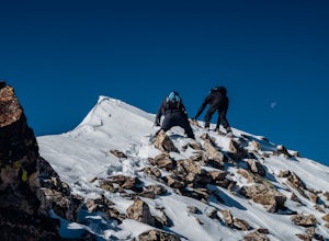
7 mi / 2500 ft gainHorseshoe Mountain is a peak that is ranked in the top 100 tallest peaks in Colorado at 13,898 feet, and it can be done in the summer but is arguably more fun in the spring as a snow climb. Avalanche safety, snow climbing, and snow safety experience is necessary. To get to the trailhead, follo...Read more -
Jefferson, Colorado
Backpack Lost Creek
4.05 miI included a trail map of where I camped. There are many sites all throughout this area. From the Lost Park Campground Parking lot follow the Lost Creek for 2.4 miles. At the 1 mile mark was the best place that we found to cross the creek (there are two logs that make a bridge across the creek). ...Read more -
Sedalia, Colorado
Backpack the Lost Creek Loop
33.5 mi / 6200 ft gainLost Creek Wilderness may be my favorite part of Colorado. It contains varied terrain and geography, and is less crowded than most places. This loop will take you through everything the wilderness area has to offer. You will get sweeping panoramas of mountain ranges to the south, as well has m...Read more -
Sedalia, Colorado
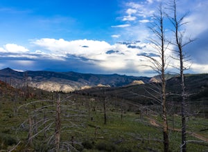
Camp at Goose Creek
3.08 mi / 1300 ft gainGoose Creek is a fantastic spot to hike or camp. There is a dirt road leading to the trailhead, and it winds through the mountains and offers a great view of the valley. The dirt road is relatively easy and well-maintained. The burn scar from the Hayman fire is still really evident, so there are ...Read more -
Breckenridge, Colorado
Discover Ancient Trees on Windy Ridge
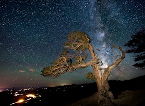
The Windy Ridge Bristlecone Pine Scenic Area is a remote stand of trees off a 4WD road near Alma, Colorado. This grove of bristlecone pines was given protected status in 1964 due to its uniquely shaped trees influenced by the winds blasting off nearby 14er, Mount Bross. The area sits at 11,700 ...Read more -
Jefferson, Colorado
Colorado Trail: Kenosha Pass to FR 130
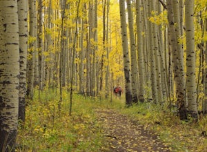
4.66.81 mi / 938 ft gainThe Colorado Trail (http://www.coloradotrail.org) is 500 miles long and stretches from Denver to Durango. Perhaps the most-traveled portion of the Colorado Trail is at Kenosha Pass. Kenosha Pass is well-known for its thick, colorful stands of aspen in the fall. During peak leaf season (late Septe...Read more -
Breckenridge, Colorado
Winter Climb of North Star Mountain
4.08 mi / 2400 ft gainFrom the west parking lot at the top of Hoosier Pass, take the 4x4 road as it climbs through a forest west of the pass. Before long, the trees thin and you'll stay on the road through treeline and reach a gate at just over 12,000 feet.Stay right at the gate and continue on this old mining road as...Read more -
Buena Vista, Colorado
Hike to the Historical Interlaken Resort
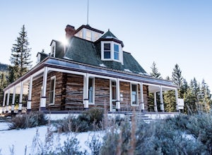
5.06 mi / 500 ft gainFollow Colorado Highway 24 South from Leadville for 14 miles, then turn right onto Colorado 82 towards Aspen. Turn left onto County Road 25, then follow the road for 1 mile to a small parking area for the Colorado Trail. You have arrived!This trail starts near 9,200 feet of elevation and while yo...Read more

