Gypsum, Colorado
Top Spots in and near Gypsum
-
Crested Butte, Colorado
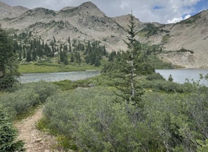
The Copper Creek Trail to Copper Lake
5.011.53 mi / 2264 ft gainThe Copper Creek Trail to Copper Lake is an out-and-back trail that takes you by a waterfall located near Crested Butte, Colorado.Read more -
Leadville, Colorado
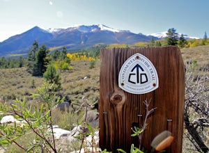
Mountain Bike the Colorado Trail near Mount Elbert
This is the way to see fall colors if you're into empty trails and endorphins. Grind up the trail starting from South Elbert Trailhead. You'll turn right onto the Colorado Trail at .3 miles and stay here for as long as you like, or 7.3 miles to the Mount Elbert Trailhead. Turn around and go back ...Read more -
Silverthorne, Colorado
Ptarmigan Trail
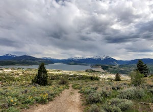
4.57 mi / 1201 ft gainPtarmigan Trail, not to be confused with Ptarmigan Peak, is a 5 mile out-and-back, scenic trail that offers unparalleled vistas of Summit County, Dillon Reservoir and the surrounding mountains(including Quandary Peak, Red Mountain, and the Decalibron Loop). Located just outside of Silverthorne a...Read more -
Swan Mountain Road, Colorado
Sapphire Point Overlook
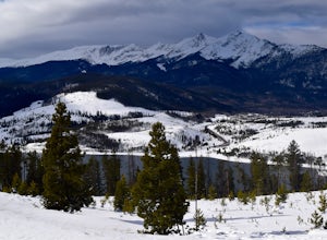
3.30.62 mi / 49 ft gainThis short, 0.6 mile loop hike gives a beautiful view of Lake Dillon and is an easy, family-friendly hike. Dogs are allowed but must be kept on leash. The trail is clear cut and descends a few feet while looping around the side of the mountain to the overlook point. It is definitely a worthwhil...Read more -
Breckenridge, Colorado
Hike to Ski Peak 7 Powder in Breckenridge
5.0Your journey to the deepest powder in Breckenridge begins at the Breckconnect Gondola. If it snowed more than half a foot or it is the weekend you will want to arrive by 8:30 am to secure parking in one of the Gondola Lots.Ride the gondola up to Peak 8. On your way up you will pass over the Cucu...Read more -
Buena Vista, Colorado
Mt. Elbert via Black Cloud Trail
4.510.69 mi / 4967 ft gainDirections: Heading south from Leadville from U.S. 24: West on CO 82 for 10.5 miles to a hidden right turn that leads to a trail head. If you make it to the Mt. Elbert Lodge, you have gone just a bit too far. The parking lot (aka: dirt access) should be relatively empty as everyone tends to hik...Read more -
Buena Vista, Colorado
Camp at Mt. Elbert Forebay Reservoir
5.0At the base of Mt. Elbert there are three campgrounds. One is a National Forest campground - you have to pay for a spot and it is closed from October-May. The other two are first-come, first-serve free campground areas. As you drive past the south trailhead, right before the reservoir, there is a...Read more -
Buena Vista, Colorado
Mount Elbert via the Southeast Ridge Trailhead (Winter Route)
13.48 mi / 4885 ft gainClassic Route to the Summit of Colorado's highest peak Great for All Seasons this is the Recommended Winter Route with minimal Avalanche Danger. Known as the South Mount Elbert trail, the East Ridge trail or a combo of both, this trail is truly beautiful and remote. DIRECTIONS: To reach the t...Read more -
Leadville, Colorado
Decalibron Loop (CLOSED)
4.87.5 mi / 3000 ft gainNOTE: As of March 2023, access to parts of this loop that are on private property (including Mt. Democrat & Mt. Lincoln) are closed to the public indefinitely. (Source) Start your hike at the Kite Lake trailhead, where you can find overnight camping for a small fee, or park a bit down the ro...Read more -
Leadville, Colorado
Mt. Democrat (CLOSED)
4.84 mi / 2150 ft gainNOTE: As of March 2023, access to parts of this loop that are on private property (including Mt. Democrat & Mt. Lincoln) are closed to the public indefinitely. (Source) To begin this wonderful hike, drive from the town of Alma, Colorado and head up Buckskin Street for about 6 miles. I would ...Read more -
Leadville, Colorado
Mounts Democrat, Lincoln, Cameron and Bross (CLOSED)
4.08 mi / 3500 ft gainNOTE: As of March 2023, access to parts of this loop that are on private property (including Mt. Democrat & Mt. Lincoln) are closed to the public indefinitely. (Source) Find your way to the Kite Lake trailhead near Alma, Colorado. The road up to the trailhead is suitable for most vehicles, i...Read more -
Leadville, Colorado
Camp at Kite Lake
5.0Kite Lake is a beautiful little lake that is surrounded plenty of fourteeners. Just outside of Alma, Colorado, Kite lake can be accessed from Buckskin Street. Buckskin is a simple left turn after the only bar in Alma, or a right turn before the only bar in Alma... Do note, this road is not drivab...Read more -
Breckenridge, Colorado
Hike the Sawmill Trail to Fairy Forest
3.01.5 mi / 250 ft gainIf you brought the family to Breckenridge chances are you're probably not bringing the little ones on your next 14'er summit. Are you looking for an easy hike to let the kiddos experience some nature and run around a bit? Well then this short hike is perfect for you and the family. Plus, it's rig...Read more -
Leadville, Colorado
Ski or Snowshoe to the Weston Pass Hut
5.013.4 mi / 2400 ft gainYour trip starts at the winter trailhead for Weston Pass, approximately 6.7 miles from the hut. Depending on road conditions, you may be able to cut off a few miles by driving further up the road.In the summer, you can drive all the way to the hut, and enjoy a great basecamp for hiking and trail ...Read more -
Breckenridge, Colorado
Hike McCullough Gulch to Upper Blue Reservoir
5.02.8 mi / 910 ft gainThe trail first takes you to Upper Blue Reservoir, about 1.4 miles in. Past this point, it can be somewhat tricky to find the trail, but for experienced hikers, the upper valley holds a number of lakes, a waterfall, and open tundra for exploring. Mountain goat sightings are also common in this ar...Read more -
Twin Lakes, Colorado
Camp at Twin Lakes' White Star Campground
4.5This area is located on the other side of Independence Pass from Aspen, which is only accessible during the summer, or can be reached year-round via Leadville, which is about 20 miles away along Highway 24. From Twin Lakes Village drive approximately 1.5 miles east on Highway 82 and take the exit...Read more

