Gypsum, Colorado
Top Spots in and near Gypsum
-
Aspen, Colorado
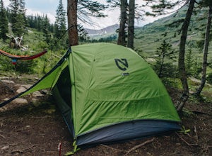
Backpack to Snowmass Creek in the Maroon Bells-Snowmass Wilderness
13 miFor beginner backpackers or just those who can't take off 3-4 days to do the Four Pass Loop, there's still options near the iconic Maroon Bells. If you are planning to do an overnight at the Bells, you need to get there early or late - before 7:30 am or after 5 pm. The overnight lot fills quickl...Read more -
Aspen, Colorado
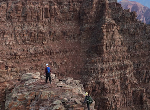
The Maroon Bells Traverse
14 mi / 5000 ft gainI do not want to encourage those who are not capable mentally or physically to go on this hike, that is how accidents happen. Confidence is a must. This route is loose, long, chossy and complicated. The exposure and shear milage covered make for a heck of a day! That being said, I suggest you do ...Read more -
Aspen, Colorado
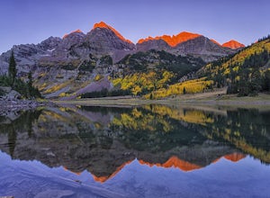
Crater Lake via Maroon-Snowmass Trail
4.63.77 mi / 722 ft gainThe crater lake trail begins at Maroon Lake and quickly breaks off from the scenic trail at .3 miles. Be sure to follow the signs to crater lake, which will be heading higher into the valley. The trail passes through a beautiful Aspen grove most of the way with wonderful views of 14ers, the Maroo...Read more -
Aspen, Colorado
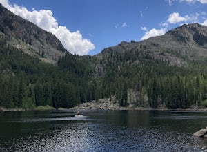
Weller Lake Trail
4.01.17 mi / 312 ft gainWeller Lake Trail is an out-and-back trail that takes you by a lake located near Aspen, Colorado.Read more -
Aspen, Colorado
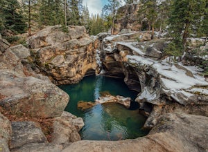
Devil's Punch Bowl
4.7The Roaring Fork River has several little waterfalls that end up in a deep swimming hole called The Devil's Punch Bowl. This is a must-see if you are driving up to the Independence Pass. I have never seen such blue water before (outside of an amusement park). While Driving from Aspen on CO82 to...Read more -
Aspen, Colorado
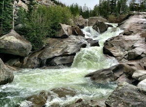
Grottos Trail
5.00.53 mi / 72 ft gainJust nine miles east of Aspen on Highway 82, Independence Pass, are grottos. A grotto is a geological term for a cave or cavern. The Grottos near Aspen were formed by rushing water of the Roaring Fork River. There is only an elevation gain of 300 feet on the three-quarters of a mile loop making...Read more -
Aspen, Colorado
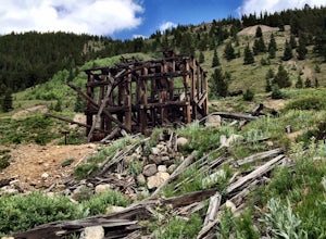
Independence Ghost Town
4.3Back in the late 1800s, Ashcroft, Aspen, and Independence were booming mining town. While Aspen is still thriving today, Ashcroft and Independence are ghost towns. Independence Ghost Town is on Independence Pass, 16 miles east of Aspen on Highway 82. The Farwell Mill sits right along the highwa...Read more -
Rifle, Colorado
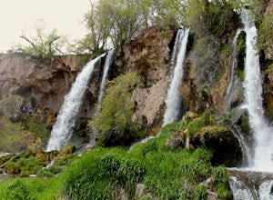
Hike through Rifle Falls State Park
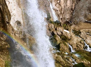
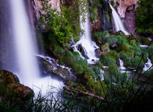
5.01.5 mi / 70 ft gainRifle Falls State Park is situated just 14 miles north east of major Colorado highway I-70. The park offers a wide variety of activities including hiking, fishing, biking, photography, camping, and spelunking (for the especially adventurous).There are several trails at Rifle Falls, the most popul...Read more -
Rifle, Colorado
Rifle Falls
5.00.63 mi / 85 ft gainRifle Falls is a loop trail that takes you by a waterfall located near Silt, Colorado.Read more -
Carbondale, Colorado
Backpack the Lead King Basin Trail
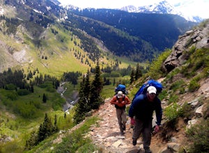
4.5 mi / 2000 ft gainWe began our hike at the beginning of the afternoon after about two-three hours driving up the 14 mile road. The first mile of the trail was mild, turning into an uphill adventure. Lots of switchbacks, winding paths, and some tree coverage. By mile 2, we were on a steep grade the rest of the way....Read more -
Rifle, Colorado
Explore Rifle Falls
4.6RIfle Falls is located up Rifle Canyon just outside of the town of Rifle on I-70 in Southern Colorado. After driving by the sign for this gem many times on my drives from Utah to Colorado I made a short detour to check out the falls and have some lunch.The state park is small with a some short tr...Read more -
Leadville, Colorado
Ski or Snowshoe to Vance's Cabin
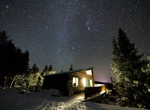
3.1 mi / 750 ft gainVance's Cabin is a private hut near Tennessee Pass booked by the 10th mountain division. The hut was completed in 1988 and sleeps 16; 6 beds upstairs in a loft and 10 bunk beds downstairs in a communal bunked area around the wood stove. It's a compact cabin compared to some of the other huts in...Read more -
Carbondale, Colorado
Hike to Geneva Lake
5.03 mi / 1256 ft gainThis is an intermediate hike with scenic views, even before reaching the lake and waterfall. Note that access to the trailhead does require 4WD, as the final section of road is difficult and steep in sections.Read more -
Turquoise Lake, Colorado
Escape to Turquoise Lake
5.0Turquoise Lake is an 'off the beaten path' gem only 3 hours from the Denver Metro Area. The area surrounding the lake is home to some spacious and tree-shaded campgrounds. If you plan ahead and book early, you'll have your pick of the best spots within close proximity to the lake. The campground ...Read more -
Aspen, Colorado
Hike Lost Man Loop
5.08.8 mi / 1290 ft gainThis 8.8 mile "loop" is not a true loop and the trail ends 4 miles apart along Independence Pass, so a car shuttle is recommended. I would recommend starting at the west trailhead (closer to Aspen) but will describe both trailheads so you can set up another car or shuttle at the other one.1) West...Read more -
Pitkin County, Colorado
Sunset Hike to Twining Peak
4 mi / 1700 ft gainTwining Peak is a ranked 13er located 2 miles north of Independence Pass. The hike involves around 1700 feet of elevation and is mostly off-trail with some class 2 scrambling (class 3 can be had if you look hard enough). Independence Pass is a prominent and popular pass on Highway 82 between Twin...Read more

