Granby, Colorado
Looking for the best backpacking in Granby? We've got you covered with the top trails, trips, hiking, backpacking, camping and more around Granby. The detailed guides, photos, and reviews are all submitted by the Outbound community.
Top Backpacking Spots in and near Granby
-
Granby, Colorado
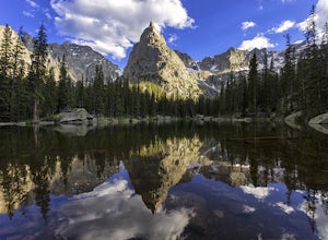
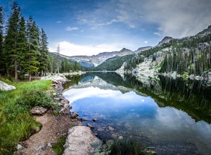
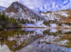
Mirror and Crater Lakes via Cascade Creek Trail
4.614.94 mi / 2421 ft gainStart at the Monarch Lake trailhead (where there is a $5 parking fee unless you have one of the national lands passes) and follow the cascade creek trail around the north side of the lake. After about 1.5 miles the trail splits with the Arapaho pass trail, follow the cascade trail to the left as ...Read more -
Nederland, Colorado
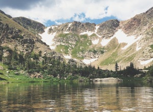
Hike to Columbine Lake
5.07 mi / 1200 ft gainThe hike is about seven miles, give or take, however it feels longer. The elevation gain is little over 1000 feet. The drive here is about 45 minutes from both Granby and Winter Park, and is definitely worth it. You follow a trail dusted with wildflowers for the majority of the hike, and occasio...Read more -
Allenspark, Colorado
Hike to Verna, Spirit, Fourth, and Fifth Lakes
19 mi / 2460 ft gainThis summer backpacking trip provides plenty of opportunities for exploration and endless moments to take in awe-inspiring scenery. On our visit, after setting up camp at the Lake Verna backcountry site, I quickly made my way to the next lake (Spirit Lake) to photograph the sunset. The symmetry a...Read more -
Allenspark, Colorado
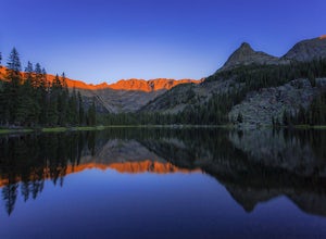
Hike to Spirit Lake
15.8 mi / 2000 ft gainOne can reach spirit lake as a day hike, however it is most often visited as part of backpacking trip. Either way the route is the same and it starts at the East Inlet trail. To park you are supposed to pay or show your park/national lands pass. From the East Inlet trailhead you will soon pass Ad...Read more -
Allenspark, Colorado
Backpack to Lake Verna
5.013.5 mi / 2500 ft gainWant to get away it from it all and enjoy some high alpine lakes? The East Inlet Trail is just outside Grand Lake, on the westside of Rocky Mountain National Park, 2.35 miles east of Highway 34 on West Portal Road. From the trailhead, one can access 8 different campsites. The campsites are as ...Read more -
Grand Lake, Colorado
Backpack the CDT Loop in Rocky Mountain NP
24.3 mi / 4000 ft gainThis section of the CDT begins at the North Inlet trailhead, located on the western side of Rocky Mountain National Park. The trailhead is north of the main town area of Grand Lake. Parking at the trailhead is limited, so hikers can also park along the road leading to the trailhead. The hike foll...Read more -
Fraser, Colorado
Summit Byers Peak
8.8 mi / 2774 ft gainThe drive to the start of the trail is okay, having a high clearance vehicle would make the drive easier, but is not necessary. Free parking is available along the side of the road.The trail starts on a closed service road at a gate and requires you to either hike or bike up the dirt road (2 mil...Read more -
Grand Lake, Colorado
Hike to Big Meadows and Granite Falls
5.010.3 miThe Green Mountain Trail is part of the Continental Divide National Scenic Trail (CDT) which is a foot path from Mexico to Canada. Big Meadows is a great place to view elk, moose, and deer. Other animals you can see in the area are abert squirrels, river otters, weasels, and black bear.Big Meadow...Read more -
Nederland, Colorado
Backpack to Caribou Lake
4.08.2 miThis is one of the most beautiful hikes I have ever done in Colorado. It is a great trip for photographers, fisherman or anyone who enjoys mountain views, forests filled with wildlife and peaceful meadows. Distances: Arapaho Pass: 3.2 miles, Caribou Lake: 4.2 miles, Caribou Pass: 6.4 miles, Meado...Read more -
Nederland, Colorado
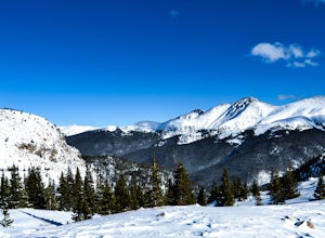
Hike Rollins Pass to Devils Thumb
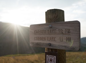
2.1 mi / 622 ft gainCorona Lake is an easy, short hike if you're pressed for time. It's scenic, secluded, and will put you in a great spot to hike to Devils Thumb the next day. There are two ways to reach Devils Thumb. This is considered the "easier" route because of the "lack of elevation gain." The sun and wind re...Read more -
Ward, Colorado
Pawnee & Buchanan Pass Loop
5.026.98 mi / 6978 ft gainBefore you start your trip, get a camping permit from the Boulder Ranger Station. Plan to spend your first night in the Crater Lake BZ (Backcountry Zone), and your second in Buchanan BZ. If you're feeling particularly sedate, you can easily spend a third night in Coney Creek. Start early in the ...Read more -
Lyons, Colorado
Backpack to Red Deer Lake, CO
4.06.4 mi / 1900 ft gainThis is an excellent place to take your family backpacking. It is a fairly easy trail and definitely a great one for kids. Take in the beautiful scenery while hiking through meadows, aspen and pine with incredible mountain views in the Indian Peaks Wilderness. 6.4 miles to Red Deer Lake with an e...Read more -
Nederland, Colorado
Heart and Rogers Peak Lakes
4.88.62 mi / 2113 ft gainThe hike begins at the East Portal Trailhead outside Rollinsville. Start hiking along the South Boulder trail to the right (north) of the very obvious Moffat Rail tunnel. The trail begins with moderate grades past the Forest Lakes cutoff just 1.25 miles from the trailhead. Continue hiking straigh...Read more -
Nederland, Colorado
3 Crater Lakes via South Boulder Creek
5.06.92 mi / 1804 ft gainAfter turning on to Co. 16 (Tolland Rd.) from 119 at Rollinsville, drive about 8 miles down the dirt road along South Boulder Creek. The road will dead end at Moffat Tunnel where you'll find ample parking in a gravel lot with restrooms. You'll begin your hike along sweeping meadows until you ent...Read more -
Nederland, Colorado
Upper Forest Lakes Trail
7.86 mi / 1778 ft gainUpper Forest Lakes Trail is an out-and-back trail that takes you by a river located near Rollinsville, Colorado.Read more -
Winter Park, Colorado
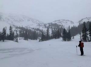
Snowshoe to Broome Hut
1.5 mi / 729 ft gainTake I-70 from Denver and then US 40, go all the way to Mile marker 240 of US 40 and park in the area at the side of the road. The Second Creek trail head is just behind the parking area and is easy to find.The trail climbs from a start at 10,600ft and finishes up at 11,325ft at the hut, but you ...Read more

