Florissant, Colorado
Looking for the best hiking in Florissant? We've got you covered with the top trails, trips, hiking, backpacking, camping and more around Florissant. The detailed guides, photos, and reviews are all submitted by the Outbound community.
Top Hiking Spots in and near Florissant
-
Manitou Springs, Colorado
Hike Palmer Trail Loop at Section 16
5.5 mi / 1400 ft gainThe Section 16 trailhead can be found on lower Gold Camp Road. Almost immediately, the trail begins to rise in elevation. The grade is gentle at first but soon becomes a steep steady climb for about a mile and a half, until you reach the ridge. Along the way, you will see many intersecting trail...Read more -
Manitou Springs, Colorado
Palmer Trail (Section 16)
5.05.51 mi / 1352 ft gainPalmer Trail (Section 16) is a loop trail where you may see beautiful wildflowers located near Colorado Springs, Colorado.Read more -
Colorado Springs, Colorado
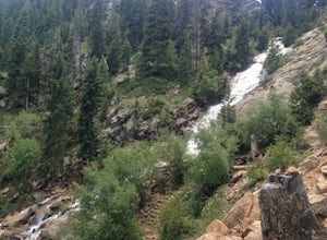
Hike to St. Mary's Falls
3.63.2 miFrom the parking area, follow the trail as it heads up towards the falls. The last mile, in particular, makes for a decent uphill challenge. This hike and waterfall are great for showing family and friends.Read more -
Colorado Springs, Colorado
Hike the Seven Bridges Trail
4.04.75 mi / 1600 ft gainFollow North Cheyenne Creek through the canyon as it forms several cascades along the way. Due to water levels, spring is an especially good time for this hike. Most turn around just past the seventh bridge, where the trail starts to disappear.Read more -
Colorado Springs, Colorado
Hike the Saint Mary's Falls Trail
5.06 mi / 1500 ft gainThis moderately difficult hike is a total of 6 miles, with a 1500' incline. You start from the parking lot off Gold Camp Road that intersects with High Drive, and start hiking up the part of Gold Camp Road that is closed off to vehicles. You will see a few trails stemming off from this main road,...Read more -
Colorado Springs, Colorado
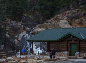
Helen Hunt Falls & Silver Cascades
4.00.65 mi / 272 ft gainPark at the log-cabin visitor's center on North Cheyenne Canyon Rd just before it turns into Gold Camp Rd. I definitely recommend arriving early, as the parking lot fills up quickly. Helen Hunt Falls is in sight of the parking area, and another 1/3 mile past that you'll run into Silver Cascades. ...Read more -
Colorado Springs, Colorado
Mt. Cutler Trail
5.01.79 mi / 561 ft gainThis is a quick hike to add to the list if you're making a trip to the Cheyenne Canon area. Parking is limited to about 15 cars and fills up fast so be sure to start early or the first part of your hike might start from a further parking or pull-off along the road. This is the same parking lot a...Read more -
Colorado Springs, Colorado
Mt. Muscoco Trail
4.83.66 mi / 1453 ft gainThe Basics: Mt. Muscoco (8020 ft.) is one of the easier summits in the Colorado Springs Front Range area, and you are quickly rewarded with 360 degree views after climbing 1.8 miles and 1,400 feet. The path is well-defined and maintained after it was reconstructed in 2015. Pack water and a light ...Read more -
Sedalia, Colorado
Hike Devils Head Fire Lookout
4.72.8 mi / 951 ft gainThis is one of my favorite hikes near Denver and the lookout itself is over 100 years old! On the road to the trailhead there are many spots for camping and other activities.From Sedalia, CO head down Highway 67 for about 10 miles. Turn south onto Rampart Range Rd and continue for about 9.5 miles...Read more -
Colorado Springs, Colorado
Hike Pulpit Rock
4.12.2 mi / 505 ft gainHeading South on N. Nevada Blvd. you will pass a Harley Davidson dealership on your left, about a mile after that there is a large parking lot for Pulpit Rock Park. Once you park, there is a clearly marked trailhead that will get you on your way! There are various trails you can take to get the t...Read more -
Jefferson, Colorado
Backpack Lost Creek
4.05 miI included a trail map of where I camped. There are many sites all throughout this area. From the Lost Park Campground Parking lot follow the Lost Creek for 2.4 miles. At the 1 mile mark was the best place that we found to cross the creek (there are two logs that make a bridge across the creek). ...Read more -
Larkspur, Colorado
Spruce Mountain Loop
4.55.46 mi / 810 ft gainSpruce mountain is an approximately 4.2 mile loop outside of Colorado Springs near Palmer lake. The hike is a pretty easy one, that has some great views of the Front Range including peak a boo views of Pikes Peak. Starting at the Trailhead, you can either take the right or left trail which will t...Read more -
Pine, Colorado
Little Scraggy Peak Loop
5.012.18 mi / 1621 ft gainLittle Scraggy Peak Loop is a loop trail that takes you past scenic surroundings located near Buffalo Creek, Colorado.Read more -
Colorado Springs, Colorado
Run the Yucca Flats Trails at Palmer Park
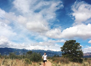
3 miThe Basics:It might be easy to overlook Palmer Park if you're planning an adventure outing in Colorado Springs, but definitely don't discount this inner-city oasis! It took me many years to memorize Palmer Park's confusing trail system (the trail maps don't help), but whether this will be your fi...Read more -
4402 Garden Park Road, Colorado
Mountain Bike at Oil Well Flats
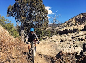
13 mi / 1200 ft gainThe Basics: Picture this: Winter on Colorado's Front Range. It snowed yesterday. You're stir crazy because today it's 60 degrees and sunny outside, but the trails are a muddy mess! Cue Oil Well Flats. Located just an hour outside of Colorado Springs, this trail network rarely sees precipitation, ...Read more -
Colorado Springs, Colorado
Hike Cheyenne Mountain
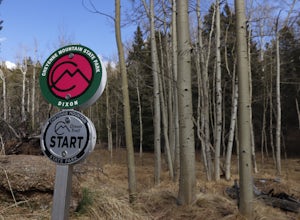
16 mi / 3400 ft gainThis trail starts out of Limekiln Trailhead in Cheyenne Mountain State Park. This is a large, obvious trailhead with bathrooms and water. From the trailhead follow the Talon trails on flatter terrain for the first 3 or so miles until it starts to steepen and turns to Dixon trail. These first few ...Read more

