Creede, Colorado
Top Spots in and near Creede
-
Durango, Colorado
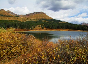
Camp at Little Molas Lake
5.01 mi / 40 ft gainLittle Molas Lake Campground is about 1 mile off of US Highway 550 on Molas Pass just North of and on the other side of the highway from the Molas Overlook. Pro-tip: there is also another campground nearby called Molas Lake Park & Campground, so it's important to distinguish which you are hea...Read more -
Durango, Colorado
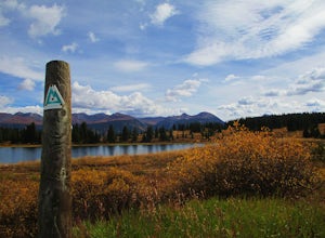
Hike the Colorado Trail: Little Molas Lake to Lime Creek
5.010 mi / 755 ft gainTo hike this section of the Colorado Trail, you'll begin from the Little Molas Lake Campground at around 10,895-ft. Little Molas Lake Campground is about 1 mile off of US Highway 550 on Molas Pass just North of and on the other side of the highway from the Molas Overlook, which is just South of S...Read more -
Ophir, Colorado
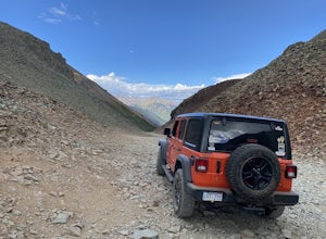
Ophir Pass Road
5.09.93 mi / 1696 ft gainOphir Pass Road is a point-to-point trail where you may see beautiful wildflowers located near Ophir, Colorado.Read more -
Durango, Colorado
Crater Lake via Crater Lake Trail
5.011.73 mi / 2077 ft gainReaching this trailhead actually begins off of Andrews Lake - you will see signs for Andrews Lake off HWY 550. I will provide directions from both Durango and Silverton at the end. The trailhead is extremely well marked the entire way. The mileage from Andrews lake to Crater lake one way is 5.5...Read more -
Archuleta County, Colorado
Hike to the Piedra River Hot Springs
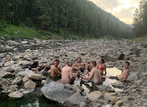
4.73 miAbout a 45 minute drive east of Durango, sits the trailhead for the Piedra River Hot Springs. This free use, natural hot spring on the Piedra River has several 100 degree pools. The springs are accessible via a 3 mile roundtrip hike, often with wildlife sightings along the way. The hike to the ho...Read more -
Durango, Colorado
Summit 3 Peaks in the Chicago Basin
5.0I tell people all the time that if they only do one hike in Colorado, this is it. You get a little taste of everything: Colorado history, wildlife, beautiful campsite views, 14ers, and the largest wilderness in the state.This itinerary assumes you’re hitching a ride on the train from Silverton. ...Read more -
Gunnison, Colorado
Camp at Hartman Rocks
3.0Just 3 miles outside the small south central town of Gunnison, Colorado lies Hartman Rocks recreation area. This 8000 acre open space includes 40 miles of single track trails as well as 33 miles of road. Camping at Hartman Rocks is the perfect way spend a relaxing night, or get an early start to ...Read more -
Gunnison, Colorado
Mountain Biking in Colorado's Hartman Rocks
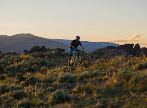
4.0Drive four miles south of Gunnison, Colorado and you'll find Hartman Rocks. Meet up with your friend at the parking lot at the base and head out with your bikes onto Jack's Trail, a singletrack trail that takes you onto the main routes through BLM land.Kiosks throughout Hartman Rocks have maps wh...Read more -
Ophir, Colorado
"Iron Way" Telluride Via Ferrata
3.15 mi / 974 ft gainThe Via Ferrata is an incredible way to enjoy Telluride from above. If you and your group have rock climbing experience this will be right up your alley. If no experience rock climbing there are guided options with great shops from town that will help you along this route. Hike up to Bridal Veil...Read more -
Durango, Colorado
Adrenaline Falls
5.00.43 mi / 279 ft gainAdrenaline Falls is a popular spot for the locals to swim and relax during the warm summer months. The pool at the bottom of the falls is deep and popular for cliff jumping. To get to the waterfall, turn onto the North access to Lime Creek road. A high clearance 4x4 vehicle is recommended to ...Read more -
Durango, Colorado
Backpack to Island Lake
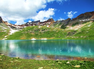
5.08 mi / 3000 ft gainFrom the Ice Lakes basin Trailhead, this 8 mile round trip trail with 3000 feet of elevation gain will bring you to the Ice Lakes Basin with an abundance of beautiful lakes, especially Island Lake and Ice Lake. We camped on a little shelf above Island Lake, but you can camp anywhere you find a ni...Read more -
Durango, Colorado
Upper Ice Lake
5.06.74 mi / 2464 ft gainFrom the Ice Lakes trailhead begin hiking through a meadow that quickly enters the forest and begins to climb. The trail will climb ~1,600 feet in the next two miles. As the trail climbs there is a scenic waterfall just over .5 miles, it is worth it to scamper up for a closer look (at ~1.0 miles ...Read more -
Durango, Colorado
Climb Fuller Peak
3.0Begin by hiking the Ice Lakes Trail for 3.5 miles, which will take you to Ice Lake. From here, you can identify the obvious, delta-shaped mountain to climber's left, known as Fuller Peak (13,761ft). Hike cross country, directly toward the base of the North Ridge (right skyline), walking past Full...Read more -
Durango, Colorado
Camp at South Mineral Campground
4.8Some general notes: South Mineral Campground does not take reservations - all sites are first come first served. There are an assortment of designated areas along South Mineral Road where dispersed camping is allowed so there is plenty of camping in the canyon on all but the busiest days, but y...Read more -
Gunnison, Colorado
Hike the Dillon Pinnacles Trail
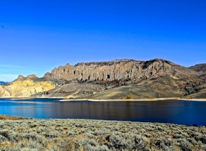
4 mi / 300 ft gainThe Dillon Pinnacles are a geologic phenomenon of southern Colorado. Volcanic eruptions formed the breccia rock into towering spires above the Sapinero Basin of Blue Mesa Reservoir. This packed dirt trail starts at about 7500 feet and climbs to a max elevation of 7800 feet. The four mile out-and-...Read more -
Ridgway, Colorado
Explore Twin Falls in Yankee Boy Basin
While small, Twin Falls sits in the extremely photogenic backdrop of Yankee Boy Basin. To reach the falls 7.5 miles outside of Ouray follow Camp Bird road for 4.7 miles before taking a right onto Yankee Boy Basin Road. After 2.8 miles you'll reach one of several small parking areas on the left ...Read more

