Black Hawk, Colorado
Looking for the best photography in Black Hawk? We've got you covered with the top trails, trips, hiking, backpacking, camping and more around Black Hawk. The detailed guides, photos, and reviews are all submitted by the Outbound community.
Top Photography Spots in and near Black Hawk
-
Boulder, Colorado
Mount Sanitas Loop & Settlers Park
4.43.83 mi / 1371 ft gainFirst off, these are two different hikes but both stem from the same parking lot and Settlers Park is a mere 5 minutes away from where you park so why not kill two birds with one stone? One of the more popular hikes in Boulder, Mount Sanitas is a 3 mile hike that quickly scales nearly 1,350 feet...Read more -
Evergreen, Colorado
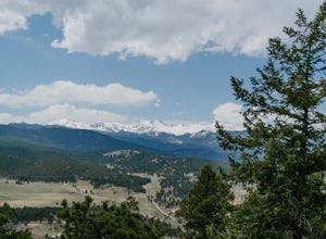
Hike Panorama Point at Corwina Park
4.72.7 mi / 640 ft gainJefferson County, the "Gateway to the Rockies" has dozens of great parks and trails. One of the best, however, is often overlooked, as it is sandwiched between bigger and more popular parks. Corwina Park is a small section located off Hwy. 74, near the village of Kittredge. Sitting between the po...Read more -
Idaho Springs, Colorado
ATV Leavenworth Creek Road (Guanella Pass)
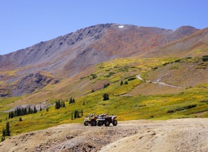
16.6 mi / 3655 ft gainSeptember is famous in Colorado for clear, deep blue skies,sublimely perfect temperatures, and gold-digging – of the leaf variety, thatis. On September 9, wildflower season was recently past and the best of theleaves were yet to come, but it was the perfect, clear and sunny day to checkout the hi...Read more -
U.S. 40, Colorado
Parry Peak
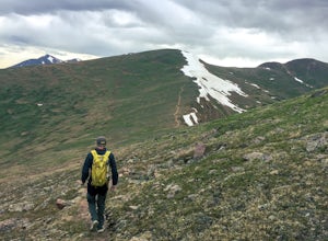
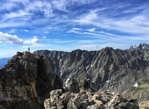
11.82 mi / 4209 ft gainThe trek to Parry Peak crosses three other peaks (Colorado Mines Peak, Mt. Flora, and Mt. Eva) along the Rocky Mountains. Begin your hike around sunrise as inclement weather often rolls in during the late afternoon. The trail is extremely rocky and steep. From the Berthoud Pass parking lot, fol...Read more -
Evergreen, Colorado
Evergreen Mountain Loop
4.75.89 mi / 0 ft gainThe way up Evergreen Mountain is actually a few different trails stitched together throughout Alderfer/Three Sisters Park. The trail connects to both parking lots in the park, so if one is full you can just start from the other one, giving you lots of options for a quick day-hike. If you start ...Read more -
Dillon, Colorado
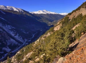
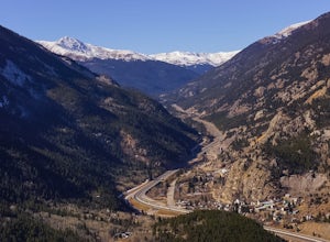
Hike the 7:30 Mine Road in Silver Plume
4.05 mi / 1200 ft gainWith a name like 7:30 Mine Road, this is one hike I had to investigate to see if it lives up to its name. Even though this is an easier hike than I normally choose, what it lacks in challenging terrain, it makes up for in historic interest. The view isn’t too bad, either.7:30 Mine Road is about t...Read more -
Silver Plume, Colorado
Argentine Railroad Grade
5.05.35 mi / 863 ft gainThe Argentine Central Railroad Grade trail is just what it says: it follows the old rail bed of the Argentine Central line. All railway remnants have long since been removed, and in its place is a wide, well-defined trail with an easy grade. With just a 900-foot incline over the course of about t...Read more -
Ward, Colorado
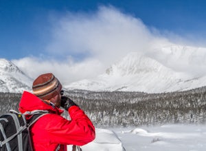
Snowshoe Mount Audubon
13.9 mi / 2715 ft gainWant to start snowshoeing peaks?! Of course you do! If you don't already have snowshoes, you can rent a pair at your local REI (the one in Boulder, CO is closest to this hike). Check the snow conditions and if there is a fair amount of snow, I would recommend renting the larger of the two kinds o...Read more -
Ward, Colorado
Explore Red Rock Lake, CO
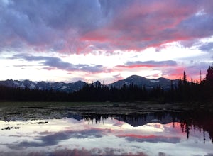
3.0If you are looking for great reflections, color and mountain peaks for your photos, this lake is a great place to start. The Brainard Lake Recreational Area has so much to do, but this is a stop not to miss.It seems that everyone drives on by this little gem to get to Brainard Lake and the hiking...Read more -
Ward, Colorado
Shoshoni Peak
5.010.61 mi / 2470 ft gainHike one of the most scenic 12ers in Colorado's front range, Shoshoni Peak, with an elevation of 12,967 feet. You can easily combine a summit of Pawnee Peak for wonderful views of multiple alpine cirques. Enjoy wonderful views of the Long Lake Valley, Isabelle Glacier, and Pawnee Pass regions. Fo...Read more -
Ward, Colorado
Pawnee & Buchanan Pass Loop
5.026.98 mi / 6978 ft gainBefore you start your trip, get a camping permit from the Boulder Ranger Station. Plan to spend your first night in the Crater Lake BZ (Backcountry Zone), and your second in Buchanan BZ. If you're feeling particularly sedate, you can easily spend a third night in Coney Creek. Start early in the ...Read more -
Ward, Colorado
Lake Isabelle via Long Lake Trailhead
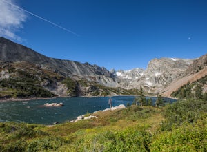
4.54.09 mi / 374 ft gainStart at the Pawnee Pass Trail No. 907 Trailhead. Long Lake is about 2 tenths of a mile and Lake Isabelle is 2 miles from the trailhead. Keep an eye out for moose grazing in the bushes or in the water near Long Lake. This is a 4 mile out and back hike with well marked trails. For an 8.75 mile hi...Read more -
Ward, Colorado
Isabelle Glacier
5.08.62 mi / 1578 ft gainGetting There The trailhead can be reached from Boulder by driving west through Boulder Canyon on Highway 42 to Nederland, then going north on the Peak-to-Peak Highway 72 to the town of Ward. From there, a National Forest Sign on the west side of the highway provides directions to the ranger stat...Read more -
Ward, Colorado
Snowshoe or Ski Lake Isabelle
10 miSpeechless. That’s how this hike will leave you. And not just because of its length. At over 10 miles, this snowshoe exploration is not for the faint of heart. But the language-defying beauty of this hike will make every sore muscle worth it.The Brainard Lake Recreational Area near Ward, Colorado...Read more -
Golden, Colorado
Matthews/Winters Park Loop
4.04.99 mi / 827 ft gainMatthews/Winters Park, which is part of the Jefferson County Open Space system, is proof that you do not have to go far from the city to enjoy the mountains. Nestled in the foothills between Golden and Morrison just off I-70 and C-470, Matthews/Winters is easy to access from Denver and any of the...Read more -
Evergreen, Colorado
Pence Park's Independence Mountain Trail
4.42.09 mi / 869 ft gainPence Park, part of the Denver Mountain Parks system, is nestled between the mountain communities of Indian Hills and Kittredge on Myers Gulch Road. It's one of those places I always drove right past without bothering to check it out. From the road, it looks the same as any other place in the foo...Read more

