Black Hawk, Colorado
Looking for the best photography in Black Hawk? We've got you covered with the top trails, trips, hiking, backpacking, camping and more around Black Hawk. The detailed guides, photos, and reviews are all submitted by the Outbound community.
Top Photography Spots in and near Black Hawk
-
Idaho Springs, Colorado
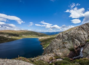
Camp and Fish at Loch Lomond
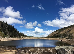
5.0The trail to Loch Lomond is very rocky. I suggest a high clearance 4x4 vehicle (I did see a small SUV and a Subaru..Not sure how they did it!!!). There are a few campsites at the lake and several along the way. I set up camp by the lake but had to move because the wind was so intense. I recommend...Read more -
Boulder, Colorado
Hike or Bike the Walker Ranch Loop
4.77.7 mi / 1740 ft gainWhen it comes to hiking trails in Boulder, the standard response usually consists of either Chautauqua Park or Mt. Sanitas, and while both offer excellent hiking options, they are both usually jam packed on the weekends. If you’re looking to stay close to the city, but want a little more seclusio...Read more -
Evergreen, Colorado
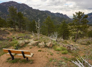
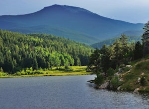
Private and Tranquil Retreat at Beaver Brook Watershed
4.0Note: This is NOT the Beaver Brook Trail in Genesee Park/Lookout Mountain! If you enjoy the scenery and ambiance of Evergreen, but Evergreen Lake has become too crowded for your tastes, Beaver Brook Watershed (owned by the City of Golden) is an excellent alternative. It’s a small, secluded area a...Read more -
Idaho Springs, Colorado
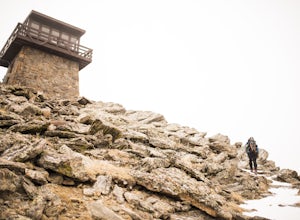
Squaw Mountain Fire Lookout
4.03.92 mi / 791 ft gainCome check out the Squaw Mountain Fire Lookout, a historic spot located in the Mount Evans Wilderness Area of Colorado, and one of the highest lookout towers in the country, at an elevation of 11,486 ft. Just a short drive from the Front Range corridor, you can hike/backpack in to this lookout ar...Read more -
Idaho Springs, Colorado
Hike Chief Mountain, CO
4.54 mi / 1100 ft gainSitting at 11,709’, Chief Mountain is not one of Colorado’s highest peaks, but the views from this mountain are spectacular nonetheless and rival the views of any 14er I’ve climbed. This mountain sits along Squaw Pass Road so you get the luxury of a high trailhead for this peak.To get there, foll...Read more -
Nederland, Colorado
Climb the Avalon Crag in Boulder Canyon
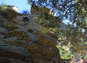
From Boulder, the pullout that is best to park at for the Avalon crag is 8.4 miles up the canyon. You will walk down the side of the road past the talus field, where if the river is too high to wade you can use the tyrolean traverse. Otherwise, you can wade or hop across rocks according to the da...Read more -
Idaho Springs, Colorado
Explore Fall River Reservoir
4.01 mi / 144 ft gainThis spot may be a little more difficult to reach than others, but the payoff is worth it. You'll start by taking a dirt road that splits off from Fall River Road. It is pretty easy going for the first mile or so, but then you'll want to make sure you have a little higher clearance 4x4 vehicle to...Read more -
Idaho Springs, Colorado
Camp at Chinns Lake
Take the road as if you are going to St. Mary's Glacier, but you will take a left off the road (next to a very nice house) before the road makes a sharp right turn to go up hill. The road is a smooth dirt road for about a mile, but gets very rocky after that and you will need a good off road vehi...Read more -
Boulder, Colorado
Hike the Rattlesnake Gulch Trail
4.35.3 mi / 1304 ft gainRattlesnake Gulch Trail is located in Eldorado Canyon State Park. It is a short 20 minute drive from Boulder and is one of three hikes in the park. You will need to pay an entrance fee to get inside to the park which costs $8. The trail is approximately 2.8 miles one way and carries a consistent ...Read more -
Golden, Colorado
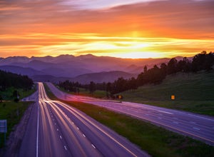
Capture the Mountains Leaving Denver
5.0After shooting a friend's wedding, I was on my way home when I noticed the sky start to light up to the west. I parked the car and ran down the road. The spot is well known for how perfectly the overpass frames the mountains as drivers leave the Denver area.The total exposure time was just over 2...Read more -
Nederland, Colorado
Hike Rollins Pass to Devils Thumb
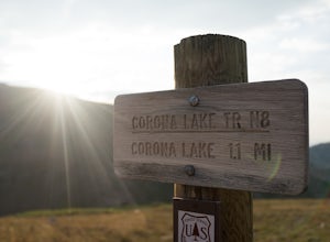
2.1 mi / 622 ft gainCorona Lake is an easy, short hike if you're pressed for time. It's scenic, secluded, and will put you in a great spot to hike to Devils Thumb the next day. There are two ways to reach Devils Thumb. This is considered the "easier" route because of the "lack of elevation gain." The sun and wind re...Read more -
Boulder, Colorado
Green Mountain via West Ridge Trail
3.23 mi / 607 ft gainStarting at 7,600 ft this 1.35 mile (one-way) hike is the shortest, and by far the least strenuous, hike to summit one of Boulder's iconic peaks. Parking for this trail-head is available along the road a short drive, 4.5 miles, up Flagstaff Rd. The trail gently slopes along a ridge for the firs...Read more -
Boulder, Colorado
Catch the Sunrise on Sugarloaf
4.51 mi / 400 ft gainTo get there from downtown Boulder, head west on CO 119 and almost 4.5 miles after you have left Boulder, turn right onto Sugarloaf Road. 4 miles after the turn from CO 119, turn right onto Sugarloaf Mountain road (located at the top of the road). If the road starts descending, you've gone too fa...Read more -
Boulder, Colorado
Watch Sunset from the Lost Gulch Overlook
From Boulder, drive west on Baseline road. Continue up for about 5.5 miles past the Flagstaff Summit (Realization Point) pull off. After some more steep and very tight switchbacks there will be a dirt parking lot on the north side of the road. From here you can head northwest towards the cliff...Read more -
Boulder, Colorado
Hike South Boulder Peak
4.56.7 mi / 2900 ft gainStarting at the Mesa trailhead, continue a half a mile through a relatively even grade before arriving at the North Fork Shanahan trailhead, which will take you another half a mile on much steeper grade up to Fern Canyon where you will start a much harder portion of the hike; here, you'll head st...Read more -
Boulder, Colorado
Hike Bear Peak
4.87 mi / 2810 ft gainThe best advice I can give you? Wake up early to start this hike.Even though the Bear Peak hike will only take you about 4-5 hours round trip, it will still be advantageous to get off the mountain before afternoon and evening storms might pass through. This is a steep 7-mile out and back trail.St...Read more

