Black Canyon of the Gunnison National Park, Colorado
Looking for the best photography in Black Canyon of the Gunnison National Park? We've got you covered with the top trails, trips, hiking, backpacking, camping and more around Black Canyon of the Gunnison National Park. The detailed guides, photos, and reviews are all submitted by the Outbound community.
Top Photography Spots in and near Black Canyon of the Gunnison National Park
-
Telluride, Colorado
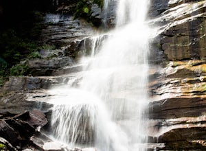
Hike to Bear Creek Falls in Telluride
5.05 mi / 1000 ft gainThe trail begins at the south end of Pine Street in Telluride, and proceeds 2.5 miles up the Bear Creek Canyon trail with an elevation gain of about 1,000'.Be sure to stay to the left at the divide with the Wasatch Trail.At the waterfall there is a small use trail that contours up to the right an...Read more -
Ridgway, Colorado
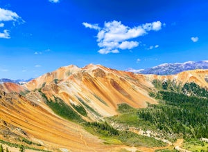
Explore Corckscrew Gulch
Corkscrew Gulch is named for the narrow and winding switchbacks that "corkscrewes" up Red Mountain Two. It is hard to miss this area of the San Juan Mountains, because the deep reds, oranges, and yellows blanket all three of the named "Red Mountains". The red color in the mountains is caused by o...Read more -
Telluride, Colorado
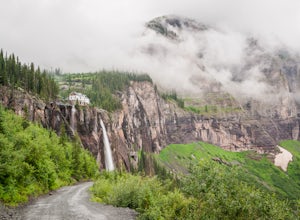
Hike to Bridal Veil Falls in Telluride
5.02.4 mi / 850 ft gainPark at the Pandora Mill just east of Telluride and lace up your footwear of choice. At 1.2 miles to the base of the falls with 850 feet of gain, this can make for a great thigh burning hike or run. The trail is a gravel road that eventually passes a gate to further trails up the Bridal Veil Ba...Read more -
Crested Butte, Colorado
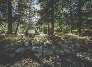
Camp at Oh Be Joyful Campground
5.0Oh Be Joyful Campground sits on the banks of the Slate River and consists of 15 camp sites dispersed over a decent amount of ground, split into two sides of the river. The river, when it's low is more of a stream and is only passable when it's low. It's a small thrill to drive through it to get t...Read more -
Crested Butte, Colorado
Blue Lake via Oh Be Joyful Campground
12.96 mi / 2201 ft gainOverview: Round Trip is about 13 miles, about 500 ft ascent at the beginning and 1500 ft ascent in the last 1.5 miles. The majority of the hike is flat and through an AMAZING valley. Getting There: Blue Lake Trailhead is located at Oh Be Joyful Campground on Slate River Rd, just across a river,...Read more -
Crested Butte, Colorado
Explore the waterfalls of Oh Be Joyful Creek
If you're not already camping there, park at Oh Be Joyful Campground, about 5 miles up County Road 734 from downtown Crested Butte. There's parking on either side of the river crossing, but you're going to have to get your feet wet anyway, so might as well park in the first parking lot and walk a...Read more -
Mountain Village, Colorado
Mountain Bike Village Trail
Take the Gondola from either Telluride or Mountain Village and get off at mid station. Walk up the path, pass the entrance to the bike park, and continue up the gravel road until you come upon signs for the Village Trail. It will start on the maintenance road but will quickly become a narrow path...Read more -
Ophir, Colorado
"Iron Way" Telluride Via Ferrata
3.15 mi / 974 ft gainThe Via Ferrata is an incredible way to enjoy Telluride from above. If you and your group have rock climbing experience this will be right up your alley. If no experience rock climbing there are guided options with great shops from town that will help you along this route. Hike up to Bridal Veil...Read more -
Crested Butte, Colorado
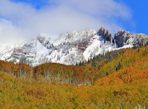
Drive Kebler Pass for Fall Colors
5.0Kebler Pass, or Gunnison County Road (GCR) 12, is an excellent place to see fall colors in Colorado. You won't get nearly as much congestion as on Independence Pass in Aspen, but you get just as many yellow and amber leaves. The road is dirt but passable by any vehicle–although because it's at ov...Read more -
Crested Butte, Colorado
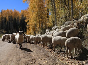
Photograph Sheep along Kebbler Pass
5.0Fall time in Colorado is incredibly scenic, and if you drive up to Crested Butte, you may find herds of sheep being led down the mountains. Drive along Kebbler Pass in September and October, and look for these huge herds of sheep. Though it can be difficult to track them down, they make for amazi...Read more -
Silverton, Colorado
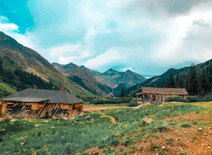
Explore Animas Forks
5.00.25 mi / 40 ft gainThe ghost town of Animas Forks, CO is located in the San Juan Mountains at an elevation of 11,200 feet. There are several original buildings remaining. The best way to explore the region is by Jeep or other high-clearance 4×4. The cabins began being built by prospectors in 1873. Three rivers meet...Read more -
Lake City, Colorado
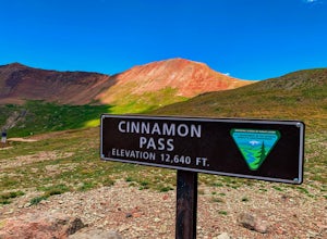
Drive Cinnamon Pass
5.0Along Colorado’s Alpine Loop, Cinnamon Pass sits 12,640’ above the San Juan Mountains. A high clearance vehicle preferably with 4WD is needed to reach the pass, but the breathtaking views along the challenging journey make it worth the ride. During the gold rush in Colorado, Cinnamon pass was us...Read more -
Silverton, Colorado
Drive to California Pass
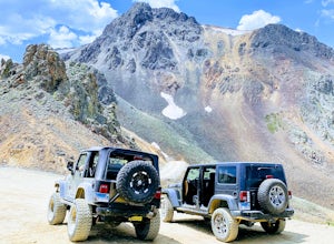
California Pass’s summit is a jaw dropping 12,960 feet above sea level. A long way from the valley floor, California Gulch, but, as drivers start their trek, the valley floor starts to shrink and gives way to steep climbs and switchbacks. Off road vehicles are needed to reach the top, and drivers...Read more -
Carbondale, Colorado
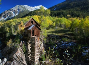
Hike by Lizard Lake to Crystal Mill
5.010 miAlthough the iconic Crystal Mill is the main attraction on this hike, the river that leads you there through the magnificent mountains of the White River National Forest is nothing short of extraordinary.Getting ThereThe hike is located in the small town of Marble, about 40 minutes east of Carbon...Read more -
Silverton, Colorado
Explore Hurricane Pass and Lake Como
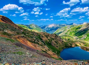
Spending much of the trek above tree line, Hurricane Pass is situated at 12,730 feet above sea level and offers up views of Poughkeepsie Gulch (a more extreme off-road trail) and sapphire blue mountain lakes, such as Lake Como. One of the most beautiful roads in the lower 48 states, Hurricane Pas...Read more -
Carbondale, Colorado
Camp at Paradise Divide
At a literally breathtaking 11,250 feet, Paradise Divide offers seclusion and scenery that can't be beat. Just fifteen miles outside of the world renowned ski resort Crested Butte, this area boasts wildflowers, wildlife, stunning peaks, and opportunities to watch amazing sunrises and sunsets pain...Read more

