Black Canyon of the Gunnison National Park, Colorado
Looking for the best photography in Black Canyon of the Gunnison National Park? We've got you covered with the top trails, trips, hiking, backpacking, camping and more around Black Canyon of the Gunnison National Park. The detailed guides, photos, and reviews are all submitted by the Outbound community.
Top Photography Spots in and near Black Canyon of the Gunnison National Park
-
Crested Butte, Colorado
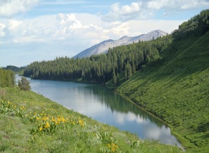
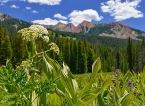
Hike to Meridian Lake
4.0The trail starts off with a small river crossing. You can find an easier place to cross nearby, or just march right through, if you have waterproof shoes or sandals.The beginning of the trail is the hardest. You will have a steep incline for about a quarter mile, following switchbacks up to the l...Read more -
Crested Butte, Colorado
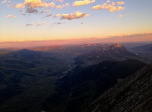
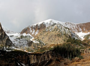
Hike Gothic Mountain
6.5 mi / 3025 ft gainThe Gothic mountain trailhead starts at 9600' about 10 miles outside Crested Butte, Colorado. A four wheel or all wheel drive vehicle is recommended to make it to the trail head. Take trail 403 which will eventually turn into Gothic Mountain trail around mile 2.5. The single track trail winds thr...Read more -
Silverton, Colorado
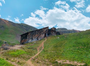
Explore Placer Gulch and Sound Democrat Mill
0.25 mi / 50 ft gainPlacer Gulches 4WD trail is a gorgeous route offering scenic vistas of the San Juan Mountains and traverses an area rich with mining history. This area provides gorgeous wild flowers in the peak season of late July/ early August. Some of the best preserved mine structures in Colorado can be found...Read more -
Lake City, Colorado
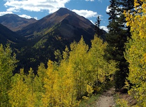
Hike Redcloud and Sunshine Peaks
5.012 mi / 4800 ft gainThe easier drive to the Silver Creek / Grizzly Gulch trailhead is reached by traveling south from Lake City and turning right onto County Road 30. Although parts can be rough and the shelf road around the base of Sunshine Peak may cause a tighter grip on the steering wheel, in dry conditions a hi...Read more -
Telluride, Colorado
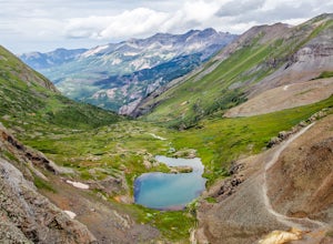
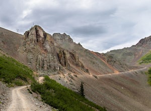
Drive Black Bear Pass & the Ingram Basin
5.012 mi / 3000 ft gainBlack Bear Pass (el. 12,840’), officially known as Forest Service Road 648, is an infamous 4WD road that runs between U.S. Highway 550 (between Silverton & Ouray) and Telluride, CO. From the pass downhill through the Ingram Basin to Telluride, the road is one-way and features switchbacks and ...Read more -
Telluride, Colorado
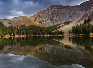
Alta Lakes Dispersed Camping
4.7Note: Camping is permitted around the lake. There are approximately 20 undeveloped campsites. For more information, head to the US Forest Service website. Camping Facilities20 campsites that are completely undevelopedCamping is permitted at only the designated campsitesPortable toilets are avail...Read more -
Telluride, Colorado
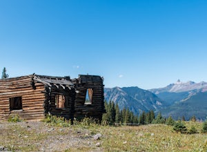
Explore Alta Ghost Town
5.00.5 miAlta Ghost Town is located about 10 miles from Telluride on Alta Lakes Road. Take the rugged dirt road approximately 2 miles until the ghost town appears on the left. Hike up the short trail to view the remnants of the old mining town with many of the buildings still standing, including the impre...Read more -
Carbondale, Colorado
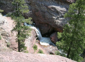
Explore Hayes Creek Falls
3.50 miRight off of Highway 133 about 2 miles south of Redstone, lies a very easy-to-get-to Waterfall. Park your car off to the side of the highway, walk about 100 feet and you will find this glorious waterfall. The fall is best to see in the late Spring to early Summer. From late Spring, to early Summe...Read more -
Crested Butte, Colorado
Hike to Judd Falls
3.02.5 mi / 220 ft gainStarting at 9600 feet, just outside the small town of Gothic is the trail head for Judd Falls. The parking lot is on the side of the road and getting to this area is completely possible with a passenger car. The trailhead includes bathrooms and is particularly uncrowded on weekdays and in the lat...Read more -
Crested Butte, Colorado
Hike Rustler's Gulch
5.09 mi / 1748 ft gainFrom Crested Butte, continue 6 miles past the town of Gothic to Rustler's Gulch Road. Turn right on the road, cross the East River to get to a small parking area near the river. If you don't have 4WD, park here and hike another 1/2 mile to the trailhead. It's a pretty steep hike. If you do have 4...Read more -
San Miguel County, Colorado
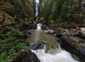
Mystic Falls
4.22.39 mi / 138 ft gainI've been visiting Telluride, CO for the last 20 years, and I'd never once heard of this place. Mystic Falls is not marked on any map I've ever seen. And even some locals seem to have never heard of it. So I feel like I lucked out on this last trip to Telluride when a friend found a blog post and...Read more -
Ophir, Colorado
Drive Ophir Pass
4.58 mi / 2500 ft gainOphir Pass (el. 11,114’), officially known as Forest Service Road #630, is one of the easiest of the high alpine trails in the San Juan mountains, but still can provide trouble to the inexperienced or when bad weather is present, particularly on the western/Ophir downhill side. The pass and road ...Read more

