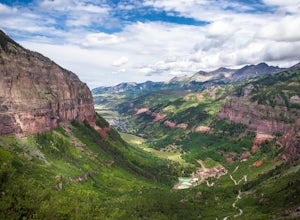
Black Canyon of the Gunnison National Park, Colorado
Top Spots in and near Black Canyon of the Gunnison National Park
-
Montrose County, Colorado
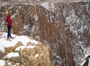
Snowshoe in Black Canyon of the Gunnison National Park
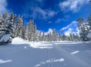
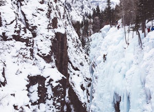
2 mi / 377 ft gainWinter is a great time to visit Black Canyon of the Gunnison National Park. Covered in snow, the canyon seems even more dramatic and sheer. The park road is plowed up until the visitor center, and there is no entrance fee in the winter. The rest of the park road is groomed for cross country skiin...Read more -
Crawford, Colorado
Warner Point Nature Trail
5.01.52 mi / 279 ft gainWarner Point Nature Trail is an out-and-back trail that takes you by a river located near Montrose, Colorado.Read more -
Crawford, Colorado
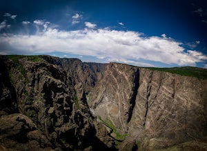
Hike to the Painted Wall
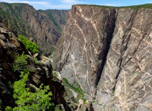
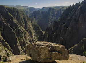
4.51 mi / 25 ft gainAt 2,250 feet, the Painted Wall in Black Canyon of the Gunnison is a sight that cannot be truly captured in photos. The layers of rock along the cliff's wall resembles a canvas with streaks from a paintbrush. This canyon took eons to create, and this view of the river and canyon walls is the high...Read more -
Crawford, Colorado
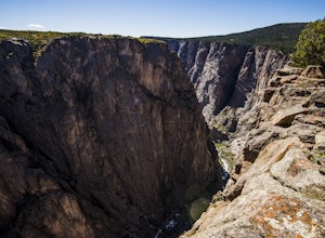
Hike the Chasm View Nature Trail
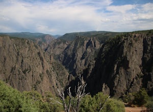
5.01 miThis easy trail is located along the north rim of the canyon and can be completed as either a short loop hike or a shorter out and back to the first overlook. You’ll find the trailhead at the North Rim Campground. The views of the canyon along this trail are fantastic, some of the best in the par...Read more -
Montrose, Colorado
Hike the Gunnison Route
5.02 mi / 1800 ft gainImmediately upon arriving, secure a permit to scramble down 1,800ft in one mile to the Gunnison River. There are no hiking trails below the rim of the canyon, and because of its relentless steepness and rock exposure, the only existing routes are incredibly steep and loose. To protect the delicat...Read more -
Montrose, Colorado
Hike the Oak Flat Loop
5.02 mi / 377 ft gainBlack Canyon of the Gunnison is one of Colorado's four national parks. Though not as well known as Rocky Mountain or Mesa Verde, Black Canyon has no lack of views, hiking opportunities, and other must-experience natural features. The Canyon's expanse is far too large to explore in a day, but the...Read more -
Montrose, Colorado
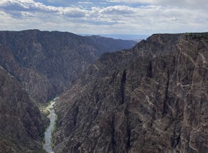
Drive the Scenic loop at Black Canyon of Gunnison National Park
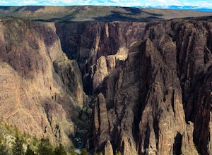
4.5The Black Canyon of Gunnison is know for 2000 foot cliffs and a beautiful raging river below. The south side of the canyon is the most popular and the easiest to get to. The visitor center is also on the south side making it convenient for information and getting souvenirs. The scenic drive also ...Read more -
Montrose, Colorado
Drive the East Portal Road
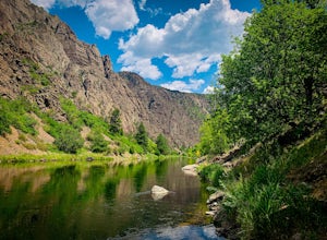
Want an easier way to get to the bottom of the canyon without the rugged hiking trails? Drive to the bottom via the East Portal Road. Open once the harsh winter breaks, this road switchbacks its way to the bottom at the meeting place of Curecanti National Recreation area and Black Canyon of the G...Read more -
Montrose, Colorado
Hike to Tomichi Point and Gunnison Point Overlooks
5.02 miTo access the South Rim of the Black Canyon of the Gunnison National Park, take US 50 and CO 347 to the south entrance, 15 miles east of Montrose. There is no bridge between the north and south rims of the canyon - make sure you enter from the Montrose side.After passing through the entrance stat...Read more -
Montrose, Colorado
Camp at Black Canyon of the Gunnison's South Rim Campground
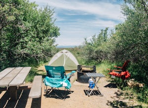
5.0The South Rim Campground is located about 6 miles inside Black Canyon of the Gunnison National Park. There are a total of 88 sites, 34 of which are available year-round. Reservations are definitely recommended, but are not required - loop C is first-come, first-served. Loop B fills up first, as i...Read more -
Gunnison, Colorado
Hike the Dillon Pinnacles Trail
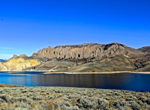
4 mi / 300 ft gainThe Dillon Pinnacles are a geologic phenomenon of southern Colorado. Volcanic eruptions formed the breccia rock into towering spires above the Sapinero Basin of Blue Mesa Reservoir. This packed dirt trail starts at about 7500 feet and climbs to a max elevation of 7800 feet. The four mile out-and-...Read more -
Lake City, Colorado
Backpack to Wetterhorn Basin
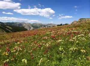
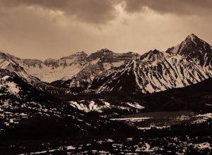
13 mi / 3000 ft gainThis trip is for the lover of solitude and the appreciator of the unscathed backcountry. Wetterhorn Basin is in the heart of the beautiful San Juan Mountain range in Southwestern Colorado.With a 4WD high clearance vehicle start at the West Cimarron Trailhead at 10,750 feet (38.1117N -107.5533W),...Read more -
Ridgway, Colorado
Photograph Dallas Divide
Along with Maroon Lake and Crystal Mill, Dallas Divide is one of Colorado's iconic photography locations. It's proximity to the rugged San Juan mountains makes it an ideal location to capture some of Colorado's most incredible scenery in one picture frame. Start your adventure by grabbing your t...Read more -
Cedaredge, Colorado
Grand Mesa County Line Loop
5.05.82 mi / 302 ft gainThe County Line Trailhead is a great way to enjoy the winter wonderland of the Grand Mesa. Both classic or skate skiing is allowed (along with snowshoeing). This is a perfect family trail since all trails are easy to moderate with a few short climbs and a maximum elevation change of 50 feet. Ther...Read more -
Cedaredge, Colorado
Run the Crag Crest Loop
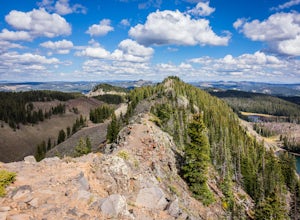
4.310.4 mi / 1500 ft gainThe Crag Crest Trail is a 10-mile loop that takes runners over one of the highest points on Grand Mesa. When traveling in a clockwise direction, the trail traverses a narrow rocky ridge for 5-miles before descending into the dense pine forest below. Grand Mesa's trails are less maintained due to ...Read more -
Somerset, Colorado
Camp at Lost Lake Slough
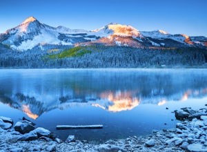
5.0Lost Lake Slough offers camping, hiking, photography, kayaking, and more in a remote and beautiful part of Colorado. At an elevation of over 9,600 ft., the lake typically opens in mid-June after the snow is melted, and closes in October after the first significant snowfall. The campground is on...Read more
Top Activities
Camping and Lodging in Black Canyon of the Gunnison National Park
Montrose, Colorado
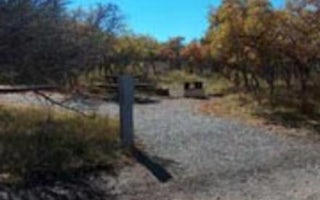
Black Canyon Of The Gunnison Np South Rim Campground
Overview
A camping trip to the Black Canyon of Gunnison National Park makes for a beautiful getaway for sightseeing, stargazing, and hiki...
Montrose, Colorado
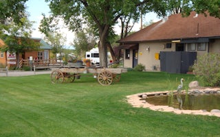
Montrose / Black Canyon Nat'l Park KOA Journey
There's no shortage of ways to spend your days when camping at this southwest Colorado campground. You're only 15 minutes from Black Cany...
Delta, Colorado
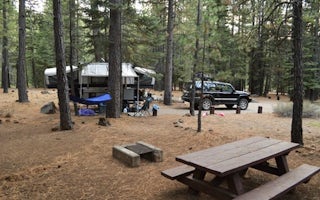
Cottonwood Grove Campground
Situated among mature cottonwood trees along the Gunnison River, this campground has 6 campsites, including one ADA accessible site with ...
Gunnison, Colorado
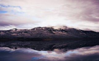
Lake Fork Campground
Overview
Lake Fork Campground is on the Blue Mesa Reservoir, near the reservoir's dam. It is a part of the historic Curecanti Recreation ...
Olathe, Colorado
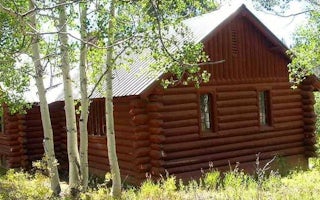
Silesca Cabin
Overview
The historic Silesca Cabin, once used as a Ranger Station, is a semi-rustic dwelling with comfortable modern conveniences like e...
Gunnison, Colorado
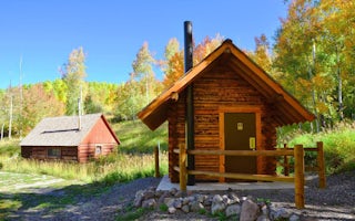
Jackson Guard Station
Overview
Jackson Guard Station is a great destination for anything from a weekend getaway to a week-long hunting trip. The cabin was orig...

