Bailey, Colorado
Looking for the best photography in Bailey? We've got you covered with the top trails, trips, hiking, backpacking, camping and more around Bailey. The detailed guides, photos, and reviews are all submitted by the Outbound community.
Top Photography Spots in and near Bailey
-
Bailey, Colorado
Payne Creek Trail via Brookside McCurdy Trailhead
4.517.98 mi / 3773 ft gainDay 1: Park at the Payne Creek/Brookside Trailhead (8,040 ft.) right outside Bailey. You'll go on the trail for about a mile before the trail parts to Craig Meadows or Craig Park. If you start this in the nighttime, it's best to camp before you part ways on the trail as it's a little more spaciou...Read more -
Conifer, Colorado
Elk Falls Loop
3.512.76 mi / 1893 ft gainBegin on Staunton Ranch Trail for 3.3 miles. Switch to Bugling Elk Trail for the next 1.1 miles, then to Lion's Back Trail for the last mile to the overlook. From here, you can create the loop by backtracking to the Chimney Rock Trail, which then connects with the Elk Falls Trail. To head back to...Read more -
Jefferson, Colorado
Backpack Lost Creek
4.05 miI included a trail map of where I camped. There are many sites all throughout this area. From the Lost Park Campground Parking lot follow the Lost Creek for 2.4 miles. At the 1 mile mark was the best place that we found to cross the creek (there are two logs that make a bridge across the creek). ...Read more -
Pine, Colorado
Dispersed Camp at the Buffalo Creek Area in Pike National Forest
3.850 miles from Denver, nestled in Pike National Forest, there are dozens of free dispersed camping sites. With quick access to the Colorado Trail and Buffalo Creek Mountain Bike Area, these campsites make for a perfect weekend getaway. The campsites begin on Forest Road 550, and are clearly marked...Read more -
Evergreen, Colorado
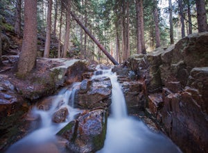
Maxwell Falls
3.43.95 mi / 928 ft gainLocated just outside of Evergreen, this beginner hike is a great escape from the city for a few hours. There are three different options to hike to the falls: Maxwell Falls Lower Trail (4 miles), Upper Maxwell Falls Trail (1.1 miles), and Maxwell Falls Bluffs Cliffside Trail Loop (5 miles). On th...Read more -
Littleton, Colorado
Hike the Eagle's View Trail
4.34.3 mi / 900 ft gainReynolds Park is part of the Jefferson County Open Space system. Located a few miles south of Conifer, off Hwy 285 on S. Foxton Road, it is a foothills park geared for families, groups, and the casual hiker. The network of trails on the west side of the road offers hikers and equestrians anything...Read more -
Jefferson, Colorado
Colorado Trail: Kenosha Pass to FR 130
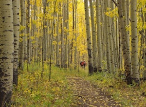
4.66.81 mi / 938 ft gainThe Colorado Trail (http://www.coloradotrail.org) is 500 miles long and stretches from Denver to Durango. Perhaps the most-traveled portion of the Colorado Trail is at Kenosha Pass. Kenosha Pass is well-known for its thick, colorful stands of aspen in the fall. During peak leaf season (late Septe...Read more -
Jefferson, Colorado
Trek through Granite Pillars on Bison Peak
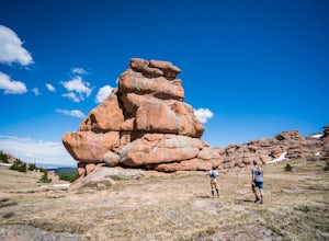
12.4 mi / 4000 ft gainBison peak sits 2 hours from Denver in the mountains of the Lost Creek Wilderness. To reach the 12,431 ft. summit you'll start in low density ponderosa forest at 8,750 ft on crushed granite trail. Early starts are recommended in the summer months as the trail's high albedo can make for an extreme...Read more -
Evergreen, Colorado
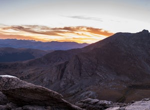
Watch the Sunset from Mt Evans Road
5.0Leave Evergreen, CO and access the Mount Evans Road and Mount Evans Recreation Area from Squaw Pass, CO 103 at Echo Lake.Drive along the slopes of Mount Evans, a Colorado 14er standing at 14,264 ft. 5 switchbacks down from the summit, on a tight hairpin turn, is a small parking area near 13,900f...Read more -
Evergreen, Colorado
Mount Evans and Mount Spalding Loop
4.38.47 mi / 1706 ft gainMount Evans is a simple, yet drop dead gorgeous 14er. That being said, no 14er is easy by any means. However as far as 14er's go, this is a cake walk. Coming in at a rating of class 2, there tends to be some scrambling but nothing a well balanced person can't handle. To begin this adventure, we ...Read more -
Evergreen, Colorado
Evergreen Mountain Loop
4.75.89 mi / 0 ft gainThe way up Evergreen Mountain is actually a few different trails stitched together throughout Alderfer/Three Sisters Park. The trail connects to both parking lots in the park, so if one is full you can just start from the other one, giving you lots of options for a quick day-hike. If you start ...Read more -
Sedalia, Colorado
Backpack the Lost Creek Loop
33.5 mi / 6200 ft gainLost Creek Wilderness may be my favorite part of Colorado. It contains varied terrain and geography, and is less crowded than most places. This loop will take you through everything the wilderness area has to offer. You will get sweeping panoramas of mountain ranges to the south, as well has m...Read more -
Sedalia, Colorado
Camp at Goose Creek
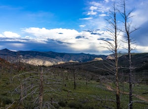
3.08 mi / 1300 ft gainGoose Creek is a fantastic spot to hike or camp. There is a dirt road leading to the trailhead, and it winds through the mountains and offers a great view of the valley. The dirt road is relatively easy and well-maintained. The burn scar from the Hayman fire is still really evident, so there are ...Read more -
Evergreen, Colorado
Photograph Ancient Bristlecone Pines on Mt. Goliath
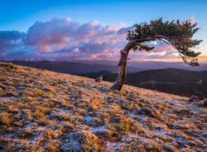
5.0On the way to the summit of Mt. Evans sits a small 160 acre preserve of some of the world's oldest living trees. The Mount Goliath Natural Area protects a rare site of Bristlecone Pines that make excellent photographic subjects.Immediately after parking you're surrounded by a miniature forest ful...Read more -
Idaho Springs, Colorado
Bierstadt, Evans, and The Sawtooth Loop
4.59.76 mi / 3438 ft gainStarting from the oddly poorly marked Guanella Pass Trailhead (Google maps directions to Guanella Campground and then drive about two miles past it to the south), the trail heads southeast toward Bierstadt, and much of your route to the first summit is visible from the parking lot. The trail to ...Read more -
Idaho Springs, Colorado
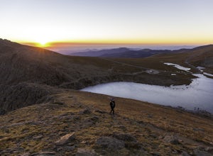
Watch the Sunrise at Guanella Pass
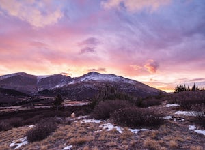
5.01 mi / 100 ft gainFrom Denver, take i70 to Georgetown and simply follow the signs through town to the top. This pass can also be accessed from the south via US Highway 285 at the town of Grant. Guanella Pass is closed in the winter, typically from about the last week in November through the last week of May. Watch...Read more

