Allenspark, Colorado
Looking for the best chillin in Allenspark? We've got you covered with the top trails, trips, hiking, backpacking, camping and more around Allenspark. The detailed guides, photos, and reviews are all submitted by the Outbound community.
Top Chillin Spots in and near Allenspark
-
Lyons, Colorado
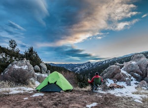
Camp at Coulson Gulch
4.09 miCoulson Gulch is a lightly used area of the Roosevelt National Forest which makes it perfect for a weekend getaway without the crowds. This is a great place to camp out under the stars!To get to Coulson Gulch From Lyons, head west on U.S. Highway 36 for about 9 miles. Turn southwest onto Larimer ...Read more -
Nederland, Colorado
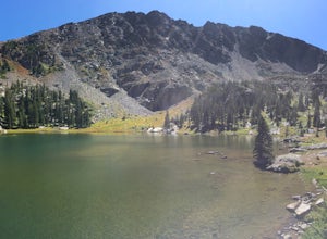
Hike to Columbine Lake
5.07 mi / 1200 ft gainThe hike is about seven miles, give or take, however it feels longer. The elevation gain is little over 1000 feet. The drive here is about 45 minutes from both Granby and Winter Park, and is definitely worth it. You follow a trail dusted with wildflowers for the majority of the hike, and occasio...Read more -
Lyons, Colorado
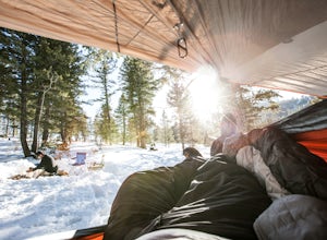
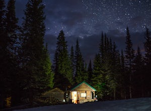
Winter Camp Near Coulson Gulch
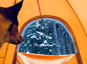
4.0County Road 47 is between Lyons and Estes Park. It's an easy drive from Denver and is a great place to get away for the weekend. I have camped here in the summer, fall, and winter. I have to say that snow camping was my favorite. I didn't see anyone the whole weekend and had the entire area to ex...Read more -
Estes Park, Colorado
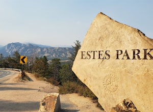
Photograph at The Estes Park Sign
This sign is on the mountainous decline just before you reach town. There's a small parking lot that fills up quick in peak season, but most people only spend a few minutes here on their way in to Estes Park and Rocky Mountain National Park. It is easy enough to have people take your picture, jus...Read more -
Grand Lake, United States
Hike to Timber Lake
4.59.6 mi / 2050 ft gainI love Timber Lake! I never see that many people on the trail and I can't figure out why. The hike starts at the Timber Lake trailhead and climbs gradually through Pine and Aspen trees on the way up. We saw a few elk on the way up that didn't seem to be bothered by our presence. We also started h...Read more -
Nederland, Colorado
Backpack to Caribou Lake
4.08.2 miThis is one of the most beautiful hikes I have ever done in Colorado. It is a great trip for photographers, fisherman or anyone who enjoys mountain views, forests filled with wildlife and peaceful meadows. Distances: Arapaho Pass: 3.2 miles, Caribou Lake: 4.2 miles, Caribou Pass: 6.4 miles, Meado...Read more -
Nederland, Colorado
Hike to the Lost Lakes via the Hessie Trail
4 mi / 1000 ft gainAccessed by Hessie Trailhead, Lost Lake is a relatively moderate 4 mile round-trip hike with about 1,000 feet of elevation. The core of the hike is uphill and on a gravel path, 2/3rds of the hike runs parallel to a rushing waterfall. After parking your car, head towards the Hessie Trailhead. Yo...Read more -
Nederland, Colorado
Drive the Peak to Peak Highway
4.555 mi / 705 ft gainThe Peak to Peak Highway is a 55-mile stretch of road that winds its way from Nederland to Estes Park (or Estes Park to Nederland). This road connects to many points of exploration, Indian Peaks Wilderness Area and Rocky Mountain National Park to name a couple, but the drive itself is an adventur...Read more -
Nederland, Colorado
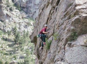
Climb in Boulder Canyon
5.0Heading west from Boulder, take CO 119/Boulder Canyon Drive into Boulder Canyon. Once you're in the canyon, there are many areas that all have great climbing. For the more traditional climber, there are areas such as Castle Rock (39.9787, -105.4551) and the Happy Hour Crag (40.0033, -105.3939). P...Read more -
Nederland, Colorado
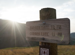
Hike Rollins Pass to Devils Thumb
2.1 mi / 622 ft gainCorona Lake is an easy, short hike if you're pressed for time. It's scenic, secluded, and will put you in a great spot to hike to Devils Thumb the next day. There are two ways to reach Devils Thumb. This is considered the "easier" route because of the "lack of elevation gain." The sun and wind re...Read more -
Walden, Colorado
Overnight at Nokhu Hut
5.03 mi / 540 ft gainThe Nokhu Hut is part of the Never Summer Nordic Hut system, and makes for the perfect beginner Hut trip. The Hut has a stocked kitchen, wood shed, and small wood burning stove that keeps the tiny hut toasty warm.From the Hut, it is a short, easy hike to Lake Agnes - the trail often stays snowy u...Read more -
Walden, Colorado
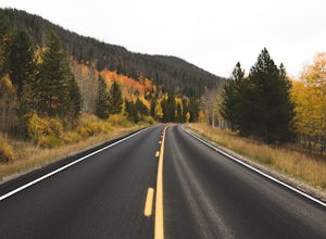
View Fall Color on Cameron Pass
From the front range, drive west of Fort Collins, Colo. on Highway 14 towards Walden, Colo. When you enter Highway 14 from Fort Collins, look for Ted's Place. Ted's is a gas station and convenient store, stop here to hit the bathroom, fill up on gas, and grab some snacks. There will be very few f...Read more -
Bellvue, Colorado
Winter camp at Zimmerman Lake
2.7 mi / 518 ft gainThis is a fairly popular snowshoeing and cross country skiing trail in the winter and offers a variety of additional trail options from the lake. Starting at the parking lot, the trailhead is easily accessed and begins the very gradual assent to Lake Zimmerman. Once at the lake, there are beautif...Read more -
Bellvue, Colorado
Hike to Comanche Lake in Pingree Park
3.58 mi / 700 ft gainYou start out hiking through the average Colorado forest for the first 4 miles of the 7-8 mile trip at about 6,500 feet. The trail is largely downhill for the first couple miles until it levels out and you are headed North. A little more than halfway, you come to Comanche Reservoir and hike up al...Read more -
Boulder, Colorado
Hike the Red Rocks Loop Trail
3.71 miParking is available on either Canyon or Sunshine Roads. During the weekends it tends to get crowded around sunset so plan accordingly. The entire trail is a loop and is a little over 1 mile in length so it doesn't take too long. The main feature is the massive red sand stone rocks that jut out o...Read more -
Boulder, Colorado
Watch Sunset from the Lost Gulch Overlook
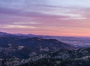
From Boulder, drive west on Baseline road. Continue up for about 5.5 miles past the Flagstaff Summit (Realization Point) pull off. After some more steep and very tight switchbacks there will be a dirt parking lot on the north side of the road. From here you can head northwest towards the cliff...Read more

