Yosemite Village, California
Looking for the best hiking in Yosemite Village? We've got you covered with the top trails, trips, hiking, backpacking, camping and more around Yosemite Village. The detailed guides, photos, and reviews are all submitted by the Outbound community.
Top Hiking Spots in and near Yosemite Village
-
Wawona, California
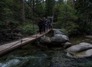
Wawona Swinging Bridge Trail
1.29 mi / 121 ft gainThe hike to the Wawona Swinging Bridge is a 0.7 mile dirt path. Start at the trailhead located next to the parking lot. The hike is surrounded by many trees which offers a lot of shade. For the first couple of minutes the trail is fairly straight. You then begin to hike down for just a minute or ...Read more -
Mariposa County, California
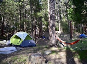
Camp at Wawona in Yosemite National Park
Wawona offers over 90 campsites in 3 loops, including 1 group site, 2 horse sites, and RV/ camper access.Every loop has at least 1 bathroom with flush toilets, but keep in mind that there are no showers at this campground.Pets are allowed, but must be kept on leash at all times.Each campground co...Read more -
Groveland, California
Hetch Hetchy to Rancheria Falls
4.812.55 mi / 2500 ft gainSituated in the northwest portion of Yosemite National Park, Hetch Hetchy is is a not often visited treasure of the Central Sierra Nevada. In 1913, in an extremely controversial move, work on the O’Shaughnessy Dam was started to provide water to the growing population of San Francisco. Today, Het...Read more -
Groveland, California
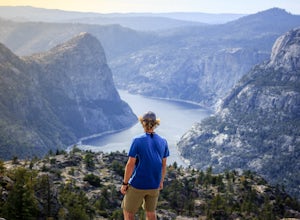
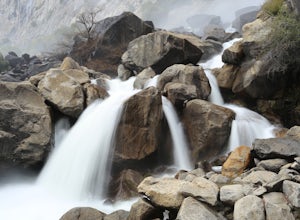
Wapama Falls
4.71 mi / 623 ft gainHetch Hetchy has a completely different character than other areas of Yosemite National Park, and the hike to Wapama Falls is an excellent way to explore this relatively remote section of the park. You can only imagine what this valley looked liked before it was dammed and is second to none compa...Read more -
Fish Camp, California
Hike through Mariposa Grove to Wawona Point
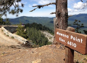
6 mi / 1200 ft gainThere is easy parking in the Mariposa Grove parking lot. There are a variety of trails through the grove; you can follow the NPS guide maps to see each of the iconic trees. These include tunnel trees you can walk through as well as overturned trees showing the immense root systems. From the parki...Read more -
Madera County, California
Backpack to Lower Merced Pass Lake
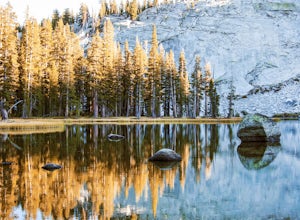
4.023 mi / 880 ft gainLMPL (let's be honest, the full name is a mouthful) is situated just below the crest of Merced Pass, and can be accessed by hiking south from Yosemite Valley, or north from Chiquito Pass. This is a stunning and much less crowded spot to camp, or a great way to access some of the less climbed moun...Read more -
Tuolumne County, California
Lyell Loop
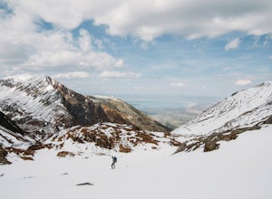
35.88 mi / 5541 ft gainStart the hike at the Mono pass trail. You'll eventually take the fork towards Parker Pass a couple miles in. We tackled the trail in late spring, and it quickly became clear that there was still enough snow to make our lives difficult. As we climbed out of the Parker drainage, the trail essenti...Read more -
Tuolumne County, California
Mono Pass to Silver Lake Trailhead via Koip Peak Pass
20.25 mi / 3606 ft gainThis trip begins in Yosemite National Park and can be completed as an out-and-back or by hiking one-way to the Ansel Adams Wilderness and exiting at Silver Lake on the east side of the mountains. Start at the Mono/Parker Pass trailhead, a few miles past Tuolumne Meadows. Don't forget to make a pe...Read more -
Tuolumne County, California
Middle Gaylor Lake
1.46 mi / 764 ft gainThe main trail to the Middle Gaylor Lake is about 1.5 miles round-trip, but if you’re looking for more adventure, you can hike a little further to Upper Gaylor Lake (which will add a mile to your trip) or continue on to the Great Sierra Mine (which will add 2 miles to your trip). The Gaylor Lake...Read more -
Twain Harte-Tuolumne City, California
Mount Dana
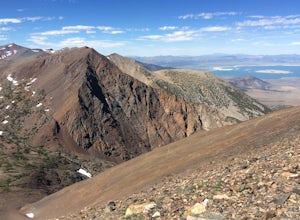
5.04.89 mi / 3120 ft gainThere's something special about the landscape that Yosemite National Park offers, and the scenery around Mount Dana is no different. The trail begins at the Tioga Gate entrance to Yosemite with the trailhead at the north end of the small parking lot south of the gate. It winds through the ponds,...Read more -
Lee Vining, California
Climb the Third Pillar of Dana
From Highway 120 (Tioga Road) you can park at the lot just above Tioga Lake. Another mile up the road is the Yosemite entrance, so if you hit that, you've gone too far. Follow the trail around the south side of the lake and into Glacier Canyon. After about 2 miles you'll start scrambling on the N...Read more -
Lee Vining, California
Junction Campground, Mono County
Junction campground is by far one of my favorite campsites when I am visiting the High Sierra and Tuolumne Meadows. The only downside is, you can only camp certain months; usually from June through October when highway 120 is open. The Junction campground is far away from the crowds of Yosemite...Read more -
Lee Vining, California
20 Lakes Basin Loop
5.07.81 mi / 915 ft gainThis trail is overall very easy to hike, but the 9.1mi distance at a 10,000ft altitude is what makes it a bit of a doozy for people who aren't frequent hikers. That said, if you are a relatively in-shape individual, you should have no problem with this trail. Remember to take frequent water bre...Read more -
Lee Vining, California
Climb North Peak via the NW Ridge
DirectionsAlthough North Peak lies right on the border of Yosemite, the hike starts just outside the park at the Saddle Bag Lake trail-head. There are also some campsites here if you wish to spend the night, but I think they are usually in high demand and hard to come by. To get to Saddlebag Lak...Read more -
Oakhurst, California
Camp at Nelder Grove Campground in Sierra National Forest
0 mi / 0 ft gainSites are located along Willow Creek with plenty of shape. Right out of the campground you can hike nearby Bull Buck Trail and discover the giant sequoia trees. This is a first-come first-serve campground so arrive early.Directions: Take Hwy 41 north from Fresno; continue thru Oakhurst to Sky Ran...Read more -
Oakhurst, California
Hike the Shadow of the Giants Trail
4.01.1 mi / 85 ft gainThe Shadow of the Giants National Recreation trail is an amazing 1.1 mile self-guided hike through the heart of Nelder Grove. Take Hwy 41 north from Fresno; continue thru Oakhurst to Sky Ranch Road (6S10 or Forest Road 10) travel approx. 5 miles to Nelder Grove, when you reach the camp area take ...Read more

