Winters, California
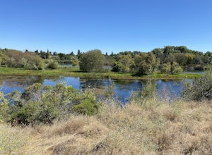
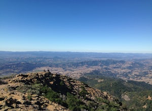
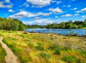
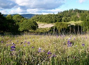
The best Trails and Outdoor Activities in Winters, California, include the Berryessa Peak Trail. This top-rated hiking trail stretches for 14.5 miles, presenting a challenge for seasoned hikers. It offers scenic views of Lake Berryessa and the surrounding rock formations. Another must-visit is the Putah Creek State Wildlife Area, perfect for bird watching and fishing. For a less strenuous outdoor adventure, the Historic Downtown Winters is a charming place to stroll, with its boutique shops and local eateries. Nearby, the Lake Solano Park offers canoeing and kayaking opportunities. These outdoor attractions make Winters a great destination for those seeking a mix of physical activity and relaxation.
Top Spots in and near Winters
-
Saint Helena, California
Hike Bald Mountain, Sugarloaf Ridge SP
5.06 mi / 1540 ft gainPark at the top of Adobe Canyon Road in the gravel parking lot to the left of the ranger kiosk. There is a $7.00 parking fee.There are many options for routes to the top; the easiest of which is mostly paved (although still steep in parts). To take this route, head north out of the trailhead park...Read more -
Kenwood, California
Pony Gate-Canyon Loop
4.02.17 mi / 568 ft gainThe Pony Gate-Canyon Loop within Sugarloaf Ridge State Park is a new favorite of mine on my list of family and kid-friendly hikes. Our little girls did great with this hike and loved it. If you can get moving early in the day and begin your hike around breakfast time, you might find there are few...Read more -
Glen Ellen, California
Corridor Ridge Loop Trail
4.02.48 mi / 289 ft gainCorridor Ridge Loop Trail is a loop trail where you may see wildflowers located near Glen Ellen, California.Read more -
Sonoma, California
Sonoma Valley Wine Tour Bike Ride
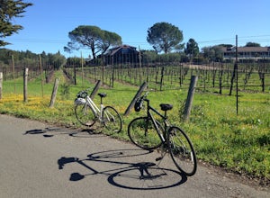
This 12 mile bike path starts at a rental shop in Sonoma Country called Sonoma Valley Bike Tours and Rentals. Follow the trail through the quaint residential area and into the back country vineyards and dirt trails. This ride can be anything between a hardcore 2 hour cycling workout with a few in...Read more -
Santa Rosa, California
Gunsight Rock via Hood Mountain Trail
5.07.91 mi / 2372 ft gainHike to Gunsight Rock through Hood Mountain Regional Park to get a view overlooking Sonoma and Napa Valley. In order to get to the trailhead take Highway 12 to Los Alamos Rd, the road will then turn into Timberline Dr, this will take you to the trailhead. There is a parking fee of $8. From the p...Read more -
Santa Rosa, California
Hood Mountain Summit Via Lower and Upper Johnson Ridge Trails
5.95 mi / 2054 ft gainHood Mountain Summit via the Lower Johnson and Upper Johnson Ridge Trails is a 6 mile out-and-back trek located in Santa Rosa, CA. The trailhead starts at the Pythian Road parking lot, accessed from Highway 12. The hike takes 3.5 to 4 hours to complete and is considered strenuous. All trails are...Read more -
Glen Ellen, California
Sonoma Ridge Trail
9.2 mi / 1955 ft gainSonoma Ridge Trail is a beautiful 9.2-mile out-and-back hike located near Glen Ellen, California. This hike is moderately difficult, with about 1955 feet in elevation change. 95% of the trail is covered in forest shade. Important Notes:Bikes and Horses are permitted on the trails. Dogs are NOT p...Read more -
Calistoga, California
Hike the Oat Hill Mine Trail
5.08.3 miThe incline on this trail begins pretty much right away and is fairly gradual for the entire hike, some of it is quite rocky, making this an easy to moderate level hike. However, with some shade (probably wouldn't attempt it on a hot summer day) and the sweeping views of the valley that get bette...Read more -
Calistoga, California
Hike Bald Hill in Robert Louis Stevenson State Park
3.2 mi / 1200 ft gainBald Hill is the first serious peak/summit that can be reached via the Oat Hill Mine Trail as it breaks from the more popular loop and heads into the heart of Robert Louis Stevenson State Park. To get there you can either begin at the less frequently used trailhead at Picket and Rosedale Roads he...Read more -
Glen Ellen, California
Wolf House in Jack London SP
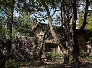
There is a museum in "The House of Happy Walls" which Mrs. London built in redwood grove find park information, exhibits and a small sales area there. A nearby trail leads to Jack London’s grave and to the remains of "Wolf House," London’s dream house which was destroyed by fire in 1913. The par...Read more -
Galt, California
Hike the Cosumnes River Walk Trail
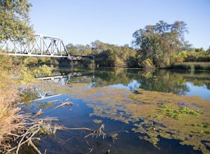
3.1 mi / 16 ft gainThis trail is a short, easy, accessible and beautiful trail for a nice afternoon walk (or photoshoot). I recommend the River Walk Trail (~3 miles). It is flat and easy to walk. There are multiple loops so you can turn back at any time. There are small bridges, access to the water, meadows, e...Read more -
Vallejo, California
Camp at Mare Island Shoreline Heritage Preserve
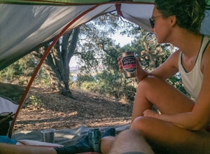
1 mi / 20 ft gainThis old Naval Base is now home to, well, almost nothing. As a weekend volunteer trip, myself and about 50 others got a little dirty creating 3 new campsites for you and your friends!During the day, the island has hikers exploring everywhere, but the preserve closes upon sunset and it's just you ...Read more -
Carmichael, California
Levee Path/American River Bike Trail: Williams Pond Rec Area to Watt Ave
5.93 mi / 112 ft gainLevee Path/American River Bike Trail: Williams Pond Rec Area to Watt Ave is a loop trail that is good for all skill levels located near Carmichael, California.Read more -
Calistoga, California
Hike Mount Saint Helena
4.310 mi / 2100 ft gainDrive north from Napa following Rt 29, through Calistoga and up into the forest. After passing the sign for Robert Louis Stevenson State Park, and just over the crest, there is a parking area on the right side of the road, opposite the trailhead on the left. Parking fills up by mid-morning so get...Read more -
Carmichael, California
Hike through the Effie Yeaw Nature Preserve
4.34.48 mi / 161 ft gainDetailsEffie Yeaw Nature Preserve is named after Effie Yeaw, a teacher, conservationist and environmental educator who frequented the area on educational nature walks. She was one of the leading forces behind preserving the land now known as The American River Parkway.Effie Yeaw Nature Preserve...Read more -
Santa Rosa, California
Hiking, Swimming, and Fishing in Wine Country
5.0Annadel State Park is located in the historic Valley of the Moon, just 60 miles north of San Francisco, in Sonoma. This popular 5,200 acre park features a wonderful variety of options to explore, boasting views of the Sonoma Valley, rolling meadows of wildflowers, and direct access to 26 acre Lak...Read more

