Windsor, California
Looking for the best chillin in Windsor? We've got you covered with the top trails, trips, hiking, backpacking, camping and more around Windsor. The detailed guides, photos, and reviews are all submitted by the Outbound community.
Top Chillin Spots in and near Windsor
-
Bodega Bay, California
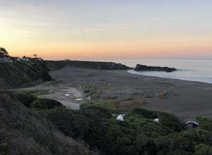
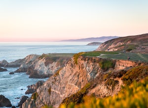
Camp at Wright's Beach Campground
/ 32 ft gainThis campground is defined by the scenery: rugged headlands, craggy coastlines, natural arches, and quiet coves.Wright's Beach Campground features primitive camping - basic tent sites with picnic tables, fire rings, and amazing ocean views. This is a great location for Bay Area campers who want t...Read more -
Sonoma County, California
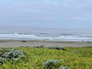
Salmon Creek State Beach
4.0Salmon Creek State Beach located is located just off Highway 1, north of Bodega, California. This beach has a parking lot and restroom on the cliff side, just a short walk down to the beach. DogsBoth North and South Salmon Creek sections of the state beach are not dog friendly due to the Federa...Read more -
Bodega Bay, California
Camp at Bodega Dunes Campground
These kind of getaways shouldn't be planned many weeks before the trip. So we didn't booked a campground. And from this experience we learn that you don't have to reserve a campground. Just go there - don't panic when you see campground is full sign in the entrance. There are always available spo...Read more -
Bodega Bay, California
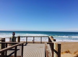
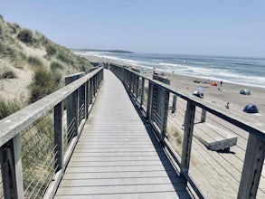
Bodega Dunes Beach
4.0Bodega Dunes Beach is located through the same entrance as Bodega Dunes Campground. There is a fee to enter the parking area for day use, but you can also access it without payment if you have a CA State Parks Pass. From the parking area heading toward the beach, you will see two picnic areas wi...Read more -
Bodega Bay, California
Bodega Head Nature Trail
4.71.67 mi / 121 ft gainSitting west of the San Andrea fault, the Bodega Head is a massive chunk of granite from the Salinian Block, a geological terrane that contains Point Reyes and the Farallon Islands, and shares its origins with the Sierra Nevada mountains, the Head itself having been carried hundreds of miles to t...Read more -
Cazadero, California
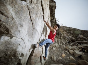
Bouldering at Fort Ross
3.0The main boulder is right there on the water. You literally have to watch out for the waves coming up on the shore otherwise they might wipe out your camp. But it's an awesome spot with even more awesome routes. There's also a traverse along the back wall if you're looking for something a little ...Read more -
Petaluma, California
Hike Helen Putnam Regional Park
4.06 mi / 550 ft gainA 216-acre park, Helen Putnam offers 9 trails that are relatively short but can be combined however you wish. Go 2 miles or 10 miles. Loop in and out, up or around. I take a different route every time I hike here.For a good 6-mile hike, begin at the southwest corner, where the parking lot and res...Read more -
Yountville, California
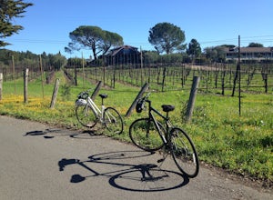
Bike the Napa Valley Wine Trail
12.5 mi / 100 ft gainThe Napa Vally Vine Trail is an ongoing project of the Napa Valley Vine Coalition which has the stated goal of creating a 47 mile long bike trail along the entire length of Napa Valley. Currently 12.5 miles of trail is available between downtown Yountville and Kennedy Park in the city of Napa. Yo...Read more -
Sonoma, California
Sonoma Valley Wine Tour Bike Ride
This 12 mile bike path starts at a rental shop in Sonoma Country called Sonoma Valley Bike Tours and Rentals. Follow the trail through the quaint residential area and into the back country vineyards and dirt trails. This ride can be anything between a hardcore 2 hour cycling workout with a few in...Read more -
Jenner, California
Hike the Central Trail
3.6 mi / 800 ft gainSalt Point State Park, about 90 miles north of San Francisco, features rugged, windswept coastline and dramatic forests of cypress, pine and redwoods. The Central Trail is a great way to experience much of the inland portion of the park including a unique highland Prairie where elk graze and are ...Read more -
Jenner, California
Bolete Mushroom Hunting
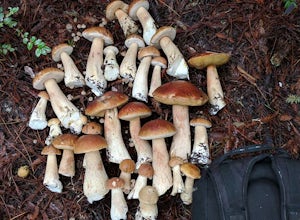
Salt Point State Park is a state park in Sonoma County, California, United States. The park covers 6,000 acres (2,400 ha) on the coast of Northern California, with 20 miles (32 km) of hiking trails and over 6 miles (9.7 km) of a rough rocky coast line including Salt Point which protrudes into the...Read more -
Jenner, California
Abalone Diving at Salt Point State Park
5.0Jenner is a great spot to head out in calm water with your abalone gear. The dives will be in depths of 10 to 15 ft. of water, with visibility usually in the 5-20 ft. range. Spend a little time doing your homework before entering the water and you'll be able to find easier entry areas.When you he...Read more -
Jenner, California
Hike the Salt Point Trail
3.73 mi / 100 ft gainThere are numerous points at which you can enter the trail from Highway 1, but on the north it begins as the Salt Point / Stump Beach Parking area and proceeds 1.2 miles to the Visitor Center (and south entrance) at the Gerstle Cove State Marine area, one of the first underwater state parks in Ca...Read more -
Jenner, California
Hike the North Trail to the Pygmy Forest
4 mi / 800 ft gainSalt Point State Park, about 90 miles north of San Francisco, features rugged, windswept coastline and dramatic forests of cypress, pine and redwoods. The North trail is a great way to experience much of the inland portion of the park including the unique Pygmy Forest, named for the stunted trees...Read more -
Novato, California
Mount Burdell Open Space Loop
4.87 mi / 1234 ft gainStart at the wide gravel parking lot. You will find the start of the San Andreas Fire Road on the south side leading up the mountain. The San Andreas Fire Road heads up the southern slope before joining the Middle Burdell Fire Road and then very quickly the Deer Camp Fire Road. Keep your eyes p...Read more -
Inverness, California
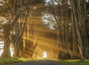
Photograph the Cypress Tree Tunnel in Point Reyes
4.3Just north of San Francisco, there's a row of giant Monterey cypress trees that forms a “tree tunnel”. Loved by Bay Area locals, it's a tucked away spot in the Point Reyes National Seashore for photographers to capture early morning sun rays, or for anyone to get some moments of solitude. At the ...Read more

