Whittier, California
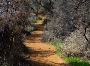
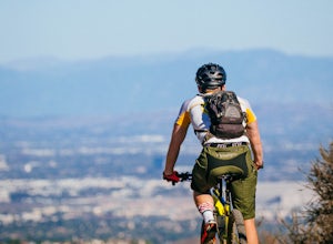
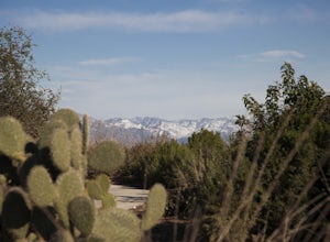
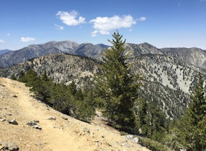
The Hellman Park Trail in Whittier, California is a top choice for outdoor adventures. This 4-mile round trip hike offers a moderate challenge with its steady incline and uneven terrain. Along the trail, you'll find scenic vistas of the city and the San Gabriel Mountains. Unique rock formations and native chaparral provide a backdrop for your hike. The trail also features a small stream and a variety of bird species. Near the location, the Whittier Narrows Recreation Area is a must-visit. It offers fishing, biking, and picnic areas along the San Gabriel River. The best Trails and Outdoor Activities are waiting for you in Whittier, California. Get your hiking boots ready and explore these natural attractions.
Top Spots in and near Whittier
-
1501 Will Rogers State Park Road, California
Backbone Trail via Will Rogers State Park
5.03.02 mi / 656 ft gainYou'll make your way up Will Rogers State Park Road, located just minutes from Santa Monica, Brentwood, Westwood, Malibu, Palisades, and much of west Los Angeles. Once on the road, head all the way to the top and you'll dead end into the parking lot. Always worth supporting State Parks with the p...Read more -
Santa Monica, California
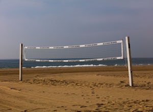
Beach Volleyball at Will Rogers State Beach
5.0At PCH and West Channel there is a tunnel that goes underneath the highway leading you directly onto the beach. In the tunnel take a left up the stairs onto the bike path. Head south 250 feet and you will hit the first set of courts but be aware you will need lines for these courts! If you want c...Read more -
Los Angeles, California
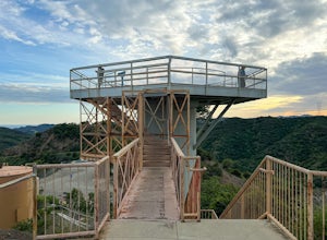
Inspiration Point Loop Trail
2.36 mi / 486 ft gainThe Inspiration Point 2.3 mile loop hike in Will Rogers State Park is a family-friendly hike or after-work run near Los Angeles, California. It’s a great dirt trail for all skill levels and features scenic views and beautifully budding wildflowers. You’ll get to escape the city and take in the br...Read more -
Newport Beach, California
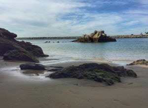
Boulder at Pirate's Cove
4.0This is a great spot for bouldering in Newport Beach, CA with really easy access from the parking lot at Big Corona Beach or street parking above on Ocean Blvd. There are not clear signs to follow, but it is easy to find from the parking lot at Big Corona - it is on the far west side toward the h...Read more -
Newport Beach, California
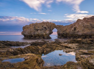
Exploring the Arches at Little Corona del Mar
4.9Little Corona del Mar Beach is a secluded beach located on Poppy Avenue across Ocean Boulevard in Corona del Mar. Known as one of the less crowded beaches in the area, this spot is the perfect place to chill for the day or photograph a sunset. You will find plenty of free street parking in the ne...Read more -
Los Angeles County, California
Mt. Williamson via Islip Saddle
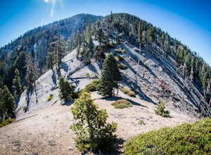
4.16 mi / 1519 ft gainThe trailhead is immediately off of Angeles Crest Highway CA-2 at Islip Saddle. It's just a touch over 2 miles to reach the summit, through which you'll be hiking among the pine tree forest practically the entire way up (part of this trail doubles as the Pacific Crest Trail). The summit is larg...Read more -
Azusa, California
Little Jimmy Trail Camp
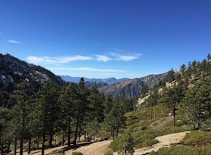
4.33.36 mi / 607 ft gainTake Hwy 2 out of La Canada north along Angeles Crest Highway. Follow this for quite some time enjoying the fine views in all directions. After traveling through two consecutive tunnels continue to the Islip Saddle parking lot (on left). There will be a vault toilet & a picnic table. Display ...Read more -
Los Angeles, California
Canyonback Nike Loop
4.06.02 mi / 1693 ft gainCanyonback Nike Loop is a loop trail that takes you by a river located near Encino, California.Read more -
Los Angeles, California
Temescal Canyon Loop
3.93.76 mi / 810 ft gainThere are a couple of different ways that you can hike in Temescal Canyon. For this one, the loop begins from Temescal Canyon Trail at Sunset Boulevard and is approximately 3.76 miles. This loop is not dog friendly. Additional Options for Hiking Temescal Canyon: The basic loop – 2.6 milesTh...Read more -
Newport Beach, California
Bommer Ridge from the Pacific Ridge Trailhead
7.54 mi / 394 ft gainThe Bommer Ridge West Trailhead aka The Pacific Ridge Trailhead begins at the edge of Ridge Park Road, overlooking CA State Highway 73, and marks the northwest entrance to the Laguna Coast Wilderness and its neighbor, Crystal Cove State Park. From the well-marked trailhead follow the trail south...Read more -
Newport Beach, California
Explore Deer Canyon
6.9 mi / 1489 ft gainThe Deer Canyon Loop Trail is an easy drive from Orange County and Newport Beach. In the spring, wildflowers are abundant along the trial. This is a favorite spot for trail runners, hikers, and mountain bikers. The trail is kept in great condition year-round and is very wide. There is very little...Read more -
Mount Baldy, California
Cedar Glen Camp
4.88 mi / 1650 ft gainCedar Glen Camp is a great beginner backpacking trip just outside of Los Angeles, California. Starting from the Icehouse Trailhead (also used for Cucamonga Peak), head out on the Icehouse Canyon Trail from the parking area. The trail will intersect with the Chapman Trail, at which point, you'll t...Read more -
Mount Baldy, California
Cucamonga Peak via Icehouse Canyon
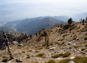
4.611.13 mi / 4157 ft gainStart hiking early, before the sun rises so you can maximize the day out of the heat and to give yourself plenty of time for the hike. As you get to higher elevations, it will be a little cooler and there might be snow on the ground, so be sure to pack layers. This hike requires a permit. If yo...Read more -
Mount Baldy, California
Icehouse Saddle via Icehouse Canyon Trail
3.86.62 mi / 2562 ft gainThe hike is accessible in all seasons, but in winter there can be snow and ice so special equipment may be useful, but not required. In mid-January there were patches of ice on the trail but were easily crossed in boots and trainers. You can take the trail and end at Ice house Saddle or continue ...Read more -
Mount Baldy, California
Ontario Peak and Cucamonga Peak via Icehouse Canyon Trailhead
16.22 mi / 5610 ft gainWe started out at 8am on a Sunday, usually parking at Ice House Saddle can be tricky, I would advise going earlier. We headed out on our journey hiking up to the saddle, when you reach the switchbacks there is a fresh water spring, it's the last place you can get water...so stock up! We pressed o...Read more -
Lake Forest, California
Hike Borrego Canyon to Red Rock Canyon Trails
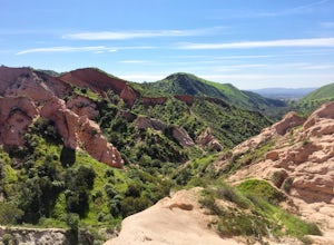
4.64.2 mi / 500 ft gainJust south east of the city of Irvine, on the southern end of Orange County, is the scenic Whiting Ranch Wilderness Park. Don't let the newly developed shopping centers restaurants fool you, because just beyond the parking lot ($3 Daily Use Fee) of the Borrego Canyon Trailhead, you will find your...Read more


