Tomales, California
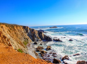
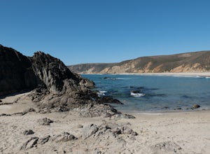
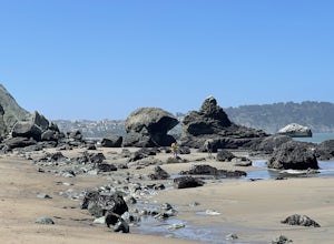
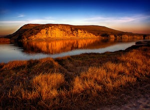
Looking for the best hiking in Tomales? We've got you covered with the top trails, trips, hiking, backpacking, camping and more around Tomales. The detailed guides, photos, and reviews are all submitted by the Outbound community.
Top Hiking Spots in and near Tomales
-
Inverness, California
Tomales Point Trail
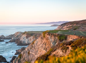
4.79.47 mi / 1165 ft gainThis hike will take you through the Tule Elk Preserve in Point Reyes Nation Seashore, and offers fantastic views of Bodega and Tomales Bay, as well as the Pacific Ocean. Start at the Tomales Point Trailhead near the Historic Pierce Point Ranch. Follow the trail for roughly three miles. This trai...Read more -
Inverness, California
McClures Beach
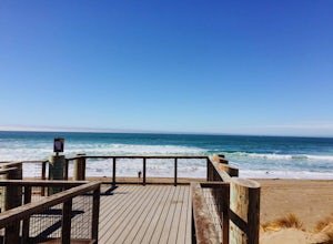
1.44 mi / 243 ft gainThis beach is really easy to get to. Just follow Pierce Point Road until you see the sign to the beach. It's an easy hike down from the parking lot. There is very little shade, so make sure to bring some sunscreen. Be extremely cautious with getting into the water. There is likely underwater cu...Read more -
Inverness, California
Marshall Beach Trail
5.02.41 mi / 305 ft gainMarshall Beach Trail is an out-and-back trail that provides a good opportunity to see wildlife located near Inverness, California.Read more -
Inverness, California
Abbotts Lagoon Trail
4.63.43 mi / 102 ft gainIf you like beaches, headlands, scenic landscapes, wildflowers, and tons of wildlife viewing, you should give this hike a try. Although it only takes about an hour to complete the out-and-back, the vibe surrounding this area is just begging you to slow down and enjoy your natural surroundings. T...Read more -
Bodega Bay, California
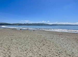
Doran Beach
5.04.02 mi / 75 ft gainDoran Beach is nestled within the picturesque landscape of Doran Regional Park near Bodega Bay, California. Offering pristine shores and captivating vistas, this is a coastal gem that allows visitors a more protected coastal landscape than nearby Salmon Creek State Beach. Explore sandy beaches ...Read more -
Bodega Bay, California
Bodega Head Nature Trail
4.71.67 mi / 121 ft gainSitting west of the San Andrea fault, the Bodega Head is a massive chunk of granite from the Salinian Block, a geological terrane that contains Point Reyes and the Farallon Islands, and shares its origins with the Sierra Nevada mountains, the Head itself having been carried hundreds of miles to t...Read more -
Bodega Bay, California
Camp at Bodega Dunes Campground
These kind of getaways shouldn't be planned many weeks before the trip. So we didn't booked a campground. And from this experience we learn that you don't have to reserve a campground. Just go there - don't panic when you see campground is full sign in the entrance. There are always available spo...Read more -
Sebastopol, California
Ragle Ranch Extended Loop
5.01.86 mi / 82 ft gainRagle Ranch Extended Loop is a loop trail where you may see local wildlife located near Sebastopol, CaliforniaRead more -
Sebastopol, California
Thistle - Creek Loop
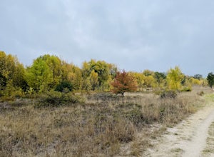
5.01.45 mi / 69 ft gainThe Thistle - Creek Loop is a loop trail at Ragle Ranch. This trail is used for hiking and running and offers some cover/shade as well as great views of foliage especially in the fall months. This trail is located near Sebastopol, California.Read more -
-
Inverness, California
Hike the Estero Trail
5.08 mi / 200 ft gainJune sunshine blazes on your shoulders during this scenic stroll through the Point Reyes Seashore. The trail is alive and awash with colorful wildflowers around every corner.Beginning at the trailhead, just off Home Ranch Road, with a convenient parking lot and bathroom, you'll wade through a hal...Read more -
Occidental, California
LandPaths Grove of Old Trees
5.00.7 mi / 92 ft gainThe Grove of Old trees is a privately-owned preserve in Western Sonoma County that is open to the public year round. It is not large, only about 33 acres, but it makes a wonderful spot to go on a walk and to soak in the beauty of the redwoods. To get there from downtown Occidental, drive West up...Read more -
Sebastopol, California
Laguna de Santa Rosa Loop Trail
4.03.95 mi / 115 ft gainLaguna de Santa Rosa Loop Trail is a loop trail that takes you by a lake located near Sebastopol, California.Read more -
Occidental, California
Watershed View Trail
4.01.54 mi / 174 ft gainThe Watershed View Trail is located off of Coleman Valley Road and shares a trailhead with the Hunters Camp and Creekside Loop. This trail is a 1.5-mile out-and-back, which makes for a great trail to get the family out on to get some energy out. Be prepared for a muddy trail if there has been rec...Read more -
Occidental, California
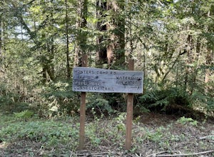
Hunters Camp and Creekside Loop
5.36 mi / 853 ft gainHunters Camp and Creekside Loop is an almost 6-mile loop off of Coleman Valley Road in Occidental, California. This trail can get pretty muddy during the rainy season, but as an added bonus, it makes the waterfall along the Creekside Trail that much better. Dogs are not permitted on this trail.Read more -
Petaluma, California
Hike Helen Putnam Regional Park
4.06 mi / 550 ft gainA 216-acre park, Helen Putnam offers 9 trails that are relatively short but can be combined however you wish. Go 2 miles or 10 miles. Loop in and out, up or around. I take a different route every time I hike here.For a good 6-mile hike, begin at the southwest corner, where the parking lot and res...Read more

